Archaeological sites · Scottish Highlands
Drumtochty Forest
Drumtochty Forest — forest in Aberdeenshire, Scotland, UK.

Wikimedia Commons licence
Plan your visit
- Typical visit
- 45 min–1.5 h
- Free entry
- Dog-friendly
About
Drumtochty Forest is an archaeological site in the United Kingdom. Wikidata describes it as: "forest in Aberdeenshire, Scotland, UK". Coordinates: 56.9250°, -2.5032°.
Photo gallery
From the Wikipedia article
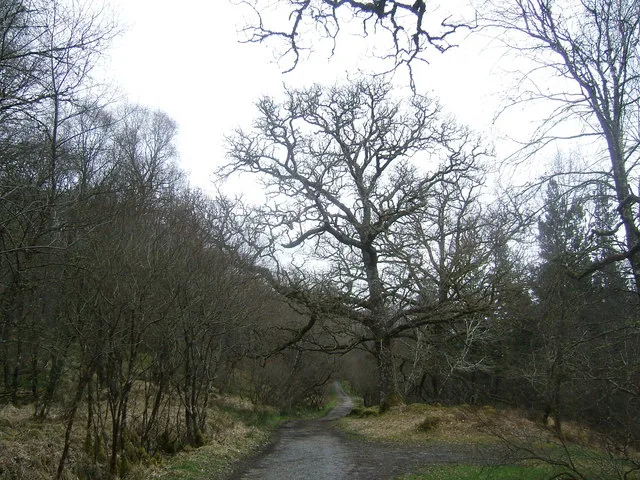
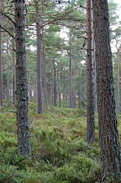
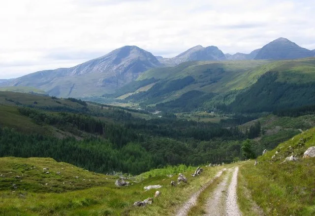
Drumtochty Forest is a coniferous woodland in Kincardineshire, Scotland. In earlier times this forest was associated with Drumtochty Castle. Other notable buildings in this part of the Mearns include Fasque House, Fetteresso Castle, and Muchalls Castle. Ian Maclaren mentions Drumtochty Forest in his bestseller book of stories "Beside the Bonnie Brier Bush", a collection of tales of Rural Scotland, which shone light on the Scottish way of life. Drumtochty forest comprises a distance of 1.5 miles which takes an estimated 1 hour to travel across it. It will be recommended for hikers to carry a map to navigate through the forest due to no way markings in the forest.
Excerpt from Wikipedia under CC BY-SA 4.0. See the source article linked in Sources below.
- Coordinates
- 56.9250, -2.5032
- District
- Aberdeenshire
- Postcode
- AB30 1TP
- Parliamentary constituency
- West Aberdeenshire and Kincardine
Sources
- wikidata: Q5309312 (CC0)
- wikipedia: Drumtochty Forest (CC BY-SA 4.0)
Other places nearby
Loading nearby places…
Nearby
 📷 3
📷 3Castles · Scottish Highlands
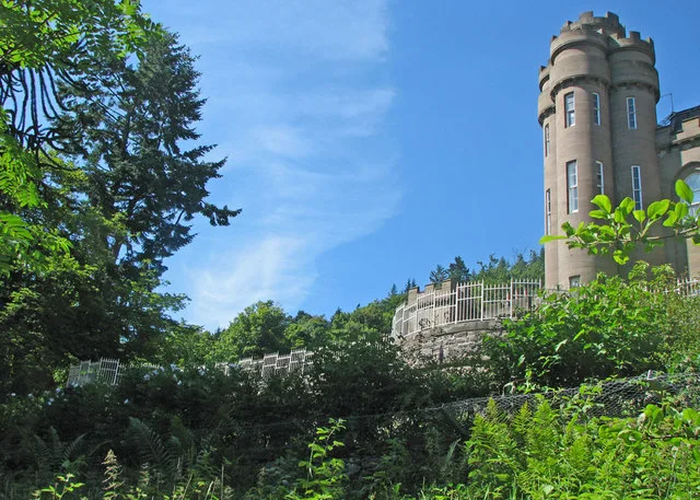
Drumtochty Castle
Drumtochty Castle — castle in Aberdeenshire, Scotland, UK.
 📷 5
📷 5Historic churches · Scottish Highlands
Saint Palladius's Episcopal Church, Drumtochty
Saint Palladius's Episcopal Church, Drumtochty — category A listed building-listed church in scotland-highlands, United Kingdom.
 📷 5
📷 5Towns & cities · Scottish Highlands
Auchenblae
Auchenblae — village in Aberdeenshire, Scotland, UK.
 📷 3
📷 3Memorials & monuments · Scottish Highlands
Bruce Fountain
Bruce Fountain — a memorial in scotland-highlands, United Kingdom.
 📷 3
📷 3Memorials & monuments · Scottish Highlands
Wishart Memorial
Wishart Memorial — a memorial in scotland-highlands, United Kingdom.
📷 5Historic churches · Scottish Highlands
Auchenblae Parish Church
Auchenblae Parish Church — category B listed building-listed church in scotland-highlands, United Kingdom.
More archaeological sites in this region
 📷 5
📷 5Archaeological sites · Scottish Highlands
Ariundle Oakwood National Nature Reserve
Ariundle Oakwood National Nature Reserve — forested nature reserve in Highland, Scotland, UK.
 📷 3
📷 3Archaeological sites · Scottish Highlands
Abernethy Forest
Abernethy Forest — forest in Highland, Scotland, UK.
 📷 3
📷 3Archaeological sites · Scottish Highlands
Abriachan Forest
Abriachan Forest — Forest near Abriachan village in Scotland.
 📷 3
📷 3Archaeological sites · Scottish Highlands
Achnashellach Forest
Achnashellach Forest is a archaeological site in the United Kingdom.
Frequently asked questions
- Where is Drumtochty Forest?
- Drumtochty Forest is in Scottish Highlands, in the United Kingdom — coordinates 56.9250°, -2.5032°.
- Is Drumtochty Forest free to visit?
- Yes — admission to Drumtochty Forest is free.