Natural landmarks · North Wales
Drum
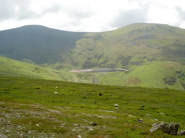
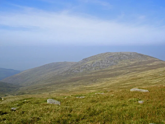
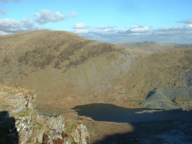
Drum — mountain (771m) in Gwynedd.

Wikimedia Commons contributors — see linked file page for photographer and licence licence
Plan your visit
- Typical visit
- 1 h–2 h
- Nearest railway station
- Llanfairfechan · 6.4 km
- Free entry
- Dog-friendly
About
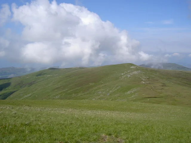
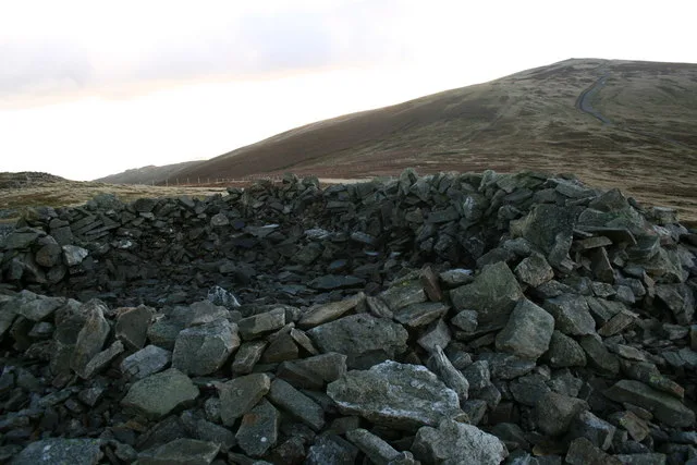
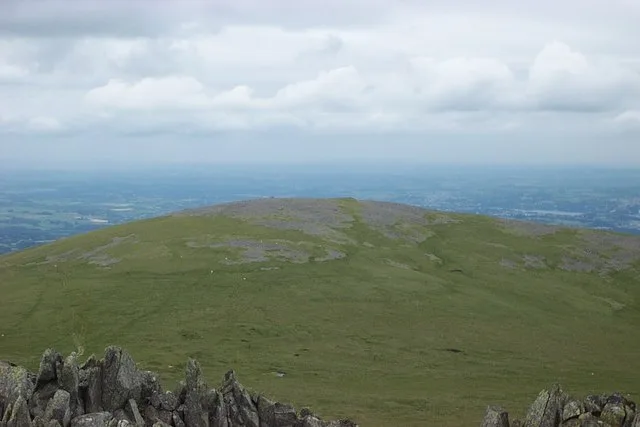
Drum is a named natural landmark in the United Kingdom. Wikidata describes it as: "mountain (771m) in Gwynedd". Coordinates: 53.2068°, -3.9360°.
Photo gallery
From the Wikipedia article
Drum (Welsh pronunciation: [ˈdrɨm]) (Welsh: Y Drum = the ridge) is a summit in the Carneddau mountains in northern Wales, 2 km north-east of Foel-fras. It is 771 m (2,526 ft) high. It is also known as Carnedd Penyborth-Goch. Its eastern slopes are drained by the Afon Tafolog, a tributary of Afon Roe which flows through the village of Rowen before joining the River Conwy.
Excerpt from Wikipedia under CC BY-SA 4.0. See the source article linked in Sources below.
- Coordinates
- 53.2068, -3.9360
- Address
- Conwy / Gwynedd, Wales
- Nearest railway station
- Llanfairfechan — 6.4 km
- Official site
- www.cs.cf.ac.uk
Sources
- wikidata: Q5309044 (CC0)
- wikipedia: Drum (Wales) (CC BY-SA 4.0)
- commons: Looking back along the ridge I've walked - geograph.org.uk - 835185.jpg (CC BY-SA 4.0)
Other places nearby
Loading nearby places…
Nearby
 📷 3
📷 3Mountains & hills · North Wales
Drum
Drum — Named summit at 770 m.
 📷 3
📷 3Mountains & hills · North Wales
Carnedd Y Ddelw
Carnedd Y Ddelw — Named summit at 688 m.
 📷 3
📷 3Mountains & hills · North Wales
Pen Y Castell
Pen Y Castell — Named summit at 620 m.
 📷 3
📷 3Mountains & hills · North Wales
Drosgl
Drosgl — Named summit at 621 m.
 📷 3
📷 3Mountains & hills · North Wales
Foel Fras
Foel Fras — Named summit at 942 m.
 📷 3
📷 3Mountains & hills · North Wales
Llwytmor
Llwytmor — Named summit at 849 m.
More natural landmarks in this region
 Flagship📷 5
Natural landmarks · North Wales
Llyn Llydaw
Llyn Llydaw is a natural landmark in the United Kingdom.
 📷 5
📷 5Natural landmarks · North Wales
Llyn Tegid
Llyn Tegid is a natural landmark in the United Kingdom.
 📷 3
📷 3Natural landmarks · North Wales
Allt-fawr
Allt-fawr — mountain (698m) in Gwynedd, Wales.
 📷 3
📷 3Natural landmarks · North Wales
Aran Benllyn
Aran Benllyn — mountain (885m) in Gwynedd.
Frequently asked questions
- Where is Drum?
- Drum is in North Wales, United Kingdom.
- Is Drum free to visit?
- Yes, Drum is free to enter.
- How do I get to Drum?
- The nearest railway station is Llanfairfechan, about 6.4 km away.