Cemeteries · Yorkshire & the Humber
Dringhouses Cemetery
Also known as: Dringhouses
Dringhouses Cemetery is a cemetery in the United Kingdom.

DS Pugh — CC BY-SA 2.0 via Wikimedia Commons licence
Plan your visit
- Typical visit
- 30 min–1 h
- Nearest railway station
- Erskine Halt · 1.7 km
- Free entry
- Dog-friendly
About
Dringhouses Cemetery is a named cemetery in the United Kingdom. Coordinates: 53.9297°, -1.1158°. This entry is part of The Great Britain Guide, a free, ad-free, open-data tourist directory.
Photo gallery
From the Wikipedia article
Dringhouses is a suburb of York, in the ceremonial county of North Yorkshire, England. Historically part of the West Riding of Yorkshire, it is bounded by the Knavesmire, an open area of land on which York Racecourse is situated, to the east, Askham Bog and the A64 to the south, Woodthorpe and Foxwood to the west, and Acomb and Holgate to the north. It is part of the City of York ward is called Dringhouses and Woodthorpe which covers an area of 4.3 km2 (1.7 sq mi) and had a population of 11,084 at the 2011 Census. It is located approximately two and quarter miles from York City Centre. The name derives from "Drengeshirses" (1109) and means "the houses of the drengs", a "dreng" being a man who held land by a particular kind of free tenure. It is a mixture of housing estates and large open spaces, with the East Coast main railway line running through the middle.
Excerpt from Wikipedia under CC BY-SA 4.0. See the source article linked in Sources below.
Background
History
Five Neolithic stone axes provide the earliest evidence for human activity in the area of Dringhouses which is located on a ridge of glacial moraine running southwest from York that may have been used during the Bronze Age as a well-defined trade route. A Roman road linking Eboracum (York) with Calcaria (Tadcaster) was constructed on this route along which civilian settlements developed as shown by archaeological evidence including a Roman cemetery and timber-framed buildings from the 1st to 2nd-century. The Old Norse name from which Dringhouses is derived, indicates the villagers were the descendants of Halfdan, the Viking leader who had taken the area from the Angles and had shared the…
Sourced from Wikipedia under CC BY-SA 4.0.
- Coordinates
- 53.9297, -1.1158
- District
- York
- Parish
- York, unparished area
- Postcode
- YO23 2BB
- Parliamentary constituency
- York Outer
- Nearest railway station
- Erskine Halt — 1.7 km
Sources
- osm: w26456553 (ODbL)
- wikipedia: Dringhouses (CC BY-SA 4.0)
Other places nearby
Loading nearby places…
Nearby
 📷 5
📷 5Natural landmarks · Yorkshire & the Humber
Ashfield Secondary Modern School
Ashfield Secondary Modern School — a school heritage in england-yorkshire, United Kingdom.
 📷 3
📷 3Public art & sculpture · Yorkshire & the Humber
The Sun
The Sun — a public art in england-yorkshire, United Kingdom.
.jpg?width=1200) 📷 5
📷 5Forests & woodlands · Yorkshire & the Humber
Askham Bog
Askham Bog is a forest or woodland in the United Kingdom.
 📷 5
📷 5Natural landmarks · Yorkshire & the Humber
Dringhouses Library
Dringhouses Library — a school heritage in england-yorkshire, United Kingdom.
 📷 3
📷 3Memorials & monuments · Yorkshire & the Humber
War Memorial at the Church of St Edward the Confessor
War Memorial at the Church of St Edward the Confessor — Grade II listed building-listed memorial in england-yorkshire, United Kingdom.
 📷 5
📷 5Museums · Yorkshire & the Humber
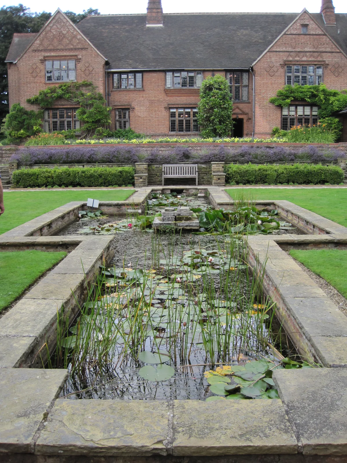
Goddards
Goddards — historic house museum in York, North Yorkshire, England, UK.
More cemeteries in this region
 📷 4
📷 4Cemeteries · Yorkshire & the Humber
Altofts Cemetery
Altofts Cemetery is a cemetery in the United Kingdom.
 📷 3
📷 3Cemeteries · Yorkshire & the Humber
Anlaby Tranby Lane Cemetery
Anlaby Tranby Lane Cemetery is a cemetery in the United Kingdom.
 📷 3
📷 3Cemeteries · Yorkshire & the Humber
Armley Hill Top Cemetery
Armley Hill Top Cemetery is a cemetery in the United Kingdom.
 📷 3
📷 3Cemeteries · Yorkshire & the Humber
Barmby on the Marsh Burial Ground
Barmby on the Marsh Burial Ground is a cemetery in the United Kingdom.
Frequently asked questions
- Where is Dringhouses Cemetery?
- Dringhouses Cemetery is in Yorkshire & the Humber, in the United Kingdom — coordinates 53.9297°, -1.1158°. The nearest railway station is Erskine Halt, around 1.7 km away.
- Is Dringhouses Cemetery free to visit?
- Yes — admission to Dringhouses Cemetery is free.