Aqueducts · South West England
Drake's Leat
Drake's Leat — aqueduct in Devon, England.

Wikimedia Commons licence
Plan your visit
- Typical visit
- 30 min–1 h
- Nearest railway station
- Plymouth · 1.4 km
- Free entry
- Dog-friendly
About
Drake's Leat is a aqueduct in the United Kingdom. Wikidata describes it as: "aqueduct in Devon, England". Coordinates: 50.3680°, -4.1320°.
Photo gallery
Protected designations
- Area of Outstanding Natural Beauty: Tamar Valley
Designations sourced from Natural England open data under OGL v3.
From the Wikipedia article
Drake's Leat, also known as Plymouth Leat, was a watercourse constructed in the late 16th century to tap the River Meavy on Dartmoor, England, from which it ran 17.5 miles (28.2 km) in order to supply Plymouth with water. It began at a point now under water at Burrator Reservoir, from which its path now emerges some 10m lower than the typical reservoir water level. It was one of the first municipal water supplies in the country.
Excerpt from Wikipedia under CC BY-SA 4.0. See the source article linked in Sources below.
Background
Architecture
Due to lack of funding caused by the war with Spain and the Armada, construction was not started until 1590 and completed in 1591. The construction of the leat was by means of a simple ditch and bank which measured approximately six feet at its widest and was approximately two feet deep. Its course was deliberately meandering and gently sloping so that the water would not flow too fast and erode the banks. It was estimated that it took some thirty five men just over four months to complete the construction. Drake took part in the ceremonial turning of the first sod in December 1590. On 24 April 1591, the supply of water first flowed to Plymouth and the leat was blessed by the rector of…
Sourced from Wikipedia under CC BY-SA 4.0.
- Coordinates
- 50.3680, -4.1320
- District
- Plymouth
- Parish
- Plymouth, unparished area
- Postcode
- PL4 0HJ
- Parliamentary constituency
- Plymouth Sutton and Devonport
- Phone
- +44 844 893 7938
- Nearest railway station
- Plymouth — 1.4 km
- Official site
- www.national-aquarium.co.uk
Sources
- wikidata: Q5305574 (CC0)
- wikipedia: Drake's Leat (CC BY-SA 4.0)
Other places nearby
Loading nearby places…
Nearby
 📷 3
📷 3Piers · South West England
Shepherds Wharf
Shepherds Wharf is a pier in the United Kingdom.
 📷 4
📷 4Piers · South West England
Sutton Quay
Sutton Quay is a pier in the United Kingdom.
📷 4Piers · South West England
Sutton Quay
Sutton Quay is a pier in the United Kingdom.
📷 4Piers · South West England
Sutton Quay
Sutton Quay is a pier in the United Kingdom.
 📷 4
📷 4Piers · South West England
West Pier
West Pier is a pier in the United Kingdom.
 📷 3
📷 3Zoos & aquariums · South West England
Roboshark
Roboshark is a robotic shark made by Andrew Sneath in 2003. It appeared in a BBC Natural History Unit Wildlife Special entitled "Smart Sharks: Swimming with Roboshark", in which a camera attached to t
More places in this region
 📷 5
📷 5Aqueducts · South West England
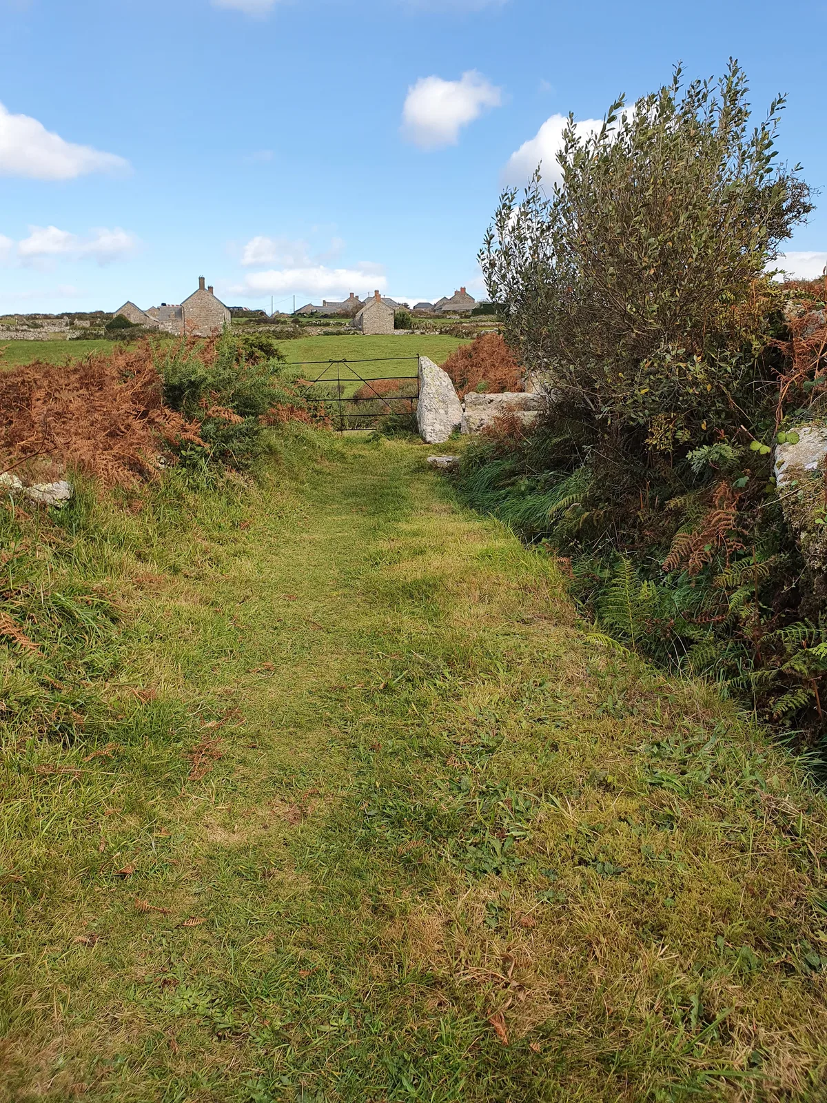
Aqueduct and stiles at SW 419371
Aqueduct and stiles at SW 419371 — aqueduct in Zennor, Cornwall, England, UK.
 📷 5
📷 5Aqueducts · South West England
Aqueduct At Ngr 1438 2178
Aqueduct At Ngr 1438 2178 — aqueduct in Nynehead, Taunton Deane, Somerset, England, UK.
 📷 5
📷 5Aqueducts · South West England
Beam Aqueduct
Beam Aqueduct — bridge in Torridge, Devon, England, UK.
 📷 5
📷 5Aqueducts · South West England
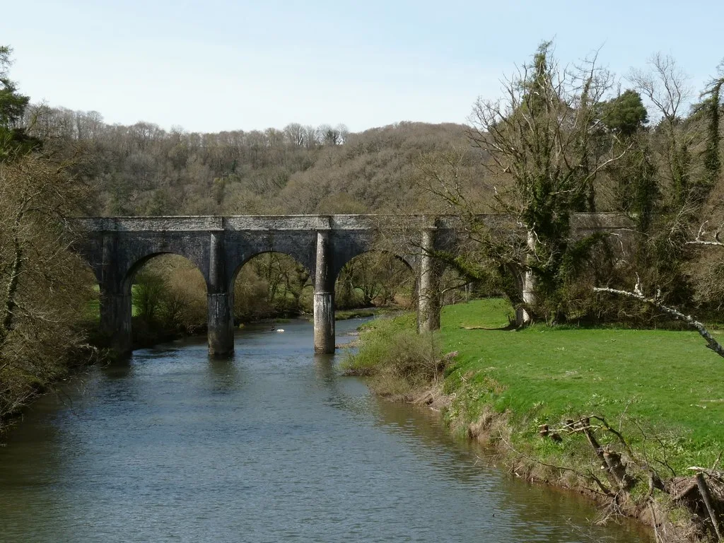
Bridgetown Aqueduct
Bridgetown Aqueduct — aqueduct in Werrington, Cornwall, England, UK.
Frequently asked questions
- Where is Drake's Leat?
- Drake's Leat is in South-West England, United Kingdom (postcode PL4 0HJ), in the parish of Plymouth, unparished area.
- Is Drake's Leat a protected site?
- Yes — Drake's Leat is part of the Tamar Valley National Landscape (AONB).
- Is Drake's Leat free to visit?
- Yes, Drake's Leat is free to enter.
- How do I get to Drake's Leat?
- The nearest railway station is Plymouth, about 1.4 km away. Drivers can navigate to postcode PL4 0HJ.