Natural landmarks · North West England
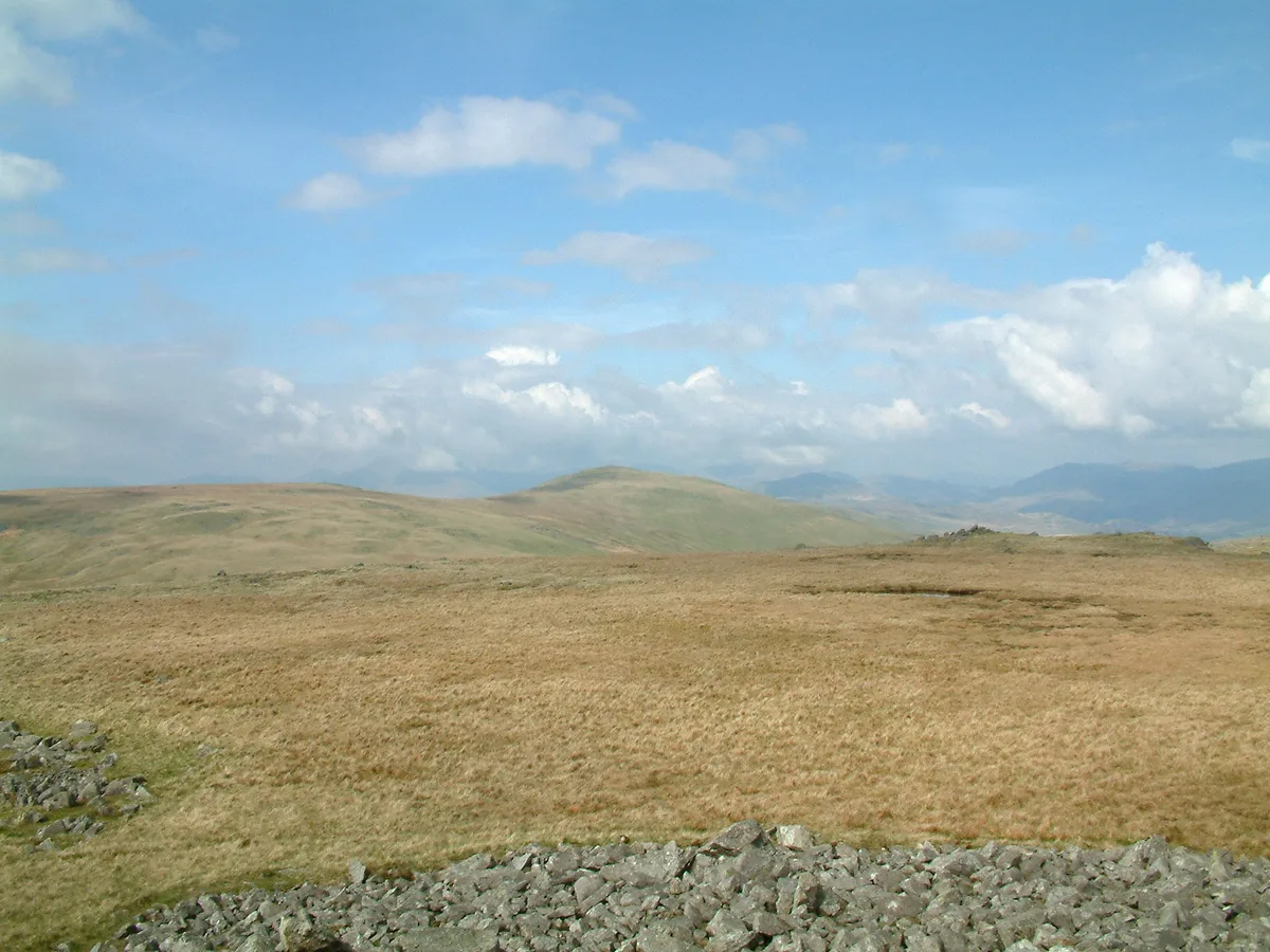
Devoke Water
Devoke Water — lake in the United Kingdom.

Wikimedia Commons contributors — see linked file page for photographer and licence licence
Plan your visit
- Typical visit
- 1 h–2 h
- Nearest railway station
- Eskdale Green · 3.2 km
- Free entry
- Dog-friendly
About
Devoke Water is a named natural landmark in the United Kingdom. Wikidata describes it as: "lake in the United Kingdom". Coordinates: 54.3592°, -3.3028°.
Photo gallery
Protected designations
- Site of Special Scientific Interest: Brantrake Moss & Devoke Water SSSI
Designations sourced from Natural England open data under OGL v3.
From the Wikipedia article
Devoke Water is a small lake in the south west of the Lake District in North West England. It is the largest tarn in the Lake District, a tarn being a specific type of glacial lake formed when a hollow is created on a mountain. The lake is 1.17 kilometres (0.73 mi) long, has an area of 0.34 square kilometres (0.13 sq mi) and lies at an altitude of 236 metres (774 ft) on Birker Fell. Its outflow, to the north west, is Linbeck Gill, which joins the River Esk before flowing into the Irish Sea at Ravenglass. The lake is in the unitary authority of Cumberland and the ceremonial county of Cumbria. Its south-western shore forms part of the south-western boundary of Eskdale parish, in which it is situated. Devoke Water can be reached via a bridle track. There is a two-storey stone boathouse-cum-refuge and a ruined stable. The fishing rights to the lake are owned by Millom Anglers and it is stocked with brown trout. It also holds perch.
Excerpt from Wikipedia under CC BY-SA 4.0. See the source article linked in Sources below.
Background
Description
One of the chapters of Alfred Wainwright's The Outlying Fells of Lakeland is a circular walk anticlockwise around Devoke Water, starting and finishing on the road to the east. He describes the summits Rough Crag at 1049 ft, Water Crag at 997 ft, White Pike at 1370 ft, Yoadcastle at 1610 ft, Woodend Height at 1597 ft and Seat How at 1020 ft, and says that "it is predominantly for the mountain prospect that this walk gains a strong recommendation", noting that the view from the summits includes Pillar and nearby fells to the north, the Scafell group to the north north east and the Bowfell group to the north east, as well as the Isle of Man and Sellafield power station. He warns that "Linbeck…
Sourced from Wikipedia under CC BY-SA 4.0.
- Coordinates
- 54.3592, -3.3028
- Address
- Lake District, Cumbria
- Nearest railway station
- Eskdale Green — 3.2 km
Sources
- wikidata: Q5267648 (CC0)
- wikipedia: Devoke Water (CC BY-SA 4.0)
- commons: Devoke Water - geograph.org.uk - 1724808.jpg (CC BY-SA 4.0)
Other places nearby
Loading nearby places…
Nearby
.jpg?width=1200) 📷 3
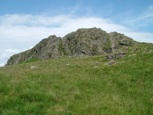
📷 3Archaeological sites · North West England
Prehistoric cairnfield, associated field system and hut circle east of Water Crag
Prehistoric cairnfield, associated field system and hut circle east of Water Crag — archaeological site in Eskdale, Copeland, England, UK.
 📷 3
📷 3Archaeological sites · North West England
Great Crag prehistoric cairnfield and associated field system 710m south east of Birkerthwaite
Great Crag prehistoric cairnfield and associated field system 710m south east of Birkerthwaite — archaeological site in Eskdale, Copeland, England, UK.
Campsites · North West England
Fisherground Campsite
Fisherground Campsite — a campsite in england north west.
 📷 5
📷 5Archaeological sites · North West England
Giggle Alley
Giggle Alley — woodland in Eskdale Green, England.
 📷 3
📷 3Mountains & hills · North West England
Whitfell
Whitfell — Named summit at 573 m.
 📷 3
📷 3Natural landmarks · North West England
Whitfell
Whitfell — mountain in United Kingdom.
More natural landmarks in this region
 ★ Iconic📷 4
Natural landmarks · North West England
Coniston Water
Lake District lake — Swallows and Amazons setting and Donald Campbell water-speed history.
 📷 3
📷 3Natural landmarks · North West England
Elter Water
Elter Water — lake in the United Kingdom.
 📷 3
📷 3Natural landmarks · North West England
Esthwaite Water
Esthwaite Water — lake in the United Kingdom.
 Flagship📷 5
Natural landmarks · North West England
Semerwater
Semerwater — lake in North Yorkshire, England, UK.
Frequently asked questions
- Where is Devoke Water?
- Devoke Water is in North-West England, United Kingdom.
- Is Devoke Water a protected site?
- Yes — Devoke Water is part of the Brantrake Moss & Devoke Water SSSI Site of Special Scientific Interest.
- Is Devoke Water free to visit?
- Yes, Devoke Water is free to enter.
- How do I get to Devoke Water?
- The nearest railway station is Eskdale Green, about 3.2 km away.