Historic churches · South West England
Delabole
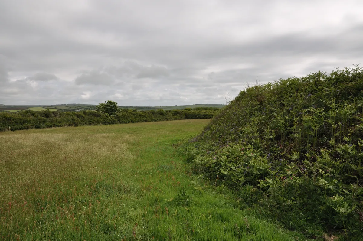
Delabole (Cornish: Delyow Boll) is a large village and civil parish in north Cornwall, England, United Kingdom, which lies approximately two miles (3 km) west of Camelford. The village of Delabole cam

Philip Halling — CC BY-SA 2.0 via Wikimedia Commons licence
Plan your visit
- Typical visit
- 30 min–1 h
- Free entry
About
Delabole (Cornish: Delyow Boll) is a large village and civil parish in north Cornwall, England, United Kingdom, which lies approximately two miles (3 km) west of Camelford. The village of Delabole came into existence in the early 20th century; it is named after the Delabole Quarry. Three hamlets – Pengelly, Meadrose (/ˈmedrəʊz/) and Rockhead – and the hamlet of Delabole, south of the quarry, are shown on the earliest one-inch Ordnance Survey map of 1813. When the North Cornwall Railway arrived, the station was named Delabole after the quarry, and the three hamlets were absorbed into Delabole. It is said to be the third highest village in Cornwall. Treligga military airfield and HMS Vulture II, an aerial bombing and gunnery range, were situated west of the village. Delabole lies within the Cornwall Area of Outstanding Natural Beauty (AONB).
Photo gallery
From the Wikipedia article
Delabole (Cornish: Delyow Boll) is a large village and civil parish in north Cornwall, England, United Kingdom, which lies approximately two miles (3 km) west of Camelford. The village of Delabole came into existence in the early 20th century; it is named after the Delabole Quarry. Three hamlets – Pengelly, Meadrose (/ˈmedrəʊz/) and Rockhead – and the hamlet of Delabole, south of the quarry, are shown on the earliest one-inch Ordnance Survey map of 1813. When the North Cornwall Railway arrived, the station was named Delabole after the quarry, and the three hamlets were absorbed into Delabole. It is said to be the third highest village in Cornwall. Treligga military airfield and HMS Vulture II, an aerial bombing and gunnery range, were situated west of the village. Delabole lies within the Cornwall Area of Outstanding Natural Beauty (AONB).
Excerpt from Wikipedia under CC BY-SA 4.0. See the source article linked in Sources below.
Background
History
The manor of Delabole (Deliou) was recorded in the Domesday Book (1086) when it was held by Roger from Robert, Count of Mortain. There was one hide of land and land for 4 ploughs. There were 1 plough, 1 serf, 1 villein, 3 smallholders, 1 acre of meadow, 40 acres of pasture, 5 cattle and 25 sheep. The value of the manor was 10 shillings though it had formerly been worth 30 shillings. Until 1 April 2021 the village formed part of the civil parish of St Teath, but it was separated into its own parish in time for the election of the first Delabole Parish Council in May 2021. The parish also covers the hamlets of Treligga and Westdowns.
Sourced from Wikipedia under CC BY-SA 4.0.
- Coordinates
- 50.6220, -4.7330
- District
- Cornwall
- Parish
- Delabole
- Postcode
- PL33 9AJ
- Parliamentary constituency
- North Cornwall
- Official site
- www.delaboleparishcouncil.gov.uk
Sources
- wikipedia: Delabole (CC BY-SA 4.0)
Other places nearby
Loading nearby places…
Nearby
📷 3Memorials & monuments · South West England
Delabole War Memorial
Delabole War Memorial — Grade II listed building-listed memorial in england-south-west, United Kingdom.
Caravan parks · South West England
Planet Park
Planet Park — a caravan park in england south west.
 📷 3
📷 3Viewpoints · South West England
Viewing Platform
Viewing Platform is a viewpoint in the United Kingdom.
 📷 3
📷 3Viewpoints · South West England
Slate Henge
Slate Henge is a viewpoint in the United Kingdom.
 📷 3
📷 3Archaeological sites · South West England
Delinuth Camp
Delinuth Camp — a archaeological in england-south-west, United Kingdom.
 📷 5
📷 5Hill forts · South West England
Round called Castle Goff
Round called Castle Goff — archaeological site in Cornwall, England, UK.
More places in this region
 📷 5
📷 5Historic churches · South West England
Abbey Church of St Mary and St Petroc
Abbey Church of St Mary and St Petroc — church in Bodmin, Cornwall, England, UK; former monastic church.
 📷 5
📷 5Historic churches · South West England
All Saints Church
All Saints Church — church in Dodington, West Somerset, England, UK.
 📷 5
📷 5Historic churches · South West England
All Saints Church, Otterhampton
All Saints Church, Otterhampton — church in Otterhampton, Somerset, England, UK.
 📷 5
📷 5Historic churches · South West England
All Saints Church, South Milton
All Saints Church, South Milton — church in South Milton, Devon, England, UK.
Frequently asked questions
- Where is Delabole?
- Delabole is in South-West England, United Kingdom (postcode PL33 9AJ), in the parish of Delabole.
- Is Delabole free to visit?
- Yes, Delabole is free to enter.
- How do I get to Delabole?
- Drivers can navigate to postcode PL33 9AJ. It sits within the North Cornwall parliamentary constituency.