Mountains & hills · North East England
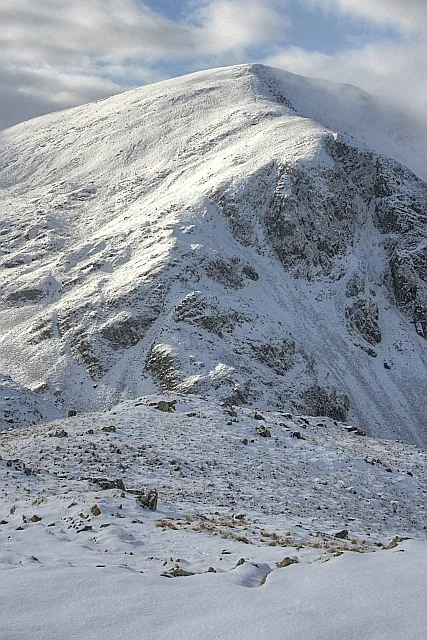
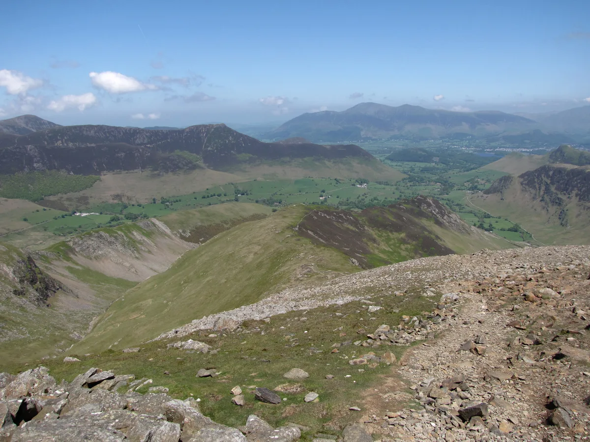
Dale Head
Dale Head — Named summit at 754 m.

Wikimedia Commons contributors — see linked file page for photographer and licence licence
Plan your visit
- Typical visit
- 3 h–8 h
- Best time of year
- Late spring – early autumn (May–Oct)
- Free entry
- Dog-friendly
About
Dale Head is a named summit in the United Kingdom. Wikidata describes it as: "Named summit at 754 m.". Coordinates: 54.5272°, -3.2024°.
Photo gallery
Protected designations
- Site of Special Scientific Interest: River Derwent and Tributaries SSSI
- Site of Special Scientific Interest: Buttermere Fells SSSI
Designations sourced from Natural England open data under OGL v3.
From the Wikipedia article
Dale Head is a fell in the north-western sector of the Lake District, in northern England. It is 753 metres (2,470 feet) above sea level and stands immediately north of Honister Pass, the road between Borrowdale and Buttermere.
Excerpt from Wikipedia under CC BY-SA 4.0. See the source article linked in Sources below.
- Coordinates
- 54.5272, -3.2024
- Address
- Cumbria, England
Sources
- osm: n3100546652 (ODbL)
- wikipedia: Dale Head (CC BY-SA 4.0)
- commons: Dale Head - geograph.org.uk - 1722827.jpg (CC BY-SA 4.0)
Other places nearby
Loading nearby places…
Nearby
 📷 3
📷 3Natural landmarks · North East England
Dale Head
Dale Head — mountain in United Kingdom.
 📷 3
📷 3Natural landmarks · North East England
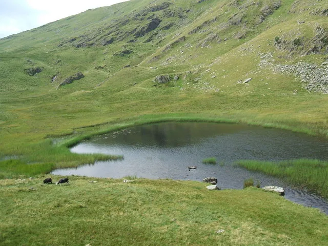
Dalehead Tarn
Dalehead Tarn — lake in United Kingdom.
 📷 3
📷 3Natural landmarks · North East England
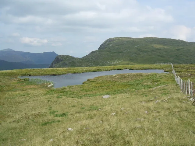
Launchy Tarn
Launchy Tarn — lake in United Kingdom.
 📷 3
📷 3Natural landmarks · North East England
High Spy
High Spy — mountain in United Kingdom.
 📷 3
📷 3Mountains & hills · North East England
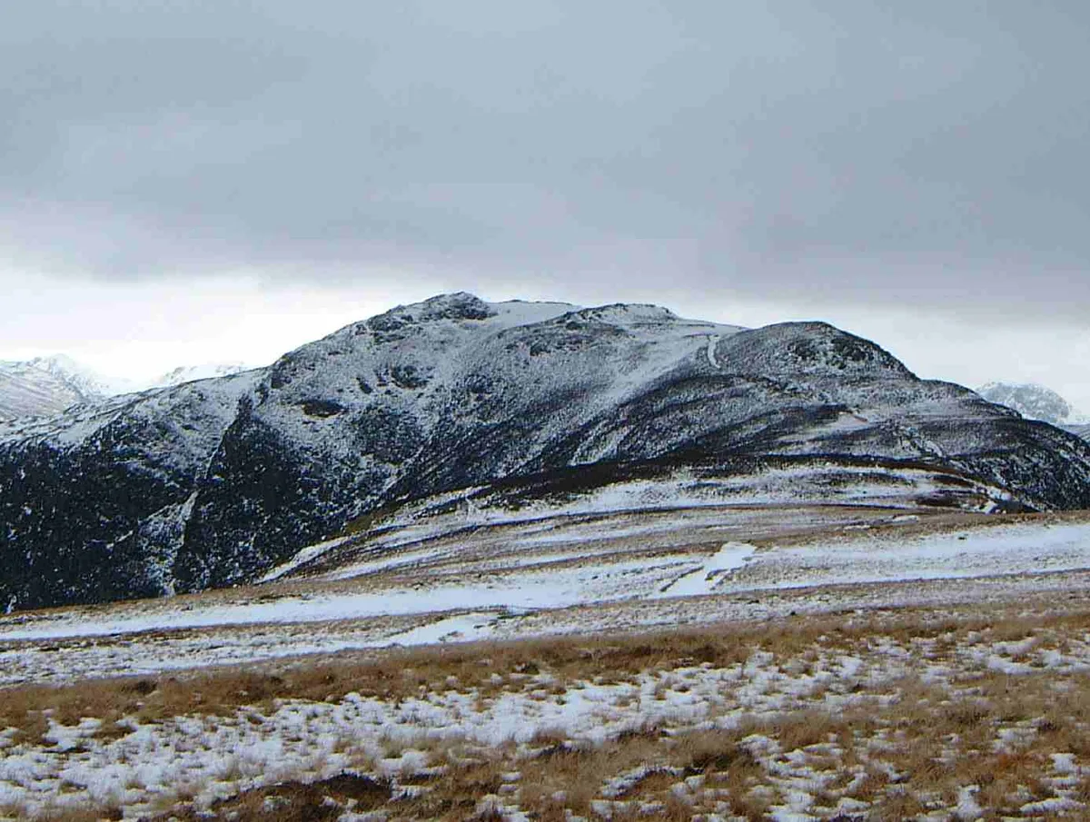
Hindscarth
Hindscarth — Named summit at 727 m.
 📷 3
📷 3Natural landmarks · North East England
Hindscarth
Hindscarth — mountain in United Kingdom.
More mountains in this region
 📷 3
📷 3Mountains & hills · North East England
Angletarn Pikes
Angletarn Pikes — Named summit at 566 m.
 📷 3
📷 3Mountains & hills · North East England
Angletarn Pikes South Top
Angletarn Pikes South Top — Named summit at 563.6 m.
 📷 3
📷 3Mountains & hills · North East England
Ard Crags
Ard Crags — Named summit at 581 m.
 📷 3
📷 3Mountains & hills · North East England
Arnison Crag
Arnison Crag — Named summit at 433 m.
Frequently asked questions
- Where is Dale Head?
- Dale Head is in North-East England, United Kingdom.
- Is Dale Head a protected site?
- Yes — Dale Head is part of the River Derwent and Tributaries SSSI Site of Special Scientific Interest and the Buttermere Fells SSSI Site of Special Scientific Interest.
- Is Dale Head free to visit?
- Yes, Dale Head is free to enter.