Mountain bike trails · Yorkshire & the Humber
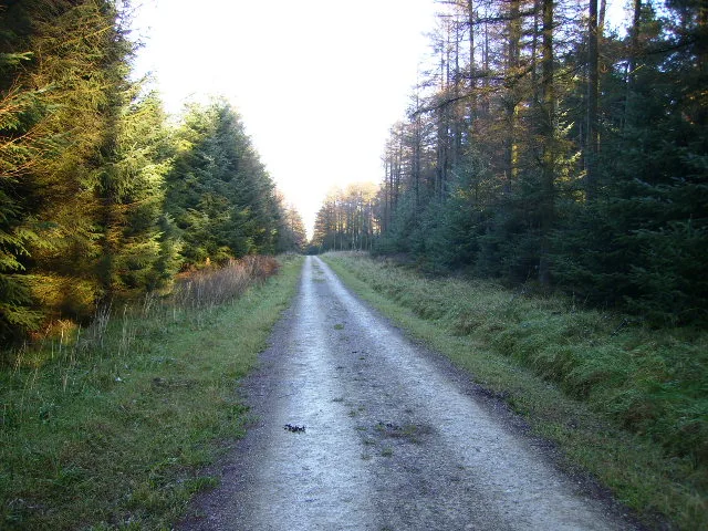
Dalby Forest Red Route
Dalby Forest Red Route — a mtb trail in england yorkshire.
Plan your visit
- Typical visit
- 1 h–2 h
About
Dalby Forest Red Route is a mtb trail located in england yorkshire, mapped by OpenStreetMap contributors. Detailed amenities and visitor information may vary; check the OSM page for the latest tagged metadata.
- Coordinates
- 54.2881, -0.6452
Sources
- osm: r331049 (ODbL)
Other places nearby
Loading nearby places…
Nearby
Mountain bike trails · Yorkshire & the Humber
Dalby Forest Green Route
Dalby Forest Green Route — a mtb trail in england yorkshire.
Mountain bike trails · Yorkshire & the Humber
Dalby Forest Back Route
Dalby Forest Back Route — a mtb trail in england yorkshire.
 📷 5
📷 5Archaeological sites · Yorkshire & the Humber
Dalby Forest
Dalby Forest — forest in North Yorkshire, England.
Campsites · Yorkshire & the Humber
Stoneclose Campsite
Stoneclose Campsite — a campsite in england yorkshire.
Mountain bike trails · Yorkshire & the Humber
Dalby Forest Blue Route
Dalby Forest Blue Route — a mtb trail in england yorkshire.
 📷 3
📷 3Archaeological sites · Yorkshire & the Humber
Dargate Dikes
Dargate Dikes — a archaeological in england-yorkshire, United Kingdom.
More places in this region
Mountain bike trails · Yorkshire & the Humber
Newton Marsh Lane
Newton Marsh Lane — a mtb trail in england yorkshire.
Mountain bike trails · Yorkshire & the Humber
Newton Marsh Lane
Newton Marsh Lane — a mtb trail in england yorkshire.
Mountain bike trails · Yorkshire & the Humber
South Sea Lane
South Sea Lane — a mtb trail in england yorkshire.
Mountain bike trails · Yorkshire & the Humber
Newton Marsh Lane
Newton Marsh Lane — a mtb trail in england yorkshire.
Frequently asked questions
- Where is Dalby Forest Red Route?
- Dalby Forest Red Route is in Yorkshire & the Humber, in the United Kingdom — coordinates 54.2881°, -0.6452°.