Towns & cities · Northern Ireland
Cushendun
Also known as: Bun Abhann Duinne
Cushendun — village in County Antrim, Northern Ireland, UK.

Wikimedia Commons contributors — see linked file page for photographer and licence licence
Plan your visit
- Typical visit
- 3 h–6 h
- Free entry
- Family-friendly
- Dog-friendly
About
Cushendun is a town, city, village or settlement in the United Kingdom. Recent population estimates put it at around 138 people. Address: BT44. Wikidata describes it as: "village in County Antrim, Northern Ireland, UK". Coordinates: 55.1253°, -6.0427°.
Photo gallery
From the Wikipedia article
Cushendun (from Irish Cois Abhann Doinne, meaning 'foot of the River Dun') is a small coastal village in County Antrim, Northern Ireland. It sits off the A2 coast road between Cushendall and Ballycastle. It has a sheltered harbour and lies at the mouth of the River Dun and Glendun, one of the nine Glens of Antrim. The Mull of Kintyre in Scotland is only about 15 miles away across the North Channel and can be seen easily on clear days. In the 2021 census it had a population of 115 people. It is part of Causeway Coast and Glens district. The hamlet of Knocknacarry is nearby.
Excerpt from Wikipedia under CC BY-SA 4.0. See the source article linked in Sources below.
Background
History
Four miles north of Cushendun is the carnanmore passage cairn. This well-preserved cairn is located on a hilltop, is 75 feet in length and is visible is for miles. The chamber has a corbelled roof and is capped with a massive stone slab. Two stones are decorated with lozenges and spirals. Cushendun is where Shane O'Neill, chief of the Tyrone O'Neill dynasty, was killed by the MacDonnells in 1567. Cushendun was designated as a conservation area in 1980, due to its architectural history and location within the Antrim Coast and Glens Area of Outstanding Natural Beauty. In the early 21st century, the caves near Cushendun were used as backdrop in the TV series Game of Thrones.
Sourced from Wikipedia under CC BY-SA 4.0.
- Coordinates
- 55.1253, -6.0427
- District
- Causeway Coast and Glens
- Postcode
- BT44
- Parliamentary constituency
- North Antrim
- Population
- 138
- Official site
- www.northantrim.com
Sources
- wikidata: Q641920 (CC0)
- wikipedia: Cushendun (CC BY-SA 4.0)
- commons: Cushendun, Co. Antrim - geograph.org.uk - 1748023.jpg (CC BY-SA 4.0)
Other places nearby
Loading nearby places…
Nearby
 📷 3
📷 3Public art & sculpture · Northern Ireland
Johann
Johann — a public art in northern-ireland, United Kingdom.
 📷 4
📷 4Natural landmarks · Northern Ireland
River Dun
River Dun in Northern Ireland, United Kingdom.
 📷 3
📷 3Natural landmarks · Northern Ireland
Caves of Cushendun
Caves of Cushendun — a other in northern-ireland, United Kingdom.
 📷 3
📷 3Natural landmarks · Northern Ireland
Agolagh
Agolagh in Northern Ireland, United Kingdom.
Caravan parks · Northern Ireland
Cushendun Caravan Park
Cushendun Caravan Park — a caravan park in northern ireland.
 📷 3
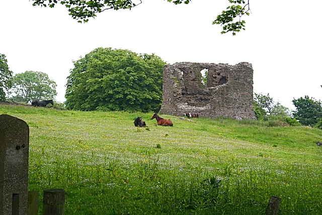
📷 3Castles · Northern Ireland
Carra Castle
Carra Castle — ruined castle in County Antrim, Northern Ireland.
More towns in this region
 Flagship📷 5
Towns & cities · Northern Ireland
Bangor
Bangor — city in Northern Ireland, United Kingdom.
 Flagship📷 5
Towns & cities · Northern Ireland
Belfast
Belfast — capital city of Northern Ireland.
 Flagship📷 3
Towns & cities · Northern Ireland
Derry
Derry — city in Northern Ireland.
 Flagship📷 5
Towns & cities · Northern Ireland
Lisburn
Lisburn — city in Northern Ireland.
Frequently asked questions
- Where is Cushendun?
- Cushendun is in Northern Ireland, United Kingdom (postcode BT44).
- Is Cushendun free to visit?
- Yes, Cushendun is free to enter.
- How do I get to Cushendun?
- Drivers can navigate to postcode BT44. It sits within the North Antrim parliamentary constituency.