Natural landmarks · Central Scotland
Culter Fell
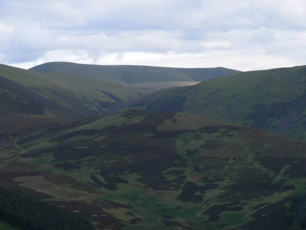
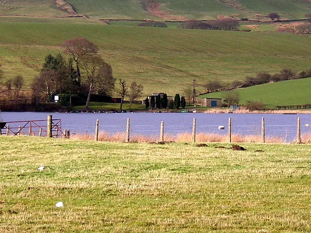
Culter Fell — 748m high mountain in Scotland.

Wikimedia Commons contributors — see linked file page for photographer and licence licence
Plan your visit
- Typical visit
- 1 h–2 h
- Free entry
- Dog-friendly
About
Culter Fell is a named natural landmark in the United Kingdom. Part of Southern Uplands. Wikidata describes it as: "748m high mountain in Scotland". Coordinates: 55.5462°, -3.5027°.
Photo gallery
From the Wikipedia article
Culter Fell is a hill in the Culter Hills range, part of the Southern Uplands of Scotland. It is the county top of the historic county of Lanarkshire, as well as the highest point in South Lanarkshire council area. It is the culmination of a network of ridges that lie south of the village of Coulter, close to the town of Biggar. It is probably most easily climbed from the north west. The best starting point is the mouth of Kings Beck, at NT 031305. Earlier OSGB topographic maps show a public road at this location, but the most recent maps show only a private road, and there are notices threatening to remove unauthorised vehicles. Cars should therefore be parked at Birthwood, 500 metres further back. It is tempting to walk up the track leading up the Kings Beck, but the direct route up the north west ridge is much easier. The slope is smooth and dry, the vegetation is short, and although there is no constructed footpath, helpful steps have been cut by the boots of previous climbers. There is an alternative starting point at Glenkirk, to the east (NT077295). From here, a circular route along a ridge including Chapelgill Hill is among several additional options. There is extensive sheep farming and sporting activity in the area, so care should be taken when accessing Culter Fell in the spring or late summer. From the summit, the view on a clear day stretches from the Cumbrian Lake District to the Scottish Highlands.
Excerpt from Wikipedia under CC BY-SA 4.0. See the source article linked in Sources below.
- Coordinates
- 55.5462, -3.5027
- Address
- South Lanarkshire, Scotland
- Official site
- www.hill-bagging.co.uk
Sources
- wikidata: Q5193156 (CC0)
- wikipedia: Culter Fell (CC BY-SA 4.0)
- commons: CulterFell.jpg (CC BY-SA 4.0)
Other places nearby
Loading nearby places…
Nearby
 📷 3
📷 3Mountains & hills · Central Scotland
Culter Fell
Culter Fell — Named summit at 747 m.
 📷 3
📷 3Mountains & hills · Central Scotland
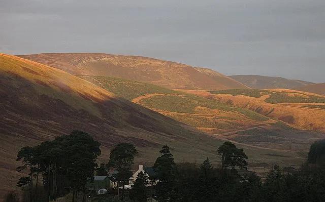
Gathersnow Hill
Gathersnow Hill — Named summit at 697 m.
Vineyards · Central Scotland
Nisbet
Nisbet — a UK vineyard in scotland central, producing English or Welsh wine from cool-climate grape varieties.
Vineyards · Central Scotland
Langloch Knowe
Langloch Knowe — a UK vineyard in scotland central, producing English or Welsh wine from cool-climate grape varieties.
Vineyards · Central Scotland
Cow Castle
Cow Castle — a UK vineyard in scotland central, producing English or Welsh wine from cool-climate grape varieties.
 📷 3
📷 3Historic houses · Central Scotland
Windgate
Windgate — a historic house in scotland-central, United Kingdom.
More natural landmarks in this region
 Flagship📷 3
Natural landmarks · Central Scotland
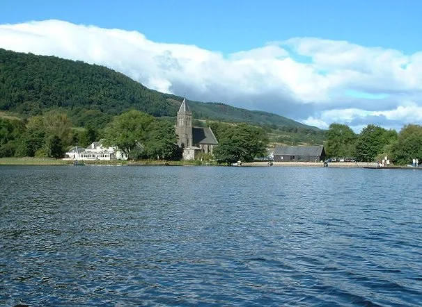
Lake of Menteith
Lake of Menteith — freshwater lake in Stirling, Scotland, UK, outflows east to Googie Water.
 📷 5
📷 5Natural landmarks · Central Scotland
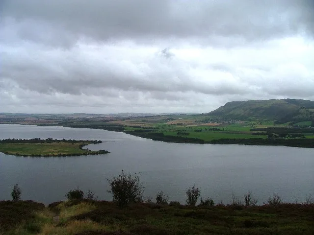
Loch Leven
Loch Leven — lake at Kinross, Perth and Kinross, Scotland, UK, outflows to River Leven.
 📷 3
📷 3Natural landmarks · Central Scotland
Antermony Loch
Antermony Loch — lake in East Dunbartonshire, Scotland, UK, outflows south via a watercourse to River Kelvin.
 📷 3
📷 3Natural landmarks · Central Scotland
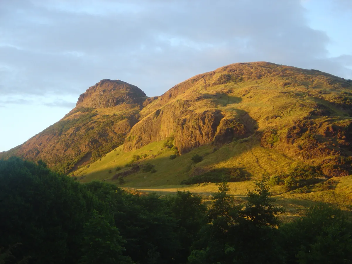
Arthur's Seat
Arthur's Seat — mountain in Edinburgh, Scotland, UK.
Frequently asked questions
- Where is Culter Fell?
- Culter Fell is in Central Scotland, in the United Kingdom — coordinates 55.5462°, -3.5027°.
- Is Culter Fell free to visit?
- Yes — admission to Culter Fell is free.