Towns & cities · West Midlands
Cropredy
Cropredy — village and civil parish in Cherwell district, Oxfordshire, England.

Wikimedia Commons contributors — see linked file page for photographer and licence licence
Plan your visit
- Typical visit
- 3 h–6 h
- Nearest railway station
- Banbury · 6.2 km
- Free entry
- Family-friendly
- Dog-friendly
About
Cropredy is a town, city, village or settlement in the United Kingdom. It covers approximately 9 km². Recent population estimates put it at around 717 people. Address: OX17. Wikidata describes it as: "village and civil parish in Cherwell district, Oxfordshire, England". Coordinates: 52.1160°, -1.3200°.
Photo gallery
From the Wikipedia article
Cropredy ( KROP-rə-dee) is a village and civil parish on the River Cherwell, 4 miles (6.4 km) north of Banbury in Oxfordshire.
Excerpt from Wikipedia under CC BY-SA 4.0. See the source article linked in Sources below.
Background
History
The village has Anglo-Saxon origins and is recorded in the Domesday Book of 1086. The toponym comes from the Old English words cropp (a hill) and ridig (a stream). From 1519 onwards Brasenose College, Oxford owned extensive land in Cropredy. Manor Farm was built in 1693 and Prescote Manor was built in 1721. Cropredy Bridge on the River Cherwell was the site of a major battle in 1644 during the English Civil War. King Charles engaged the Parliamentarian army led by Sir William Waller. The battle was a stalemate; the Parliamentarian side suffered heavy casualties but ultimately prevented the King's forces from crossing the bridge. A plaque on the bridge bears the inscription: "The site of the…
Sourced from Wikipedia under CC BY-SA 4.0.
- Coordinates
- 52.1160, -1.3200
- County
- Oxfordshire
- District
- Cherwell
- Parish
- Cropredy
- Postcode
- OX17
- Parliamentary constituency
- Banbury
- Population
- 717
- Nearest railway station
- Banbury — 6.2 km
- Official site
- www.cropredyvillage.info
Sources
- wikidata: Q609715 (CC0)
- wikipedia: Cropredy (CC BY-SA 4.0)
- commons: St Mary's Church from the southeast, Cropredy, Oxfordshire.jpg (CC BY-SA 4.0)
Other places nearby
Loading nearby places…
Nearby
Campsites · West Midlands
Old Dairy Farm Caravan and Camping
Old Dairy Farm Caravan and Camping — a campsite in england west midlands.
 Flagship📷 3
Stately homes · West Midlands
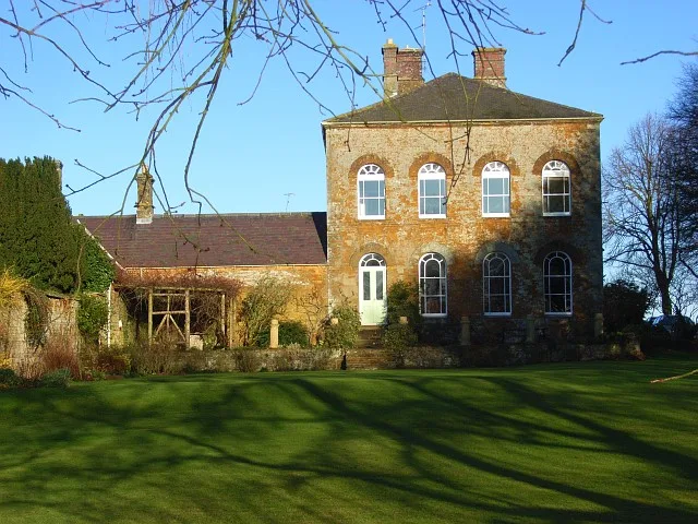
Prescote Manor
Prescote Manor — manor house in Prescote, Cherwell, Oxfordshire, England, UK.
 📷 3
📷 3Historic bridges · West Midlands
Field Bridge Number 155 Over Oxford Canal
Field Bridge Number 155 Over Oxford Canal — Grade II listed building-listed bridge in england-west-midlands, United Kingdom.
 📷 3
📷 3Historic bridges · West Midlands
Road Bridge Number 150 Over Oxford Canal
Road Bridge Number 150 Over Oxford Canal — Grade II listed building-listed bridge in england-west-midlands, United Kingdom.
 📷 3
📷 3Historic bridges · West Midlands
Field Bridge Number 149 Over Oxford Canal
Field Bridge Number 149 Over Oxford Canal — Grade II listed building-listed bridge in england-west-midlands, United Kingdom.
 📷 3
📷 3Historic bridges · West Midlands
Field Bridge Number 156 Over Oxford Canal
Field Bridge Number 156 Over Oxford Canal — Grade II listed building-listed bridge in england-west-midlands, United Kingdom.
More towns in this region
 Flagship📷 3
Towns & cities · West Midlands
Adderbury
Adderbury — village and civil parish in Cherwell district, Oxfordshire, England.
 Flagship📷 3
Towns & cities · West Midlands
Admington
Admington — village in Warwickshire, England, UK.
 Flagship📷 3
Towns & cities · West Midlands
Aldington
Aldington — village in Worcestershire, United Kingdom.
 Flagship📷 5
Towns & cities · West Midlands
Anstey
Anstey — large village in Leicestershire, England.
Frequently asked questions
- Where is Cropredy?
- Cropredy is in Oxfordshire, the West Midlands, United Kingdom (postcode OX17), in the parish of Cropredy.
- Is Cropredy free to visit?
- Yes, Cropredy is free to enter.
- How do I get to Cropredy?
- The nearest railway station is Banbury, about 6.2 km away. Drivers can navigate to postcode OX17.