Canals · Scottish Highlands
Crinan Canal
Also known as: Sligh'-uisge a' Chrìonain
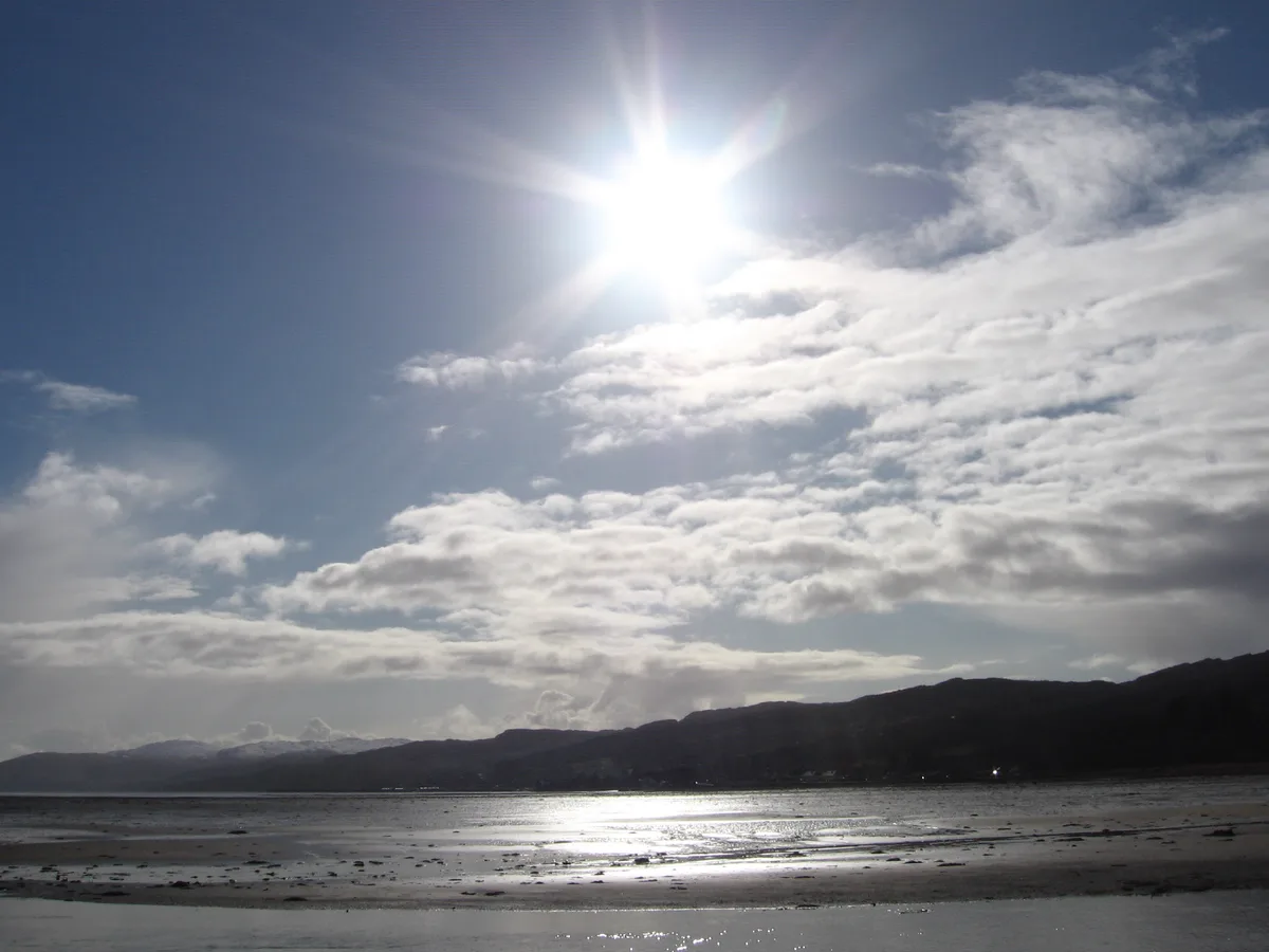
Crinan Canal — canal in Argyll and Bute, Scotland, UK.

Wikimedia Commons contributors — see linked file page for photographer and licence licence
Plan your visit
- Typical visit
- 1 h–2 h
- Free entry
- Dog-friendly
About
Crinan Canal is a canal in the United Kingdom. Wikidata describes it as: "canal in Argyll and Bute, Scotland, UK". Coordinates: 56.0000°, -5.4333°.
Photo gallery
From the Wikipedia article
The Crinan Canal is a nine-mile-long (14 km) navigable canal in Argyll and Bute, west of Scotland. It opened in 1801 and connects the village of Ardrishaig on Loch Gilp with Crinan on the Sound of Jura, providing a navigable route between the Firth of Clyde and the Inner Hebrides, without the need for a long diversion around the Kintyre Peninsula, and in particular the exposed Mull of Kintyre. Today the canal is operated by Scottish Canals and is a popular route for leisure craft, used by nearly 2,000 boats annually. The towpath is part of National Cycle Route 78. The canal is a two-part scheduled monument. Loch a' Bharain, which serves as a feeder reservoir for the canal, is also a scheduled monument.
Excerpt from Wikipedia under CC BY-SA 4.0. See the source article linked in Sources below.
Background
History
| repeal_date = | amendments = Crinan Canal Act 1799 | repealing_legislation = | related_legislation = | status = Amended | original_text = https://books.google.co.uk/books?id=XwbC08mcZ-4C&pg=PA363 | collapsed = yes }} The canal was built to provide a shortcut for commercial sailing and fishing vessels and later Clyde puffers to travel between the industrialised region around Glasgow to the West Highland villages and islands. Authorised by the (33 Geo. 3. c. 104), it was designed by civil engineer John Rennie and work started in 1794, but was not completed until 1801, two years later than planned. The canal's construction was beset with problems including finance and poor weather.…
Description
The Crinan Canal has 15 locks and is crossed by seven bridges: six swing bridges and a retractable bridge. Stone for the 15 locks was brought from Mull, the Isle of Arran and Morvern. From Ardrishaig, three locks raise the canal's 4 mi east reach to 32 ft above sea level. The 1100 yd summit reach, between Cairnbaan and Dunardry, is 64 ft above sea level. The west reach between Dunardry and Crinan is 18 ft above sea level. The canal is deep, although the declared maximum draught for a vessel is 2.5 m, and power lines which cross the canal restrict the height limit to 30 m. The retractable bridge at Lock 11 replaced the original swing bridge in 1900. It is operated by a rotating handle and a…
Sourced from Wikipedia under CC BY-SA 4.0.
- Coordinates
- 56.0000, -5.4333
- District
- Argyll and Bute
- Postcode
- PA30 8ER
- Parliamentary constituency
- Argyll, Bute and South Lochaber
- Established
- 1801
Sources
- wikidata: Q752064 (CC0)
- wikipedia: Crinan Canal (CC BY-SA 4.0)
- commons: Cairnbaan, Crinan Canal - geograph.org.uk - 916000.jpg (CC BY-SA 4.0)
Other places nearby
Loading nearby places…
Nearby
 📷 5
📷 5Mountains & hills · Scottish Highlands
Loch Gilp
Loch Gilp — bay on the west coast of Loch Fyne, Argyll and Bute, Scotland, UK.
 📷 5
📷 5Piers · Scottish Highlands
Pier, Ardrishaig Harbour
Pier, Ardrishaig Harbour — category B listed building-listed pier in scotland-highlands, United Kingdom.
📷 3Public art & sculpture · Scottish Highlands
The Kelpies miniature
The Kelpies miniature — a public art in scotland-highlands, United Kingdom.
 📷 3
📷 3Memorials & monuments · Scottish Highlands
Ardrishaig War Memorial
Ardrishaig War Memorial — a memorial in scotland-highlands, United Kingdom.
📷 3Museums · Scottish Highlands
The Egg Shed
The Egg Shed — a museum in scotland-highlands, United Kingdom.
 📷 3
📷 3Memorials & monuments · Scottish Highlands
John Smith Memorial
John Smith Memorial — a memorial in scotland-highlands, United Kingdom.
More places in this region
 📷 3
📷 3Canals · Scottish Highlands
Aberdeenshire Canal
Aberdeenshire Canal — canal in Aberdeenshire, Scotland, UK.
 📷 3
📷 3Canals · Scottish Highlands
Aberdeenshire Canal, remains of, NW of Brae of Kintore
Aberdeenshire Canal, remains of, NW of Brae of Kintore — architectural structure in Aberdeenshire, Scotland, UK.
 📷 5
📷 5Canals · Scottish Highlands
Caledonian Canal
Caledonian Canal — canal in Scotland, UK.
 📷 3
📷 3Canals · Scottish Highlands
Dingwall Canal
Dingwall Canal — canal in Highland, Scotland, UK.
Frequently asked questions
- Where is Crinan Canal?
- Crinan Canal is in the Scottish Highlands, United Kingdom (postcode PA30 8ER).
- When was Crinan Canal built?
- Built or established in 1801.
- Is Crinan Canal free to visit?
- Yes, Crinan Canal is free to enter.
- How do I get to Crinan Canal?
- Drivers can navigate to postcode PA30 8ER. It sits within the Argyll, Bute and South Lochaber parliamentary constituency.