Museums · South West England
Cremyll
Cremyll (pronounced ) is a small coastal village in the civil parish of Maker-with-Rame, in south-east Cornwall, England, United Kingdom. Cremyll is on the Rame Peninsula facing Plymouth Sound. The vi

Derek Harper — CC BY-SA 2.0 via Wikimedia Commons licence
Plan your visit
- Typical visit
- 1.5 h–3 h
- Best time of year
- Year-round
- Family-friendly
- Limited wheelchair access
About
Cremyll (pronounced ) is a small coastal village in the civil parish of Maker-with-Rame, in south-east Cornwall, England, United Kingdom. Cremyll is on the Rame Peninsula facing Plymouth Sound. The village is about 9 miles by road or 0.5 miles by boat from Plymouth.
Photo gallery
From the Wikipedia article
Cremyll (pronounced ) is a small coastal village in the civil parish of Maker-with-Rame, in south-east Cornwall, England, United Kingdom. Cremyll is on the Rame Peninsula facing Plymouth Sound. The village is about 9 miles by road or 0.5 miles by boat from Plymouth.
Excerpt from Wikipedia under CC BY-SA 4.0. See the source article linked in Sources below.
Background
History
There has been a ferry at Cremyll since the 11th century and it was a link in the main southern route into Cornwall until the 1830s. In medieval times the ferry was part of the manor of Stone-House, held by the Valletorts. There was a larger community called West Stonehouse (compare with East Stonehouse) until it was burnt by the French in 1350. Land on the Rame Peninsula was the earliest to be granted to an Anglo-Saxon Landholder as King Geraint of Dumnonia granted land at 'Magor' or Maker to the Abbey of Sherborne. However the area likely remained in Cornish control after Athelstan set the modern border at the Tamar in the 10th Century. An area of the Rame Peninsula, (up to Kingsand)…
Sourced from Wikipedia under CC BY-SA 4.0.
- Coordinates
- 50.3605, -4.1758
- District
- Cornwall
- Parish
- Maker-with-Rame
- Postcode
- PL10 1HX
- Parliamentary constituency
- South East Cornwall
Sources
- wikipedia: Cremyll (CC BY-SA 4.0)
Other places nearby
Loading nearby places…
Nearby
Cafés · South West England
The Orangery
The Orangery — a café in england south west.
 📷 5
📷 5Forts · South West England
Obelisk In The Admiralty Playing Fields
Obelisk In The Admiralty Playing Fields — a martello broad in england-south-west, United Kingdom.
 📷 5
📷 5Forts · South West England
Block House
Block House is a fort in the United Kingdom.
 📷 3
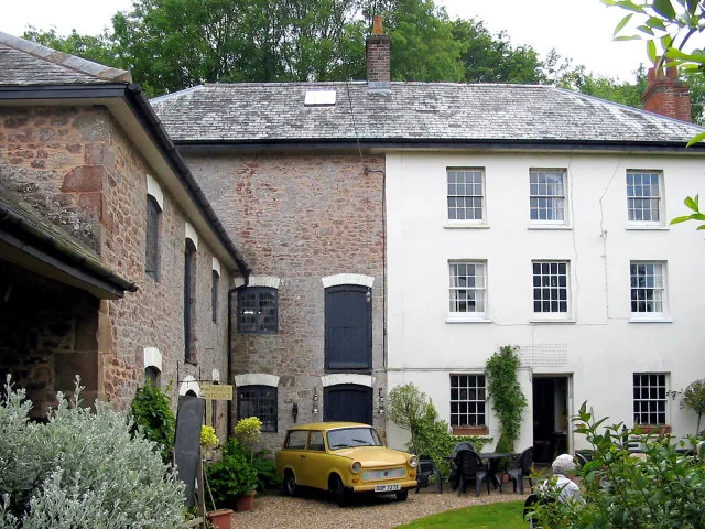
📷 3Museums · South West England
Mt Edgcumbe Railway & Model Society
Mt Edgcumbe Railway & Model Society — a museum in england-south-west, United Kingdom.
 📷 5
📷 5Follies · South West England
Mount Edgcumbe House Archway
Mount Edgcumbe House Archway — Folly or eyecatcher.
 📷 3
📷 3Historic bridges · South West England
Drive Bridge And Ice House, West Of Mount Edgcumbe Park
Drive Bridge And Ice House, West Of Mount Edgcumbe Park — Grade II listed building-listed bridge in england-south-west, United Kingdom.
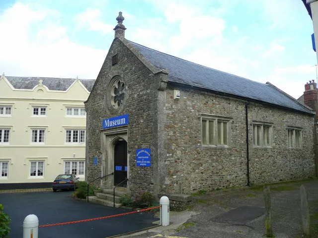
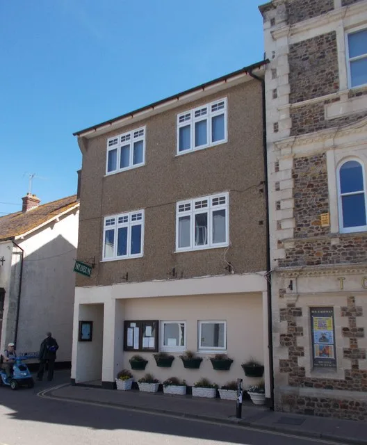
More museums in this region
 📷 5
📷 5Museums · South West England
Allhallows Museum
Allhallows Museum — museum in Honiton, Devon, England, United Kingdom.
 📷 5
📷 5Museums · South West England
Axe Valley Heritage Museum
Axe Valley Heritage Museum — museum in Seaton, England, UK.
 📷 5
📷 5Museums · South West England
Bakelite Museum
Bakelite Museum is a museum in the United Kingdom.
 📷 5
📷 5Museums · South West England
Barometer World
Barometer World — former museum in Devon, England.
Frequently asked questions
- Where is Cremyll?
- Cremyll is in South West England, in the United Kingdom — coordinates 50.3605°, -4.1758°.
- Is Cremyll wheelchair accessible?
- Partially — OpenStreetMap notes limited wheelchair access at Cremyll. Check ahead for specific facilities.