Towns & cities · Mid Wales
Credenhill
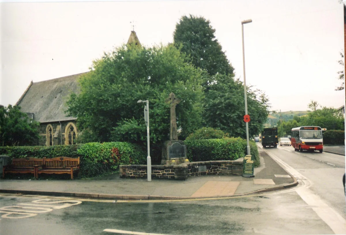
Credenhill — village in Herefordshire, England, UK.
.jpg?width=1200)
Wikimedia Commons contributors — see linked file page for photographer and licence licence
.jpg)
Plan your visit
- Typical visit
- 3 h–6 h
- Nearest railway station
- Broomy Hill · 6.3 km
- Free entry
- Family-friendly
- Dog-friendly
About
Credenhill is a town, city, village or settlement in the United Kingdom. Recent population estimates put it at around 2,271 people. Wikidata describes it as: "village in Herefordshire, England, UK". Coordinates: 52.0889°, -2.8012°.
Photo gallery
Protected designations
- Site of Special Scientific Interest: River Lugg SSSI
- Site of Special Scientific Interest: River Wye SSSI
Designations sourced from Natural England open data under OGL v3.
From the Wikipedia article
Credenhill is a village and civil parish in Herefordshire, England. The population of this civil parish taken at the 2011 Census was 2,271.
Excerpt from Wikipedia under CC BY-SA 4.0. See the source article linked in Sources below.
Background
History
Credenhill village has had military connections since 80 BC, when Iron Age Celts constructed a hill fort and earthwork defence system commanding the surrounding area. The Romans founded the town of Magnis at what is now Kenchester, which was later abandoned during the withdrawal of Roman armies from Britain. In 428 AD Magnis was destroyed by a fire during raids by the Picts and Scots. The remains of the old fort was occupied by the Saxons in 480 AD. The Saxon chief Creoda occupied the fort in 540 AD, and "Creoda's Hill" gave its name to Credenhill. During the First World War, land in Credenhill was occupied by an army unit to store ammunition. In 1939 the land was requisitioned for defence…
Sourced from Wikipedia under CC BY-SA 4.0.
- Coordinates
- 52.0889, -2.8012
- District
- Herefordshire, County of
- Parish
- Credenhill
- Postcode
- HR4 7DJ
- Parliamentary constituency
- North Herefordshire
- Population
- 2,271
- Nearest railway station
- Broomy Hill — 6.3 km
Sources
- wikidata: Q372195 (CC0)
- wikipedia: Credenhill (CC BY-SA 4.0)
- commons: St Mary, Credenhill (geograph 5920266).jpg (CC BY-SA 4.0)
Other places nearby
Loading nearby places…
Nearby
 📷 3
📷 3Memorials & monuments · Mid Wales
Credenhill War Memorial
Credenhill War Memorial — Grade II listed building-listed memorial in wales-mid, United Kingdom.
 📷 3
📷 3Memorials & monuments · Mid Wales
SAS Memorial Clocktower
SAS Memorial Clocktower — a memorial in wales-mid, United Kingdom.
Vineyards · Mid Wales
Credenhill Camp
Credenhill Camp — a UK vineyard in wales mid, producing English or Welsh wine from cool-climate grape varieties.
 📷 3
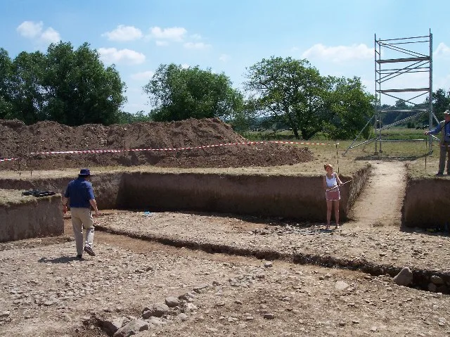
📷 3Archaeological sites · Mid Wales
Credenhill Camp
Credenhill Camp — a archaeological in wales-mid, United Kingdom.
 📷 3
📷 3Archaeological sites · Mid Wales
Magnis
Magnis — a archaeological in wales-mid, United Kingdom.
 📷 3
📷 3Hill forts · Mid Wales
Magnae Dobunnorum
Magnae Dobunnorum — Romano-British town and archaeological site.
More towns in this region
 📷 4
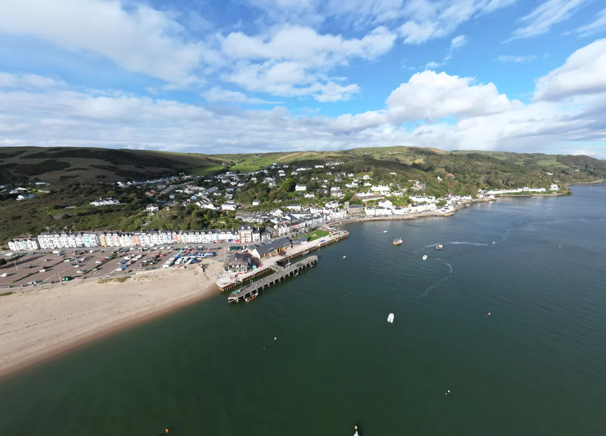
📷 4Towns & cities · Mid Wales
Aberdyfi
Aberdyfi — village and community in Gwynedd, Wales.
 Flagship📷 3
Towns & cities · Mid Wales
Aberporth
Aberporth — village and community in Ceredigion, Wales, UK.
 📷 4
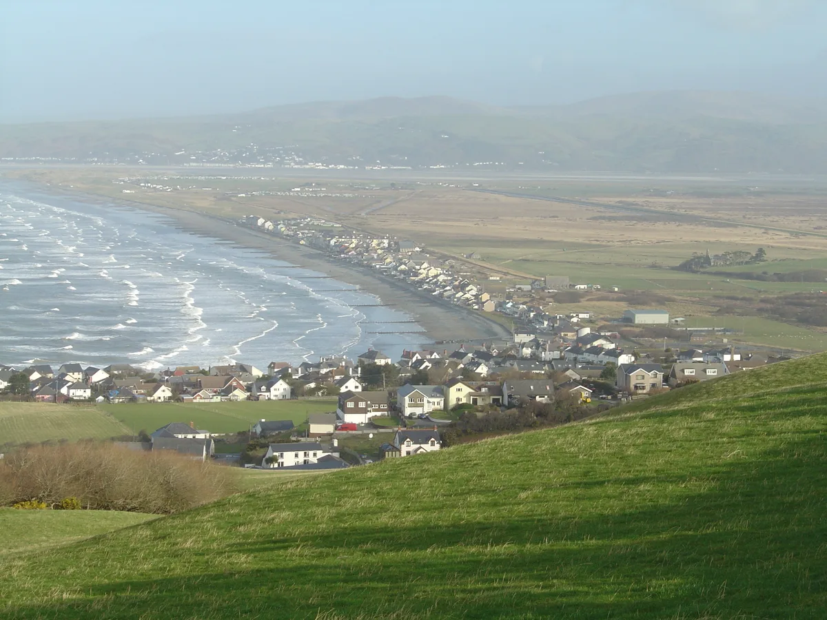
📷 4Towns & cities · Mid Wales
Borth
Borth — village and community in Ceredigion, Wales, UK.
 Flagship📷 5
Towns & cities · Mid Wales
Caersws
Caersws — village and community in Powys, Wales.
Frequently asked questions
- Where is Credenhill?
- Credenhill is in Mid Wales, United Kingdom (postcode HR4 7DJ), in the parish of Credenhill.
- Is Credenhill a protected site?
- Yes — Credenhill is part of the River Lugg SSSI Site of Special Scientific Interest and the River Wye SSSI Site of Special Scientific Interest.
- Is Credenhill free to visit?
- Yes, Credenhill is free to enter.
- How do I get to Credenhill?
- The nearest railway station is Broomy Hill, about 6.3 km away. Drivers can navigate to postcode HR4 7DJ.