Viewpoints · South East England
Cow Gap
Cow Gap is a viewpoint in the United Kingdom.

PAUL FARMER — CC BY-SA 2.0 via Wikimedia Commons licence
Plan your visit
- Typical visit
- 20 min–45 min
- Best time of year
- Clear days year-round
- Nearest railway station
- Eastbourne · 3.6 km
- Free entry
- Dog-friendly
About
Cow Gap is a named viewpoint in East Sussex, South-East England, marked on Ordnance Survey maps for its outlook. The site is part of the SEVEN SISTERS National Nature Reserve. It sits within the Eastbourne parliamentary constituency. The nearest railway station is Eastbourne, about 3.6 km away. Postcode area BN20.
Photo gallery
Protected designations
- Site of Special Scientific Interest: Seaford to Beachy Head SSSI
- National Nature Reserve: SEVEN SISTERS
Designations sourced from Natural England open data under OGL v3.
Place summary
Cow Gap is a viewpoint located in East Sussex, South-East England, within the unparished area of Eastbourne. It is part of the Seaford to Beachy Head Site of Special Scientific Interest (SSSI) and is also designated as a National Nature Reserve (NNR) within the Seven Sisters area.
AI-generated from the structured facts on this page (operator, designation, listing, era). Not a substitute for visiting.
- Coordinates
- 50.7399, 0.2610
- County
- East Sussex
- District
- Eastbourne
- Parish
- Eastbourne, unparished area
- Postcode
- BN20 7YA
- Parliamentary constituency
- Eastbourne
- Nearest railway station
- Eastbourne — 3.6 km
Sources
- osm: n2880698586 (ODbL)
Other places nearby
Loading nearby places…
Nearby
 📷 5
📷 5Memorials & monuments · South East England
Bomber Command Tribute Memorial Beachy Head
Bomber Command Tribute Memorial Beachy Head — War memorial, dating to 2012-07-08.
 📷 5
📷 5Museums · South East England
The Beachy Head Story
The Beachy Head Story — a museum in england-south-east, United Kingdom.
 ★ Iconic📷 10
Natural landmarks · South East England
Beachy Head
Britain's highest sea cliff (162 m) on the Sussex coast.
 📷 5
📷 5Lighthouses · South East England
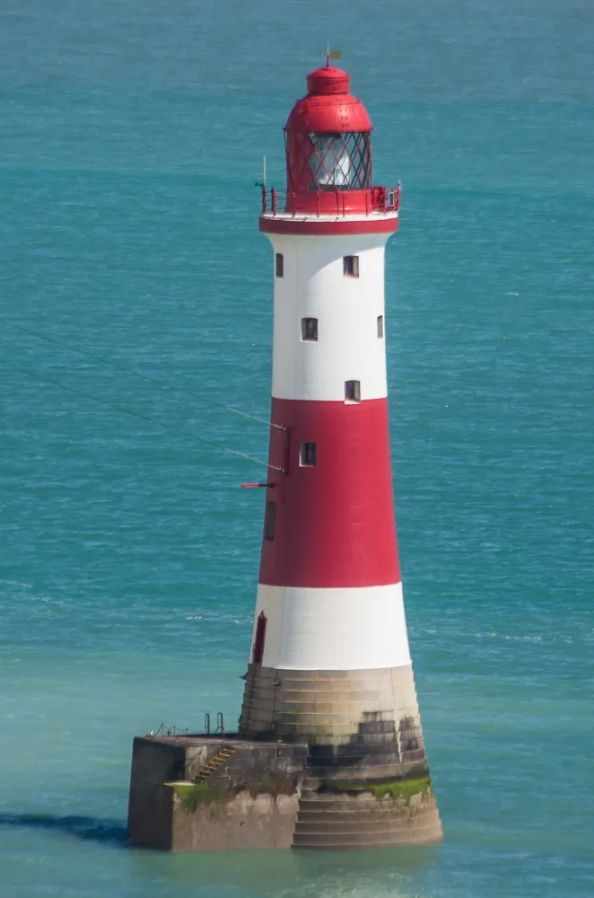
Beachy Head Lighthouse
Beachy Head Lighthouse — lighthouse at Eastbourne, East Sussex, England, UK.
 📷 5
📷 5Historic houses · South East England
Roedean Moira House
Roedean Moira House — a school heritage in england-south-east, United Kingdom.
Mountain bike trails · South East England
Alternative, Old South Downs Way Bridleway Route
Alternative, Old South Downs Way Bridleway Route — a mtb trail in england south east.
More viewpoints in this region
 📷 5
📷 5Viewpoints · South East England
A
A is a viewpoint in the United Kingdom.
 📷 5
📷 5Viewpoints · South East England
Acres Down South
Acres Down South is a viewpoint in the United Kingdom.
 📷 5
📷 5Viewpoints · South East England
airplane take off viewing point
airplane take off viewing point is a viewpoint in the United Kingdom.
 📷 5
📷 5Viewpoints · South East England
Ancient Oak Tree
Ancient Oak Tree is a viewpoint in the United Kingdom.
Frequently asked questions
- Where is Cow Gap?
- Cow Gap is in East Sussex, South-East England, United Kingdom (postcode BN20 7YA), in the parish of Eastbourne, unparished area.
- Is Cow Gap a protected site?
- Yes — Cow Gap is part of the Seaford to Beachy Head SSSI Site of Special Scientific Interest and the SEVEN SISTERS National Nature Reserve.
- Is Cow Gap free to visit?
- Yes, Cow Gap is free to enter.
- How do I get to Cow Gap?
- The nearest railway station is Eastbourne, about 3.6 km away. Drivers can navigate to postcode BN20 7YA.