Museums · East Midlands
Cottesmore, Rutland
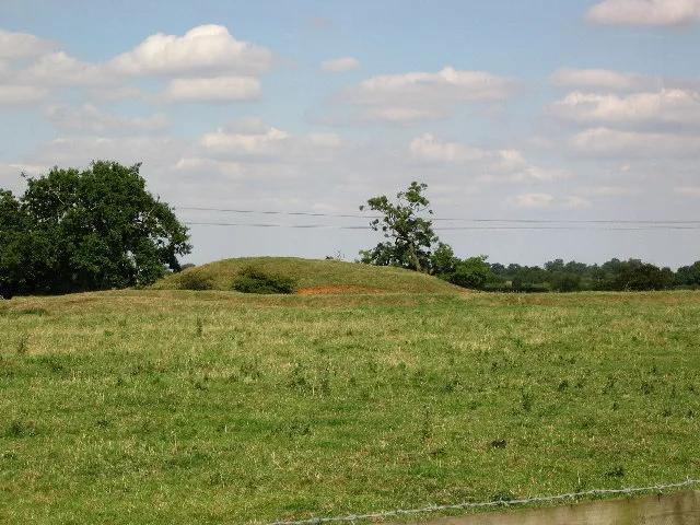
Cottesmore (often pronounced Cotts'more) is a village and civil parish in the north of the county of Rutland in the East Midlands of England. In terms of population it is the largest village in Rutlan

David Hillas — CC BY-SA 2.0 via Wikimedia Commons licence
Plan your visit
- Typical visit
- 1.5 h–3 h
- Best time of year
- Year-round
- Family-friendly
- Limited wheelchair access
About
Cottesmore (often pronounced Cotts'more) is a village and civil parish in the north of the county of Rutland in the East Midlands of England. In terms of population it is the largest village in Rutland, and the third-largest settlement after Oakham and Uppingham. This is due in part to the presence of Kendrew Barracks (formerly RAF Cottesmore). The village's name means 'moor of Cott'.
Photo gallery
From the Wikipedia article
Cottesmore (often pronounced Cotts'more) is a village and civil parish in the north of the county of Rutland in the East Midlands of England. In terms of population it is the largest village in Rutland, and the third-largest settlement after Oakham and Uppingham. This is due in part to the presence of Kendrew Barracks (formerly RAF Cottesmore). The village's name means 'moor of Cott'.
Excerpt from Wikipedia under CC BY-SA 4.0. See the source article linked in Sources below.
Background
History
At the time of Edward the Confessor (mid 11th century), "Manors Cottesmore" was held, together with Greetham, by Saxon called Goda. Goda held 12 carucates of land, three of which were held in tax to the Danegeld. The King held three carucates in demesne and three socmen with 40 villeins and six bordarii held 20 carucates. Of the land held by the manor, one Goisfridus held half a carucate; he had one plough and eight villeins. Cottesmore also had 40 acre of meadow and a wood measuring a mile in length by seven furlongs in breadth. St Nicholas' Church, Cottesmore is a Grade II* listed building. The north aisle forms a RAF chapel, dedicated in 1949 to those who gave their lives while serving…
Sourced from Wikipedia under CC BY-SA 4.0.
- Coordinates
- 52.7100, -0.6600
- District
- Rutland
- Parish
- Cottesmore
- Postcode
- LE15 7DA
- Parliamentary constituency
- Rutland and Stamford
- Official site
- www.cottesmoreparishcouncil.org.uk
Sources
- wikipedia: Cottesmore, Rutland (CC BY-SA 4.0)
Other places nearby
Loading nearby places…
Nearby
 📷 3
📷 3Public art & sculpture · East Midlands
Cottesmore Village Sign
Cottesmore Village Sign — a public art in england-east-midlands, United Kingdom.
📷 3Memorials & monuments · East Midlands
Cottesmore War Memorial at Churchyard of St Nicholas
Cottesmore War Memorial at Churchyard of St Nicholas — Grade II listed building-listed memorial in england-east-midlands, United Kingdom.
 📷 5
📷 5Historic churches · East Midlands
St Nicholas' Church, Cottesmore
St Nicholas' Church, Cottesmore — a church in england-east-midlands, United Kingdom.
 📷 3
📷 3Castles · West Midlands
Burley Castle
Burley Castle — possible castle in the county of Rutland, England.
 📷 5
📷 5Museums · East Midlands
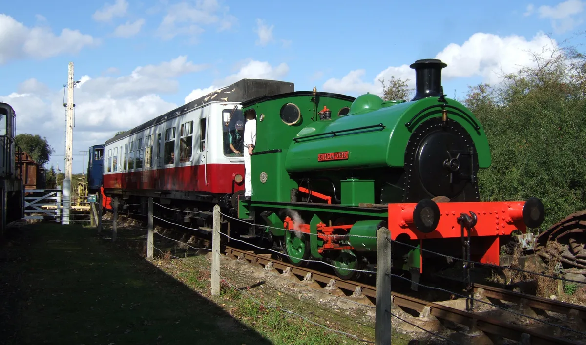
Rocks by Rail
Rocks by Rail — railway museum in Oakham, Rutland.
 📷 3
📷 3Museums · East Midlands
Workshop
Workshop — a museum in england-east-midlands, United Kingdom.
More museums in this region
 📷 3
📷 3Museums · East Midlands
6 Former Filter Beds, Water Tank With Gazebo, And Steps At Swithland Reservoir Water Works
6 Former Filter Beds, Water Tank With Gazebo, And Steps At Swithland Reservoir Water Works — architectural ensemble in Quorndon, Charnwood, Leicestershire, England, UK.
 📷 3
📷 3Museums · East Midlands
Abbeydale Industrial Hamlet
Abbeydale Industrial Hamlet — hamlet and industrial museum in Sheffield, UK.
 📷 3
📷 3Museums · East Midlands
Alstonefield Geohut
Alstonefield Geohut — museum in Alstonefield, Staffordshire, England, UK.
 📷 3
📷 3Museums · East Midlands
Ashby de la Zouch Museum
Ashby de la Zouch Museum — local museum in Ashby de la Zouch, Leicestershire, United Kingdom.
Frequently asked questions
- Where is Cottesmore, Rutland?
- Cottesmore, Rutland is in East Midlands, in the United Kingdom — coordinates 52.7100°, -0.6600°.
- Is Cottesmore, Rutland wheelchair accessible?
- Partially — OpenStreetMap notes limited wheelchair access at Cottesmore, Rutland. Check ahead for specific facilities.