Museums · West Midlands
Cotswold District
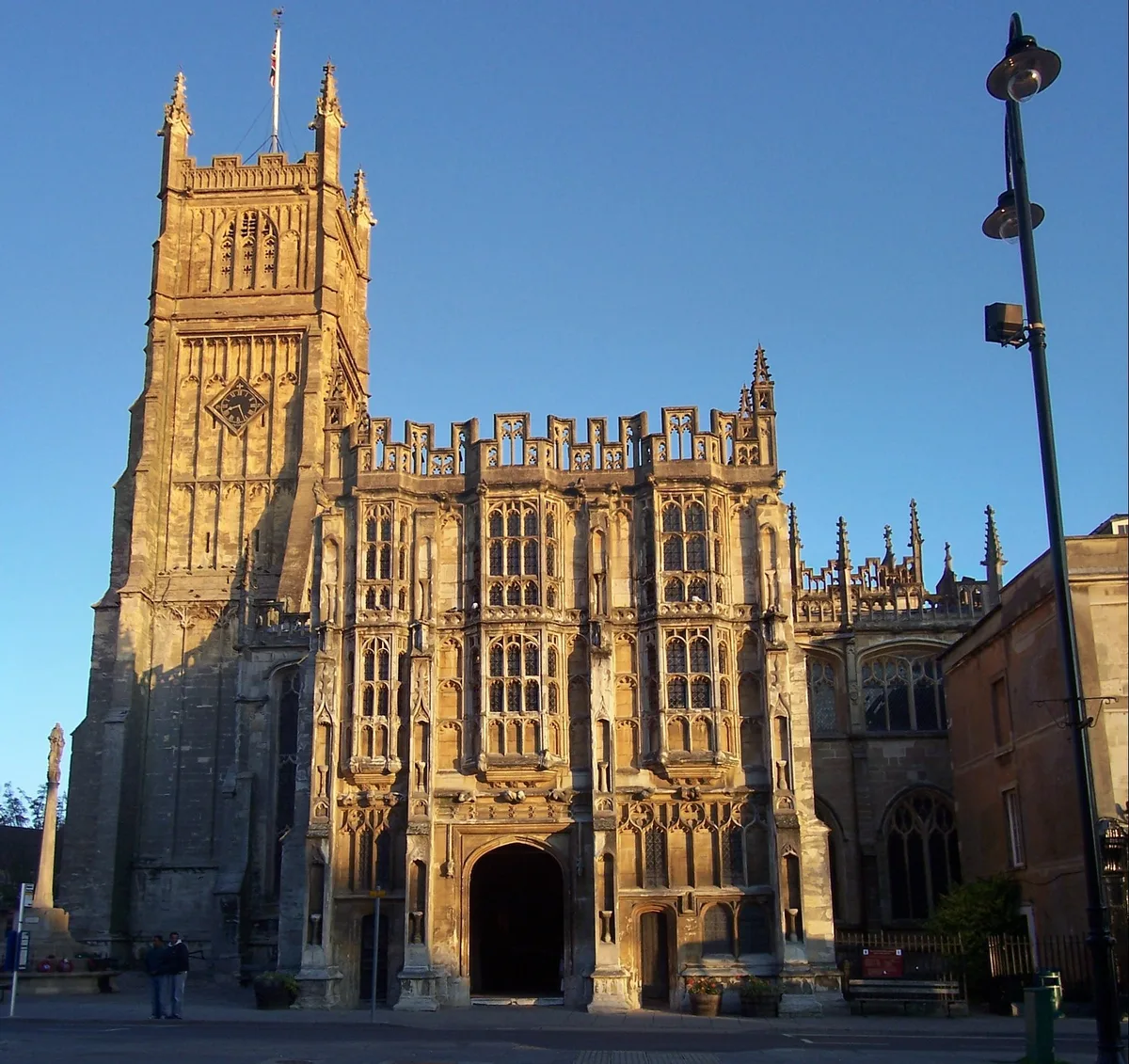
Cotswold is a local government district in Gloucestershire, England. It is named after the wider Cotswolds region and range of hills. The council is based in the district's largest town of Cirencester

Christine Matthews — CC BY-SA 2.0 via Wikimedia Commons licence
Plan your visit
- Typical visit
- 1.5 h–3 h
- Best time of year
- Year-round
- Family-friendly
- Limited wheelchair access
About
Cotswold is a local government district in Gloucestershire, England. It is named after the wider Cotswolds region and range of hills. The council is based in the district's largest town of Cirencester. The district also includes the towns of Chipping Campden, Fairford, Lechlade, Moreton-in-Marsh, Northleach, Stow-on-the-Wold and Tetbury, along with numerous villages and surrounding rural areas. In 2021 the district had a population of 91,125. The district covers nearly 450 square miles (1,200 km2), with some 80% of the land located within the Cotswolds Area of Outstanding Natural Beauty. The much larger area referred to as the Cotswolds encompasses nearly 800 square miles, spanning five counties: Gloucestershire, Oxfordshire, Warwickshire, Wiltshire, and Worcestershire. This large Area of Outstanding Natural Beauty had a population of 139,000 in 2016. Eighty per cent of the district lies within the River Thames catchment area, with the Thames itself and several tributaries including the River Windrush and River Leach running through the district. Lechlade is an important point on the river as the upstream limit of navigation. In the 2007 floods in the UK, rivers were the source of flooding of 53 per cent of the locations affected and the Thames at Lechlade reached record levels with over 100 reports of flooding. The neighbouring districts are South Gloucestershire, Stroud, Tewkesbury, Cheltenham, Wychavon, Stratford-on-Avon, West Oxfordshire, Vale of White Horse, Swindon and
Photo gallery
From the Wikipedia article
Cotswold is a local government district in Gloucestershire, England. It is named after the wider Cotswolds region and range of hills. The council is based in the district's largest town of Cirencester. The district also includes the towns of Chipping Campden, Fairford, Lechlade, Moreton-in-Marsh, Northleach, Stow-on-the-Wold and Tetbury, along with numerous villages and surrounding rural areas. In 2021 the district had a population of 91,125. The district covers nearly 450 square miles (1,200 km2), with some 80% of the land located within the Cotswolds Area of Outstanding Natural Beauty. The much larger area referred to as the Cotswolds encompasses nearly 800 square miles, spanning five counties: Gloucestershire, Oxfordshire, Warwickshire, Wiltshire, and Worcestershire. This large Area of Outstanding Natural Beauty had a population of 139,000 in 2016. Eighty per cent of the district lies within the River Thames catchment area, with the Thames itself and several tributaries including the River Windrush and River Leach running through the district. Lechlade is an important point on the river as the upstream limit of navigation. In the 2007 floods in the UK, rivers were the source of flooding of 53 per cent of the locations affected and the Thames at Lechlade reached record levels with over 100 reports of flooding. The neighbouring districts are South Gloucestershire, Stroud, Tewkesbury, Cheltenham, Wychavon, Stratford-on-Avon, West Oxfordshire, Vale of White Horse, Swindon and Wiltshire.
Excerpt from Wikipedia under CC BY-SA 4.0. See the source article linked in Sources below.
Background
History
The district was formed on 1 April 1974 under the Local Government Act 1972. The new district covered the area of five former districts, which were all abolished at the same time: The new district was named Cotswold, reflecting its central position within the hills and wider region of that name.
Sourced from Wikipedia under CC BY-SA 4.0.
- Coordinates
- 51.7190, -1.9680
- County
- Gloucestershire
- District
- Cotswold
- Parish
- Cirencester
- Postcode
- GL7 2DA
- Parliamentary constituency
- South Cotswolds
- Official site
- cirencester.gov.uk
Sources
- wikipedia: Cotswold District (CC BY-SA 4.0)
Other places nearby
Loading nearby places…
Nearby
 📷 3
📷 3Public art & sculpture · West Midlands
The Abbot and Canon Statue
The Abbot and Canon Statue — a public art in england-west-midlands, United Kingdom.
📷 3Abbeys & priories · West Midlands
St Mary's Abbey
St Mary's Abbey — a abbey in england-west-midlands, United Kingdom.
 Flagship📷 5
Cathedrals · South East England
Cirencester Abbey
Cirencester Abbey is a cathedral in the United Kingdom.
 📷 3
📷 3Abbeys & priories · West Midlands
Cirencester Abbey
Cirencester Abbey is a abbey in the United Kingdom.
 📷 3
📷 3Historic houses · West Midlands
Gosditch House
Gosditch House — house in Cirencester, Cotswold, England, UK.
 📷 5
📷 5Historic churches · West Midlands
Church of St. John the Baptist, Cirencester
Church of St. John the Baptist, Cirencester — Grade I listed church in Cirencester, Cotswold, Gloucestershire, England, UK.
More museums in this region
 📷 5
📷 5Museums · West Midlands
A Real Birmingham Family
A Real Birmingham Family — Public artwork (sculpture) by Gillian Wearing.
 📷 3
📷 3Museums · West Midlands
Abington Abbey
Abington Abbey — stately home, now museum, in Abington Park, Northampton, England, UK.
.jpg?width=1200) 📷 5
📷 5Museums · West Midlands
Aspire
Aspire — Public artwork (sculpture) by Anuradha Patel.
 📷 3
📷 3Museums · West Midlands
Aston Martin Heritage Trust Museum
Aston Martin Heritage Trust Museum — Automobile museum in Drayton St Leonard, England.
Frequently asked questions
- Where is Cotswold District?
- Cotswold District is in Gloucestershire, the West Midlands, United Kingdom (postcode GL7 2DA), in the parish of Cirencester.
- Who owns Cotswold District?
- Cotswold District is owned by Cotswold District Council.
- How do I get to Cotswold District?
- Drivers can navigate to postcode GL7 2DA. It sits within the South Cotswolds parliamentary constituency.