Towns & cities · Northern Ireland
Corrinshego
Also known as: An Chorr Uinseogach
Corrinshego — village in County Armagh, Northern Ireland, UK.

Dean Molyneaux — CC BY-SA 2.0 via Wikimedia Commons licence
Plan your visit
- Typical visit
- 3 h–6 h
- Nearest railway station
- Newry · 2.2 km
- Free entry
- Family-friendly
- Dog-friendly
About
Corrinshego is a town, city, village or settlement in the United Kingdom. It covers approximately 160 km². Wikidata describes it as: "village in County Armagh, Northern Ireland, UK". Coordinates: 54.1717°, -6.3789°.
Photo gallery
From the Wikipedia article
Corrinshego (from Irish Cor-fhuinnseoige 'ash-tree hill') is a townland in the Parish of Middle Killeavy, County Armagh, Northern Ireland. It lies 1.6 km (1 mile) to the west of Newry in the Newry, Mourne and Down District Council area. Corrinshego stretches steeply up Camlough Mountain almost to the summit, with all of the area south of the Carrivekeeney Road inside the Ring of Gullion Area of Outstanding Natural Beauty.
Excerpt from Wikipedia under CC BY-SA 4.0. See the source article linked in Sources below.
Background
History
Following the suppression of Cahir O'Doherty's Rebellion in 1608, the lands around Corrinshego were granted to Sir Oliver St John. The area remained in the possession of the St John family until it passed to Robert Sparrow, an English Member of Parliament and barrister. Through marriage, the land later came into the ownership of the Dukes of Manchester. The Chancellors Road, which runs through Corrinshego to Carrivemaclone, was constructed in the early 19th century by Isaac Corry, reportedly to avoid passing through Newry. On 23 June 1808, a detachment of yeomanry attacked attendees at a St John's Eve bonfire in Corrinshego, killing one man and injuring several others. The incident caused…
Sourced from Wikipedia under CC BY-SA 4.0.
- Coordinates
- 54.1717, -6.3789
- District
- Newry, Mourne and Down
- Postcode
- BT35 7LU
- Parliamentary constituency
- Newry and Armagh
- Nearest railway station
- Newry — 2.2 km
Sources
- wikidata: Q1373351 (CC0)
- wikipedia: Corrinshego (CC BY-SA 4.0)
Other places nearby
Loading nearby places…
Nearby
 📷 3
📷 3Public art & sculpture · Northern Ireland
Rathore School Star
Rathore School Star — a public art in northern-ireland, United Kingdom.
 📷 3
📷 3Historic churches · Northern Ireland
St. Paul's High School, Bessbrook
St. Paul's High School, Bessbrook in Northern Ireland, United Kingdom.
 📷 3
📷 3Historic houses · Northern Ireland
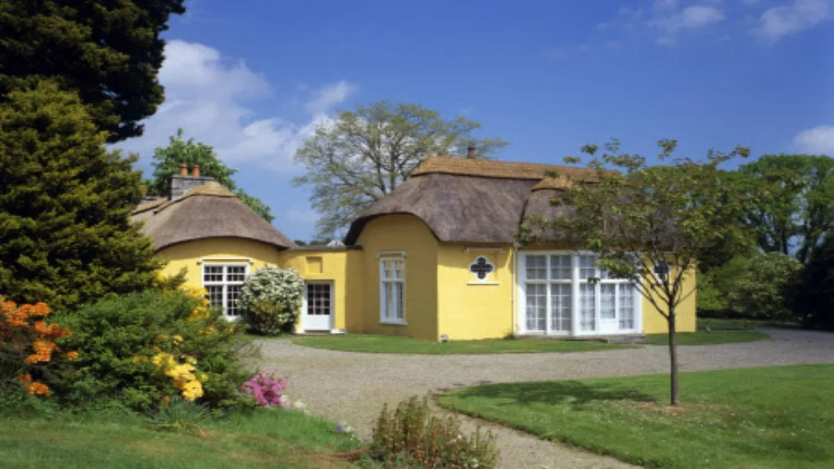
Derrymore House
Derrymore House — National Trust property.
 📷 3
📷 3Archaeological sites · Northern Ireland
Watson's Fort
Watson's Fort — a archaeological in northern-ireland, United Kingdom.
 📷 3
📷 3Viewpoints · Northern Ireland
Bernish Viewpoint
Bernish Viewpoint is a viewpoint in the United Kingdom.
.jpg?width=1200) 📷 3
📷 3Historic bridges · Northern Ireland
MacNeill's Egyptian Arch
MacNeill's Egyptian Arch is a historic bridge in the United Kingdom.
More towns in this region
 Flagship📷 5
Towns & cities · Northern Ireland
Bangor
Bangor — city in Northern Ireland, United Kingdom.
 Flagship📷 5
Towns & cities · Northern Ireland
Belfast
Belfast — capital city of Northern Ireland.
 Flagship📷 3
Towns & cities · Northern Ireland
Derry
Derry — city in Northern Ireland.
 Flagship📷 5
Towns & cities · Northern Ireland
Lisburn
Lisburn — city in Northern Ireland.
Frequently asked questions
- Where is Corrinshego?
- Corrinshego is in Northern Ireland, United Kingdom (postcode BT35 7LU).
- Who owns Corrinshego?
- Corrinshego is owned by | leader_party =.
- Is Corrinshego free to visit?
- Yes, Corrinshego is free to enter.
- How do I get to Corrinshego?
- The nearest railway station is Newry, about 2.2 km away. Drivers can navigate to postcode BT35 7LU.