Historic bridges · South East England
Cookham Bridge
Cookham Bridge is a historic bridge in the United Kingdom.

Wikimedia Commons contributors — see linked file page for photographer and licence licence
Plan your visit
- Typical visit
- 15 min–30 min
- Nearest railway station
- Cookham · 1.3 km
- Free entry
- Dog-friendly
About
Cookham Bridge is a named historic bridge in the United Kingdom. Records date its origin to 1867. Coordinates: 51.5623°, -0.7060°.
Photo gallery
Heritage listing
Cookham Bridge is a road bridge in Cookham, Berkshire, carrying the A4094 road across the River Thames in England. It is on the reach above Cookham Lock and links Cookham on the Berkshire bank with Bourne End in Buckinghamshire. Discounting a Roman bridge nearby, the bridge opened as a wooden bridge in 1840 in place of a longstanding ferry but today's iron-based structure dates from 1867. For 107 years a toll was payable – ceasing in 1947 when Berkshire County Council bought the bridge from its private owners. The bridge has a single lane for vehicles controlled by traffic lights at each end, and pedestrian pavements.
From the Historic England List Entry under OGL v3.
Protected designations
- Area of Outstanding Natural Beauty: Chilterns
Designations sourced from Natural England open data under OGL v3.
From the Wikipedia article
Cookham Bridge is a road bridge in Cookham, Berkshire, carrying the A4094 road across the River Thames in England. It is on the reach above Cookham Lock and links Cookham on the Berkshire bank with Bourne End in Buckinghamshire. Discounting a Roman bridge nearby, the bridge opened as a wooden bridge in 1840 in place of a longstanding ferry but today's iron-based structure dates from 1867. For 107 years a toll was payable – ceasing in 1947 when Berkshire County Council bought the bridge from its private owners. The bridge has a single lane for vehicles controlled by traffic lights at each end, and pedestrian pavements. The vehicle weight limit is 7.5 tonnes, save for buses and coaches.
Excerpt from Wikipedia under CC BY-SA 4.0. See the source article linked in Sources below.
Background
History
Cookham, on the south bank of the Thames has existed as a settlement for thousands of years but the first recorded river crossing there was the Camlet Way, a Roman road. This crossed at Hedsor Wharf and the remains of a Roman bridge were discovered there in the 19th century. The bridge fell into disrepair after the departure of the Romans in the early 5th century. Several ferry sites were established and even formed part of the Great West Road until the construction of Maidenhead Bridge in 1280, but it was another 1,400 years before building again a bridge at Cookham was seen as compelling. with a revised cost of £10,000 (£}}). This was still too expensive for the CBC and they decided not…
Sourced from Wikipedia under CC BY-SA 4.0.
- Coordinates
- 51.5623, -0.7060
- District
- Windsor and Maidenhead
- Parish
- Cookham
- Postcode
- SL6 9SW
- Parliamentary constituency
- Maidenhead
- Established
- 1867
- Nearest railway station
- Cookham — 1.3 km
Sources
- osm: w1303163867 (ODbL)
- wikipedia: Cookham Bridge (CC BY-SA 4.0)
- commons: CookhamBridge01.JPG (CC BY-SA 4.0)
Other places nearby
Loading nearby places…
Nearby
 📷 5
📷 5Abbeys & priories · South East England
Cookham Abbey
Cookham Abbey — abbey in Berkshire, England, UK.
 📷 5
📷 5Cathedrals · South East England
Cookham Abbey
Cookham Abbey is a cathedral in the United Kingdom.
 📷 5
📷 5Historic houses · South East England
Church Gate House
Church Gate House — house in Cookham, Windsor and Maidenhead, England, UK.
Hotels · South East England
Bel and the Dragon
Bel and the Dragon — a hotel in england south east.
 📷 5
📷 5Galleries · South East England
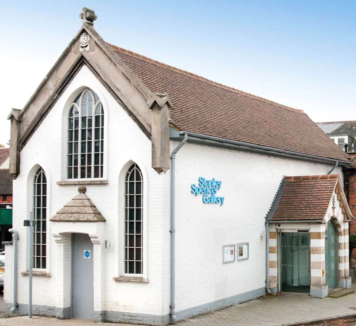
Stanley Spencer Gallery
Stanley Spencer Gallery — art museum in Cookham, Berkshire, United Kingdom.
 📷 5
📷 5Towns & cities · South East England
Cookham
Cookham — village and civil parish in the north-easternmost corner of Berkshire, England, UK.
Other bridges from this era
.JPG?width=1200) 📷 5
📷 5Historic bridges · London
Black Potts Railway Bridge
Black Potts Railway Bridge is a historic bridge in the United Kingdom.
 📷 5
📷 5Historic bridges · London
Blackfriars Bridge
Blackfriars Bridge is a historic bridge in the United Kingdom.
 📷 5
📷 5Historic bridges · London
Cannon Street Railway Bridge
Cannon Street Railway Bridge is a historic bridge in the United Kingdom.
 📷 5
📷 5Historic bridges · London
Digswell Viaduct
Digswell Viaduct is a historic bridge in the United Kingdom.
More bridges in this region
 📷 5
📷 5Historic bridges · South East England
Arundel Bridge
Arundel Bridge is a historic bridge in the United Kingdom.
 📷 5
📷 5Historic bridges · South East England
Ash Aqueduct
Ash Aqueduct is a historic bridge in the United Kingdom.
 📷 5
📷 5Historic bridges · South East England
Avoncliff Aqueduct
Avoncliff Aqueduct is a historic bridge in the United Kingdom.
📷 5Historic bridges · South East England
Avoncliff Aqueduct
Avoncliff Aqueduct is a historic bridge in the United Kingdom.
Frequently asked questions
- Where is Cookham Bridge?
- Cookham Bridge is in South-East England, United Kingdom (postcode SL6 9SW), in the parish of Cookham.
- When was Cookham Bridge built?
- Built or established in 1867.
- Is Cookham Bridge a listed building?
- Cookham Bridge is officially recognised as Grade II listed building listed.
- Is Cookham Bridge a protected site?
- Yes — Cookham Bridge is part of the Chilterns National Landscape (AONB).
- Is Cookham Bridge free to visit?
- Yes, Cookham Bridge is free to enter.
- How do I get to Cookham Bridge?
- The nearest railway station is Cookham, about 1.3 km away. Drivers can navigate to postcode SL6 9SW.