Forts · Northern Ireland
Conn O'Neill's Castle Site
Conn O'Neill's Castle Site — Historic fort, dating to 1471.

Rossographer — CC BY-SA 2.0 via Wikimedia Commons licence
Plan your visit
- Typical visit
- 45 min–1.5 h
- Nearest railway station
- Belfast Lanyon Place · 4.0 km
About
Conn O'Neill's Castle Site is a historic fort or fortified site in the United Kingdom. Wikidata describes it as: "Historic fort, dating to 1471.". Coordinates: 54.5697°, -5.8741°.
Photo gallery
Place summary
Conn O'Neill's Castle Site is a historic fort located in Northern Ireland, postcode BT6. It is associated with the Gaelic lord Conn O'Neill, representing a significant period in the region’s history. The site offers insights into the strategic military architecture of its time.
AI-generated from the structured facts on this page (operator, designation, listing, era). Not a substitute for visiting.
- Coordinates
- 54.5697, -5.8741
- District
- Belfast
- Postcode
- BT6 9SA
- Parliamentary constituency
- Belfast East
- Nearest railway station
- Belfast Lanyon Place — 4 km
Sources
- osm: n11236731136 (ODbL)
Other places nearby
Loading nearby places…
Nearby
 📷 3
📷 3Archaeological sites · Northern Ireland
Inauguration Site of the Clannaboy O'Neills
Inauguration Site of the Clannaboy O'Neills — a archaeological in northern-ireland, United Kingdom.
 📷 2
📷 2Natural landmarks · Northern Ireland
Lagan College
Lagan College in Northern Ireland, United Kingdom.
 📷 4
📷 4Natural landmarks · Northern Ireland
Cregagh
Cregagh in Northern Ireland, United Kingdom.
📷 3Memorials & monuments · Northern Ireland
Lisnabreeny Memorial
Lisnabreeny Memorial — a memorial in northern-ireland, United Kingdom.
 📷 3
📷 3Museums · Northern Ireland
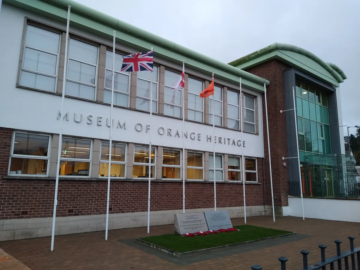
Museum Of Orange Heritage - Schomberg House
Museum Of Orange Heritage - Schomberg House — museum in Belfast, Northern Ireland, UK.
 📷 3
📷 3Natural landmarks · Northern Ireland
Braniel
Braniel in Northern Ireland, United Kingdom.
More forts in this region
 📷 3
📷 3Forts · Northern Ireland
Battle of Antrim 1798
Battle of Antrim 1798 is a fort in the United Kingdom.
.jpg?width=1200) 📷 3
📷 3Forts · Northern Ireland
Battle of Benburb 1646
Battle of Benburb 1646 is a fort in the United Kingdom.
 📷 5
📷 5Forts · Northern Ireland
Battle of Connor 1315
Battle of Connor 1315 is a fort in the United Kingdom.
 📷 3
📷 3Forts · Northern Ireland
Battle of Knockavoe Battlefield
Battle of Knockavoe Battlefield is a fort in the United Kingdom.
Frequently asked questions
- Where is Conn O'Neill's Castle Site?
- Conn O'Neill's Castle Site is in Northern Ireland, in the United Kingdom — coordinates 54.5697°, -5.8741°. The nearest railway station is Belfast Lanyon Place, around 4 km away.