Reservoirs & lochs · Scottish Lowlands
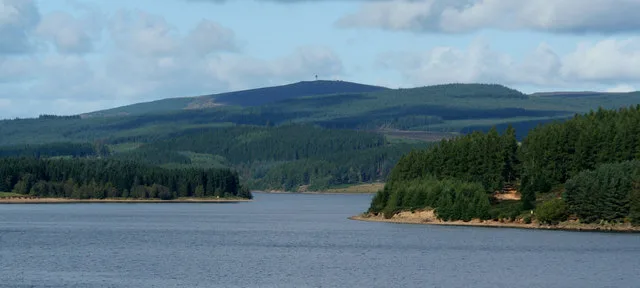
Colt Crag Reservoir
Colt Crag Reservoir — reservoir in Northumberland, England.

Wikimedia Commons contributors — see linked file page for photographer and licence licence
Plan your visit
- Typical visit
- 1 h–2.5 h
- Free entry
- Dog-friendly
About
Colt Crag Reservoir is a reservoir in the United Kingdom. Wikidata describes it as: "reservoir in Northumberland, England". Coordinates: 55.0980°, -2.1030°.
Photo gallery
From the Wikipedia article
Colt Crag Reservoir is a relatively shallow reservoir in Northumberland, England adjacent to the A68 road, and 9 miles (14 km) north of Corbridge. The A68 road at this point runs along the course of Dere Street, a Roman road.
Excerpt from Wikipedia under CC BY-SA 4.0. See the source article linked in Sources below.
Background
History
The reservoir was built at the end of the 19th century for the Newcastle and Gateshead Water Company. The reservoir forms part of a series of reservoirs along the A68 which are connected by tunnels and aqueducts from Catcleugh Reservoir to Whittle Dene; from where drinking water is supplied to Newcastle upon Tyne, Gateshead, and some surrounding areas. The reservoirs that form the chain are, from northwest to southeast: Catcleugh Reservoir → Colt Crag Reservoir → Little Swinburne Reservoir → Hallington Reservoirs → Whittle Dene.
Sourced from Wikipedia under CC BY-SA 4.0.
- Coordinates
- 55.0980, -2.1030
- District
- Northumberland
- Parish
- Chollerton
- Postcode
- NE48 3JD
- Parliamentary constituency
- Hexham
Sources
- wikidata: Q5149401 (CC0)
- wikipedia: Colt Crag Reservoir (CC BY-SA 4.0)
- commons: Colt Crag Reservoir - geograph.org.uk - 834790.jpg (CC BY-SA 4.0)
Other places nearby
Loading nearby places…
Nearby
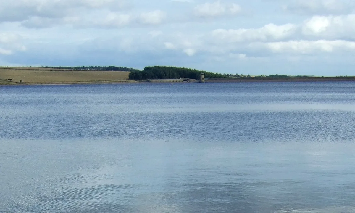
 📷 3
📷 3Reservoirs & lochs · Scottish Lowlands
Little Swinburne Reservoir
Little Swinburne Reservoir — reservoir in Northumberland, England, UK.
Caravan parks · Scottish Lowlands
Barrasford Park Caravan Site
Barrasford Park Caravan Site — a caravan park in scotland lowlands.
Campsites · Scottish Lowlands
Barrasford Park Camping Site
Barrasford Park Camping Site — a campsite in scotland lowlands.
 📷 4
📷 4Other places · North East England
Carrycoats
Carrycoats in England North East, United Kingdom.
.jpg?width=1200) 📷 3
📷 3Archaeological sites · Scottish Lowlands
Dunn Crags farmstead and irregular enclosed field system, 950m north-west of Colwell
Dunn Crags farmstead and irregular enclosed field system, 950m north-west of Colwell — archaeological site in Chollerton, Northumberland, England, UK.
 📷 4
📷 4Other places · North East England
Thockrington
Thockrington in England North East, United Kingdom.
More places in this region
 Flagship📷 5
Reservoirs & lochs · Scottish Lowlands
Kielder Water
Kielder Water — reservoir in Northumberland, England, UK, on the River North Tyne.
 Flagship📷 3
Reservoirs & lochs · Scottish Lowlands
Q1200405
Q1200405 — reservoir on the border between County Durham and Northumberland, in England.
 📷 3
📷 3Reservoirs & lochs · Scottish Lowlands
Alemoor Reservoir
Alemoor Reservoir — reservoir lake in Scottish Borders, Scotland, UK, on Ale Water.
 📷 3
📷 3Reservoirs & lochs · Scottish Lowlands
Aucha Lochy
Aucha Lochy — reservoir on Kintyre, Argyll and Bute, Scotland, UK, outflows south to Auchalochy Burn.
Frequently asked questions
- Where is Colt Crag Reservoir?
- Colt Crag Reservoir is in Scottish Lowlands, in the United Kingdom — coordinates 55.0980°, -2.1030°.
- Is Colt Crag Reservoir free to visit?
- Yes — admission to Colt Crag Reservoir is free.