Natural landmarks · Yorkshire & the Humber
Cleveland Way
109-mile horseshoe trail around the North York Moors and its sea cliffs.

Peter Church — CC BY-SA 2.0 via Wikimedia Commons licence
Plan your visit
- Typical visit
- 1 h–2 h
- Free entry
- Dog-friendly
About
The Cleveland Way is the National Trail (1969) running 109 miles around the North York Moors National Park — half across moorland from Helmsley to Saltburn, then along the dramatic North Sea cliffs to Filey.
Photo gallery
From the Wikipedia article
The Cleveland Way is a National Trail in the historic area of Cleveland in North Yorkshire, Northern England. It runs 110 miles (177 km) between Helmsley and the Brigg at Filey, through the west, north and east of the North York Moors National Park.
Excerpt from Wikipedia under CC BY-SA 4.0. See the source article linked in Sources below.
Background
History
Development of the Cleveland Way began in the 1930s when the Teesside Ramblers' Association pressed for the creation of a long-distance path in the north-east of Yorkshire linking the Hambleton Drove Road, the Cleveland escarpment and footpaths on the Yorkshire coast. Subsequently, in 1953, a formal proposal to create the route was submitted to the North Riding of Yorkshire Council by the National Parks Commission. The trail was officially opened in 1969. It was the second official National Trail to be opened.
Visiting
The path is accessible at a number of points, including the following: {| class="wikitable" style="border:0px; text-align:left; line-height:150%" ! scope="col" |Location ! scope="col" |From Helmsley ! scope="col" |Notes |- | Helmsley | - | A market town on the south western edge of the moors. Accessible by car or by regular bus service. |- | Rievaulx Abbey | 2.8 miles | A former Cistercian abbey in an isolated valley in the Hambleton Hills to the west of Helmsley. Accessible by car. |- | Sutton Bank | 10.2 miles | A hill on the Hambleton Hills with extensive views over the Vale of York and the Vale of Mowbray, with a National Park visitor centre. The Kilburn White Horse is nearby.…
Sourced from Wikipedia under CC BY-SA 4.0.
- Coordinates
- 54.4000, -1.0000
- Address
- North Yorkshire, England
- Established
- 1969
- Official site
- www.nationaltrail.co.uk
Sources
- manual: cleveland-way (manual)
- wikipedia: Cleveland Way (CC BY-SA 4.0)
Other places nearby
Loading nearby places…
Nearby
 📷 3
📷 3Memorials & monuments · Yorkshire & the Humber
Karl Briggs
Karl Briggs — a memorial in england-yorkshire, United Kingdom.
 📷 4
📷 4Memorials & monuments · Yorkshire & the Humber
Margery Bradley
Margery Bradley is a memorial in the United Kingdom.
 📷 3
📷 3Historic houses · Yorkshire & the Humber
The Margery Bradley standing stone
The Margery Bradley standing stone — a Grade II*-listed historic house in england-yorkshire, United Kingdom.
 📷 3
📷 3Natural landmarks · Yorkshire & the Humber
Cammon Stone
Cammon Stone — a other in england-yorkshire, United Kingdom.
 📷 3
📷 3Memorials & monuments · Yorkshire & the Humber
Old Ralph
Old Ralph — a memorial in england-yorkshire, United Kingdom.
 📷 3
📷 3Memorials & monuments · Yorkshire & the Humber
Cockan Cross
Cockan Cross — a memorial in england-yorkshire, United Kingdom.
Other natural landmarks from this era
_(cropped).JPG?width=1200) 📷 5
📷 5Natural landmarks · London
George Stuart White
George Stuart White — Public artwork (statue).
 📷 5
📷 5Natural landmarks · London
Homage to Leonardo
Homage to Leonardo — Public artwork (statue).
 📷 5
📷 5Natural landmarks · London
John Keats
John Keats — Public artwork (statue) by Stuart Williamson.
 📷 5
📷 5Natural landmarks · London
José de San Martín
José de San Martín — Public artwork (statue).
More natural landmarks in this region
 📷 3
📷 3Natural landmarks · Yorkshire & the Humber
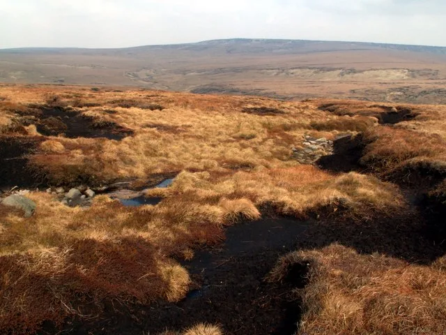
Black Chew Head
Black Chew Head — Hill in the United Kingdom.
 📷 5
📷 5Natural landmarks · Yorkshire & the Humber
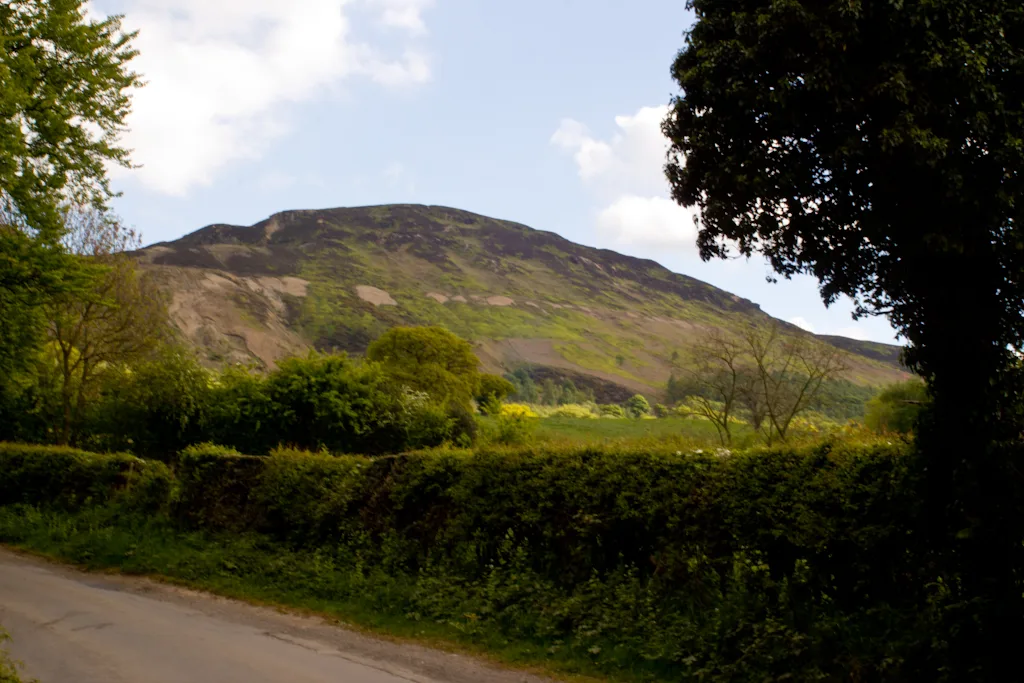
Carlton Bank
Carlton Bank — hill in the United Kingdom.
 📷 3
📷 3Natural landmarks · Yorkshire & the Humber
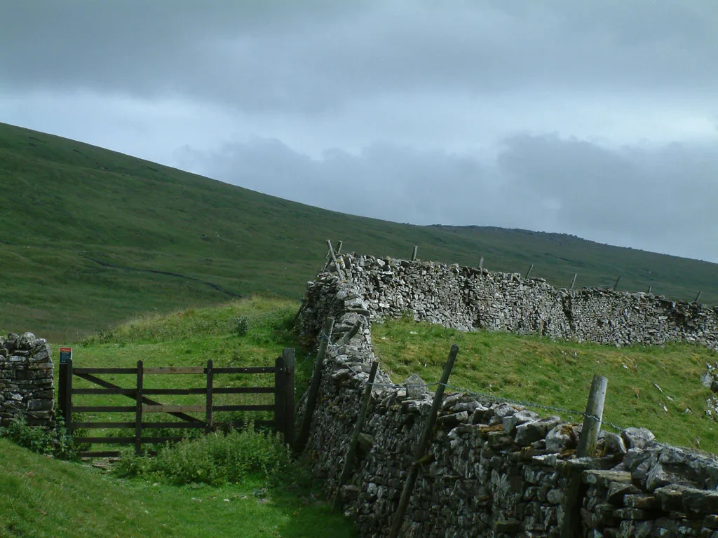
Great Whernside
Great Whernside — mountain in United Kingdom.
 📷 3
📷 3Natural landmarks · Yorkshire & the Humber
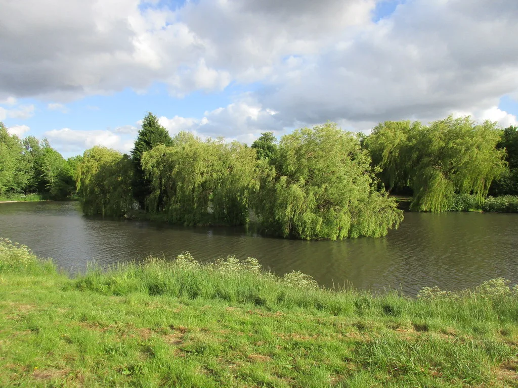
Highfields Lake
Highfields Lake — lake in the United Kingdom.
Frequently asked questions
- Where is Cleveland Way?
- Cleveland Way is in Yorkshire, United Kingdom.
- When was Cleveland Way built?
- Built or established in 1969.
- Is Cleveland Way free to visit?
- Yes, Cleveland Way is free to enter.