Gardens · West Midlands
Clayton Vale
Clayton Vale — valley in Clayton, Manchester, England, UK.

Wikimedia Commons licence
Plan your visit
- Typical visit
- 1 h–2.5 h
- Best time of year
- Spring & summer (Apr–Sep)
- Nearest railway station
- Ashburys · 2.5 km
- Dog-friendly
About
Clayton Vale is a public garden in the United Kingdom. Wikidata describes it as: "valley in Clayton, Manchester, England, UK". Coordinates: 53.4914°, -2.1761°.
Photo gallery
From the Wikipedia article
Clayton Vale is an area of green space in Clayton, Manchester, England, through which the River Medlock flows. Redeveloped in 1986, the land has a rich industrial and social history. Today the area is a natural habitat for wildlife and it has been designated a Local Nature Reserve.
Excerpt from Wikipedia under CC BY-SA 4.0. See the source article linked in Sources below.
- Coordinates
- 53.4914, -2.1761
- District
- Manchester
- Parish
- Manchester, unparished area
- Postcode
- M40 1LQ
- Parliamentary constituency
- Manchester Central
- Nearest railway station
- Ashburys — 2.5 km
Sources
- wikidata: Q5130350 (CC0)
- wikipedia: Clayton Vale (CC BY-SA 4.0)
Other places nearby
Loading nearby places…
Nearby
 📷 5
📷 5Other places · West Midlands
Clayton, Manchester
Clayton, Manchester — a other in england-west-midlands, United Kingdom.
 📷 3
📷 3Museums · West Midlands
Clayton Hall
Clayton Hall — a museum in england-west-midlands, United Kingdom.
 📷 5
📷 5Historic churches · West Midlands
Manchester Islamic Centre
Manchester Islamic Centre — a church in england-west-midlands, United Kingdom.
 📷 3
📷 3Historic bridges · West Midlands
Bridge Over Moat To Clayton Hall
Bridge Over Moat To Clayton Hall — Grade II listed building-listed bridge in england-west-midlands, United Kingdom.
 📷 3
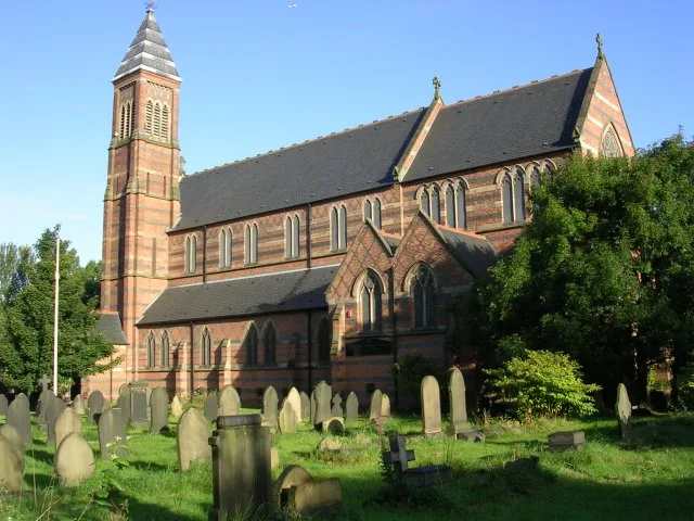
📷 3Historic churches · West Midlands
Church of St Cross, Clayton
Church of St Cross, Clayton — church in Manchester, UK.
 📷 5
📷 5Historic churches · North West England
Newton Heath
Newton Heath is an area of Manchester, England, 2.8 miles (4.5 km) north-east of Manchester city centre and with a population of 9,883. Historically part of Lancashire, Newton was formerly a farming a
More gardens in this region
 📷 3
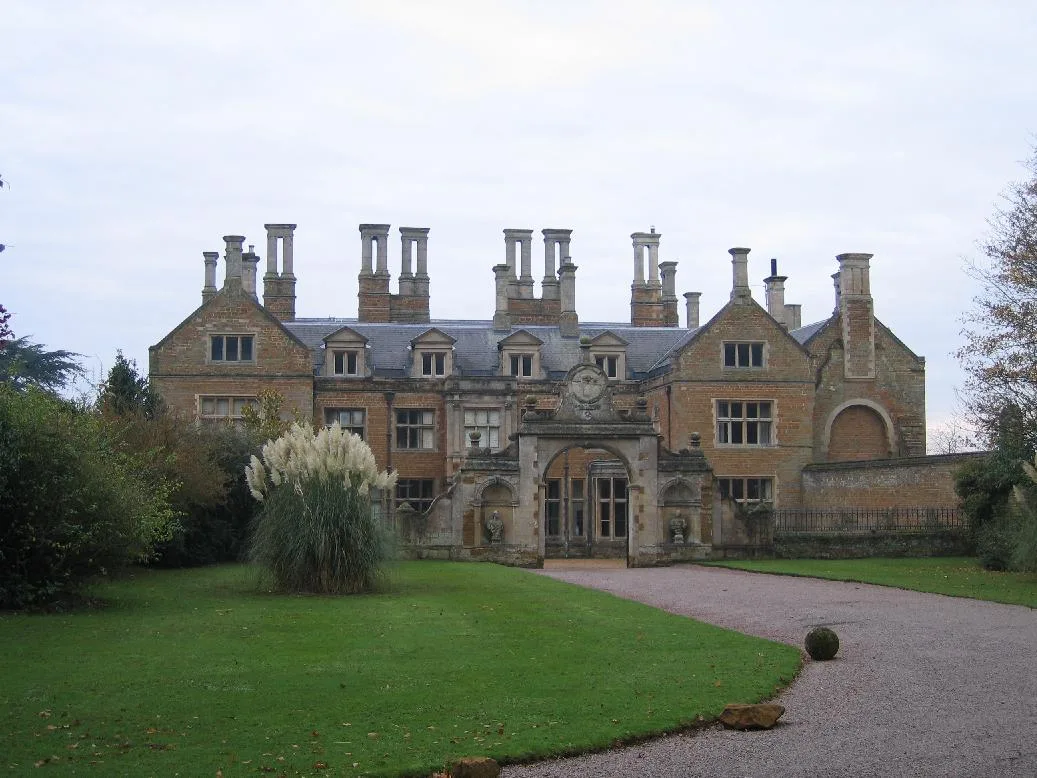
📷 3Gardens · West Midlands
Holdenby House
Holdenby House — country house in Northamptonshire, UK.
 📷 5
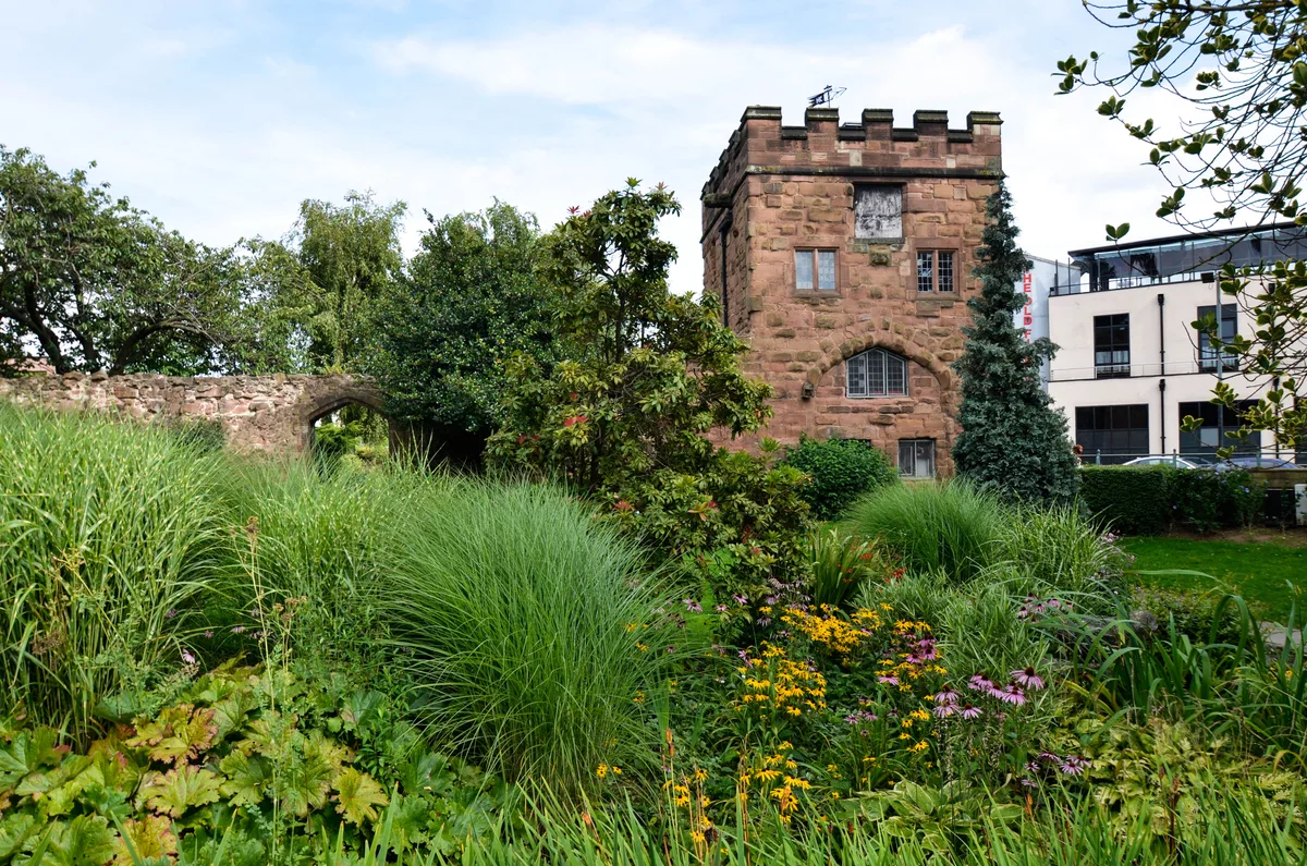
📷 5Gardens · West Midlands
Lady Herbert's Garden
Lady Herbert's Garden — garden in Coventry, West Midlands, England, UK.
 📷 3
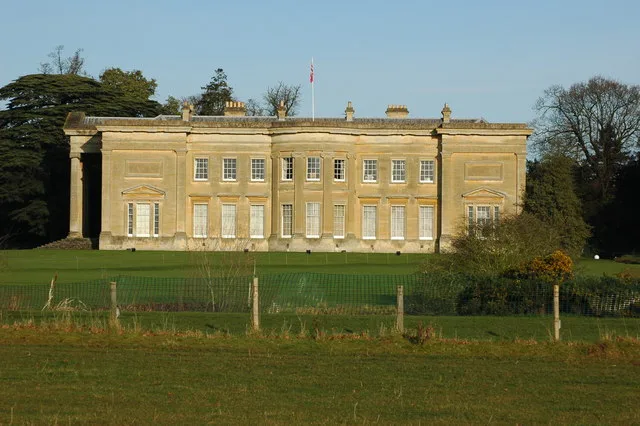
📷 3Gardens · West Midlands
Spetchley Park
Spetchley Park — house and park in Worcestershire, England, UK.
 📷 5
📷 5Gardens · West Midlands
Stowe Park and Garden
Stowe Park and Garden — park and garden in Buckinghamshire, England, UK.
Frequently asked questions
- Where is Clayton Vale?
- Clayton Vale is in West Midlands, in the United Kingdom — coordinates 53.4914°, -2.1761°. The nearest railway station is Ashburys, around 2.5 km away.