Natural landmarks · North West England
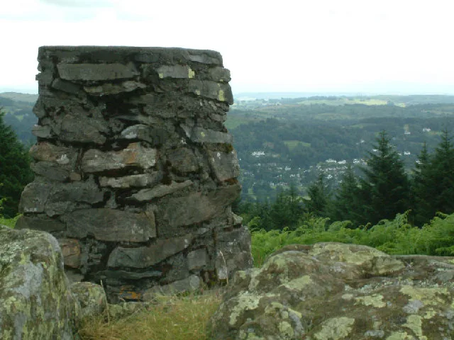
Claife Heights
Claife Heights — mountain in United Kingdom.

Wikimedia Commons contributors — see linked file page for photographer and licence licence
Plan your visit
- Typical visit
- 1 h–2 h
- Nearest railway station
- Windermere · 3.4 km
- Free entry
- Dog-friendly
About
Claife Heights is a named natural landmark in the United Kingdom. Wikidata describes it as: "mountain in United Kingdom". Coordinates: 54.3680°, -2.9520°.
Photo gallery
Protected designations
- Site of Special Scientific Interest: Claife Tarns and Mires SSSI
- Site of Special Scientific Interest: River Eden and Tributaries SSSI
Designations sourced from Natural England open data under OGL v3.
From the Wikipedia article
Claife Heights is an upland area in the Lake District, near to Windermere in Cumbria, England. It has a topographic prominence of 177 metres (581 ft) so is classified as a Marilyn (a hill with prominence of at least 150m). It is the subject of a chapter of Wainwright's book The Outlying Fells of Lakeland. He describes a clockwise circuit starting at Far Sawrey and passing Moss Eccles Tarn. He says "Claife Heights is delightful. It was more so before forestry curtailed walking and restricted the views." and describes it as "No definite summit. Highest parts about 900ft."
Excerpt from Wikipedia under CC BY-SA 4.0. See the source article linked in Sources below.
- Coordinates
- 54.3680, -2.9520
- District
- Westmorland and Furness
- Parish
- Claife
- Postcode
- LA22 0LR
- Parliamentary constituency
- Westmorland and Lonsdale
- Nearest railway station
- Windermere — 3.4 km
Sources
- wikidata: Q5125074 (CC0)
- wikipedia: Claife Heights (CC BY-SA 4.0)
- commons: Claife Heights - geograph.org.uk - 7938.jpg (CC BY-SA 4.0)
Other places nearby
Loading nearby places…
Nearby
 📷 3
📷 3Mountains & hills · North West England
Claife Heights
Claife Heights — Named summit at 270 m.
Caravan parks · North West England
Strawberry Gardens
Strawberry Gardens — a caravan park in england north west.
 📷 3
📷 3Natural landmarks · North West England
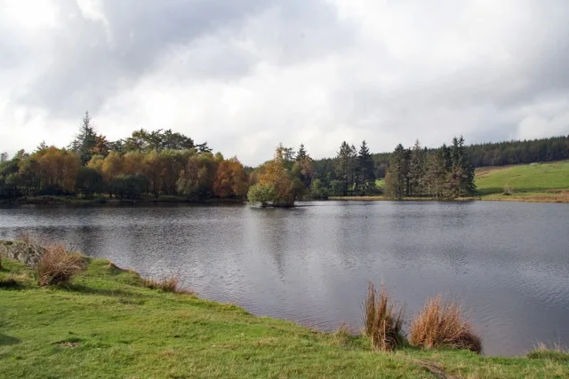
Moss Eccles Tarn
Moss Eccles Tarn — lake in the United Kingdom.
 ★ Iconic📷 5
Natural landmarks · North West England
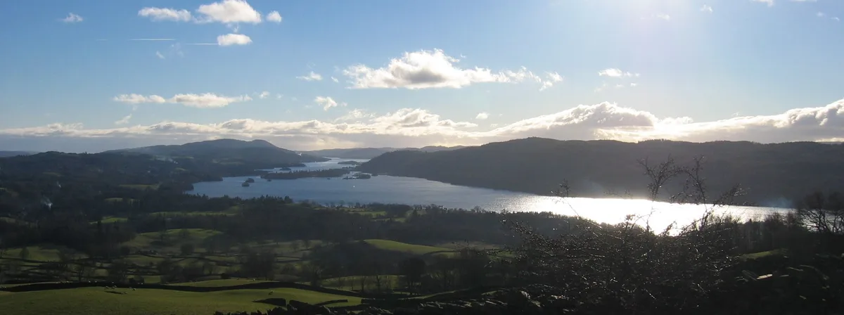
Windermere
England's largest natural lake — 10.5 miles of Lake District ribbon water.
 Flagship📷 5
Natural landmarks · North West England
Windermere
Windermere — largest natural lake in England.
 📷 3
📷 3Public art & sculpture · North West England
The Bavarian Lion
The Bavarian Lion — a public art in england-north-west, United Kingdom.
More natural landmarks in this region
 ★ Iconic📷 4
Natural landmarks · North West England
Coniston Water
Lake District lake — Swallows and Amazons setting and Donald Campbell water-speed history.
 📷 3
📷 3Natural landmarks · North West England
Elter Water
Elter Water — lake in the United Kingdom.
 📷 3
📷 3Natural landmarks · North West England
Esthwaite Water
Esthwaite Water — lake in the United Kingdom.
 Flagship📷 5
Natural landmarks · North West England
Semerwater
Semerwater — lake in North Yorkshire, England, UK.
Frequently asked questions
- Where is Claife Heights?
- Claife Heights is in North-West England, United Kingdom (postcode LA22 0LR), in the parish of Claife.
- Is Claife Heights a protected site?
- Yes — Claife Heights is part of the Claife Tarns and Mires SSSI Site of Special Scientific Interest and the River Eden and Tributaries SSSI Site of Special Scientific Interest.
- Is Claife Heights free to visit?
- Yes, Claife Heights is free to enter.
- How do I get to Claife Heights?
- The nearest railway station is Windermere, about 3.4 km away. Drivers can navigate to postcode LA22 0LR.