Museums · North West England
City of Lancaster
The City of Lancaster, or simply Lancaster (), is a local government district with city status in Lancashire, England. It is named after its largest settlement, Lancaster, and also includes the towns

Stephen Richards — CC BY-SA 2.0 via Wikimedia Commons licence
Plan your visit
- Typical visit
- 1.5 h–3 h
- Best time of year
- Year-round
- Family-friendly
- Limited wheelchair access
About
The City of Lancaster, or simply Lancaster (), is a local government district with city status in Lancashire, England. It is named after its largest settlement, Lancaster, and also includes the towns of Carnforth, Heysham and Morecambe and a wider rural hinterland. The district has a population of 145,006 (2024), and an area of 219 square miles (567 km2). Much of the district's rural area is recognised for its natural beauty; it includes part of the Yorkshire Dales National Park and parts of the designated Areas of Outstanding Natural Beauty of Arnside and Silverdale and the Forest of Bowland. The neighbouring districts are Westmorland and Furness, North Yorkshire, Ribble Valley and Wyre.
Photo gallery
From the Wikipedia article
The City of Lancaster, or simply Lancaster (), is a local government district with city status in Lancashire, England. It is named after its largest settlement, Lancaster, and also includes the towns of Carnforth, Heysham and Morecambe and a wider rural hinterland. The district has a population of 145,006 (2024), and an area of 219 square miles (567 km2). Much of the district's rural area is recognised for its natural beauty; it includes part of the Yorkshire Dales National Park and parts of the designated Areas of Outstanding Natural Beauty of Arnside and Silverdale and the Forest of Bowland. The neighbouring districts are Westmorland and Furness, North Yorkshire, Ribble Valley and Wyre.
Excerpt from Wikipedia under CC BY-SA 4.0. See the source article linked in Sources below.
Background
History
The town of Lancaster was an ancient borough, with its earliest known charter dating from 1193. A later charter in 1337 gave it the right to appoint a mayor. It was reformed to become a municipal borough in 1836, governed by a body formally called the "mayor, aldermen and burgesses of the borough of Lancaster", but generally known as the corporation or town council. In 1937 the borough was awarded city status. The modern district was created on 1 April 1974 under the Local Government Act 1972, covering the territory of five former districts which were abolished at the same time: The new district was awarded borough status from its creation, allowing the chair of the council to take the…
Sourced from Wikipedia under CC BY-SA 4.0.
- Coordinates
- 54.0470, -2.8010
- County
- Lancashire
- District
- Lancaster
- Parish
- Lancaster, unparished area
- Postcode
- LA1 1RH
- Parliamentary constituency
- Lancaster and Wyre
- Official site
- meditationinlancaster.org
Sources
- wikipedia: City of Lancaster (CC BY-SA 4.0)
Other places nearby
Loading nearby places…
Nearby
 📷 4
📷 4Theatres · North West England
Regal Cinemas
Regal Cinemas in England North West, United Kingdom.
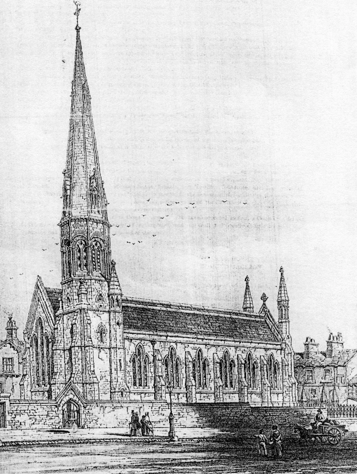
📷 5Historic churches · North West England
Kadampa Meditation Centre
Kadampa Meditation Centre — a church in england-north-west, United Kingdom.
 📷 3
📷 3Historic churches · North West England
St Thomas' Church, Lancaster
St Thomas' Church, Lancaster — grade II listed church in Lancaster, Lancashire, England, UK.
 📷 3
📷 3Theatres · North West England
Palladium Cinema
Palladium Cinema in England North West, United Kingdom.
 📷 3
📷 3Galleries · North West England
King Street Studios
King Street Studios — a gallery in england-north-west, United Kingdom.
 📷 3
📷 3Theatres · North West England
ABC Lancaster
ABC Lancaster in England North West, United Kingdom.
More museums in this region
 📷 3
📷 3Museums · North West England
Abbot Hall Art Gallery
Abbot Hall Art Gallery — Grade I listed art museum in Kendal, United Kingdom.
 📷 4
📷 4Museums · North West England
Bancroft Shed
Bancroft Shed — mill museum in Barnoldswick, Pendle, Lancashire, England, UK.
 📷 3
📷 3Museums · North West England
Blackburn Museum and Art Gallery
Blackburn Museum and Art Gallery — museum in Lancashire, England.
 📷 5
📷 5Museums · North West England
Bolton Steam Museum
Bolton Steam Museum — industrial museum in England, United Kingdom.
Frequently asked questions
- Where is City of Lancaster?
- City of Lancaster is in Lancashire, North-West England, United Kingdom (postcode LA1 1RH), in the parish of Lancaster, unparished area.
- Who owns City of Lancaster?
- City of Lancaster is owned by Lancaster City Council.
- How do I get to City of Lancaster?
- Drivers can navigate to postcode LA1 1RH. It sits within the Lancaster and Wyre parliamentary constituency.