Historic churches · West Midlands
Chorlton-on-Medlock
Chorlton-on-Medlock is an inner city area of Manchester, England. Historically in Lancashire, Chorlton-on-Medlock is bordered to the north by the River Medlock, which runs immediately south of Manches

Gerald England — CC BY-SA 2.0 via Wikimedia Commons licence
Plan your visit
- Typical visit
- 30 min–1 h
- Free entry
About
Chorlton-on-Medlock is an inner city area of Manchester, England. Historically in Lancashire, Chorlton-on-Medlock is bordered to the north by the River Medlock, which runs immediately south of Manchester city centre. Its other borders roughly correspond to Stockport Road, Hathersage Road, Moss Lane East and Boundary Lane. Neighbouring districts are Hulme to the west, Ardwick to the east and Victoria Park, Rusholme and Moss Side to the south. A large portion of the district along Oxford Road is occupied by the campuses of the University of Manchester, Manchester Metropolitan University, and the Royal Northern College of Music. To the south of the university's Oxford Road campus a considerable area is occupied by a group of contiguous hospitals including Manchester Royal Infirmary, to the west of which is Whitworth Park.
Photo gallery
From the Wikipedia article
Chorlton-on-Medlock is an inner city area of Manchester, England. Historically in Lancashire, Chorlton-on-Medlock is bordered to the north by the River Medlock, which runs immediately south of Manchester city centre. Its other borders roughly correspond to Stockport Road, Hathersage Road, Moss Lane East and Boundary Lane. Neighbouring districts are Hulme to the west, Ardwick to the east and Victoria Park, Rusholme and Moss Side to the south. A large portion of the district along Oxford Road is occupied by the campuses of the University of Manchester, Manchester Metropolitan University, and the Royal Northern College of Music. To the south of the university's Oxford Road campus a considerable area is occupied by a group of contiguous hospitals including Manchester Royal Infirmary, to the west of which is Whitworth Park.
Excerpt from Wikipedia under CC BY-SA 4.0. See the source article linked in Sources below.
Background
History
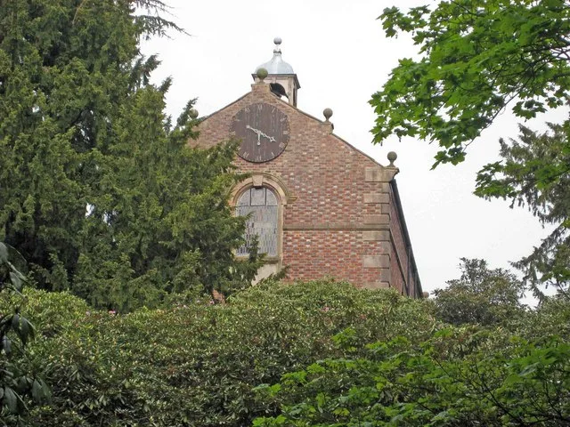
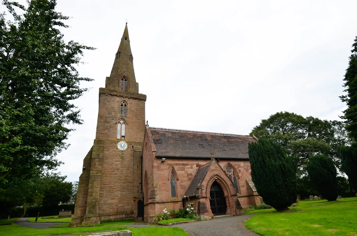
In medieval times, the district was known as Chorlton Row and was a township of the ancient parish of Manchester in the Salford hundred of Lancashire. Towards the end of the 18th century, it developed as a residential suburb of Manchester and in the extreme north of the township a number of cotton mills were established. In 1820 the parish church of All Saints was built. Development began in 1793–94 and most of the important streets were given impressive names, Oxford Street, Cambridge Street and Grosvenor Street. Over the following 30 years residential development spread southwards as far as Tuer Street: and by the mid-1840s to High Street. Few dwellings of that period remain today apart…
Sourced from Wikipedia under CC BY-SA 4.0.
- Coordinates
- 53.4667, -2.2167
- District
- Manchester
- Parish
- Manchester, unparished area
- Postcode
- M12 4BB
- Parliamentary constituency
- Manchester Rusholme
- Official site
- www.elizabethgaskellhouse.co.uk
Sources
- wikipedia: Chorlton-on-Medlock (CC BY-SA 4.0)
Other places nearby
Loading nearby places…
Nearby
 📷 4
📷 4Museums · West Midlands
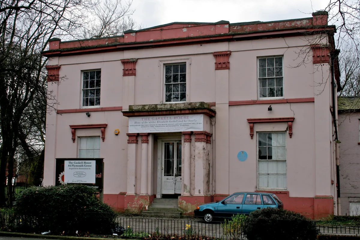
Elizabeth Gaskell's House
Elizabeth Gaskell's House — museum in Manchester.
 📷 4
📷 4Theatres · North West England
O2 Apollo Manchester
O2 Apollo Manchester in England North West, United Kingdom.
 📷 3
📷 3Historic houses · West Midlands
Ardwick Hall
Ardwick Hall — former house in Manchester, England.
 📷 5
📷 5Historic churches · West Midlands
Dar Al-Islam Foundation
Dar Al-Islam Foundation — a church in england-west-midlands, United Kingdom.
 📷 5
📷 5Theatres · West Midlands
New Manchester Hippodrome Theatre
New Manchester Hippodrome Theatre — a cinema heritage in england-west-midlands, United Kingdom.
 📷 5
📷 5Historic churches · West Midlands
Markaz Al-Takwa
Markaz Al-Takwa — a church in england-west-midlands, United Kingdom.
More places in this region
 📷 3
📷 3Historic churches · West Midlands
All Saints Chapel, Somerford
All Saints Chapel, Somerford — church in Cheshire East, Cheshire, England, UK.
 📷 4
📷 4Historic churches · West Midlands
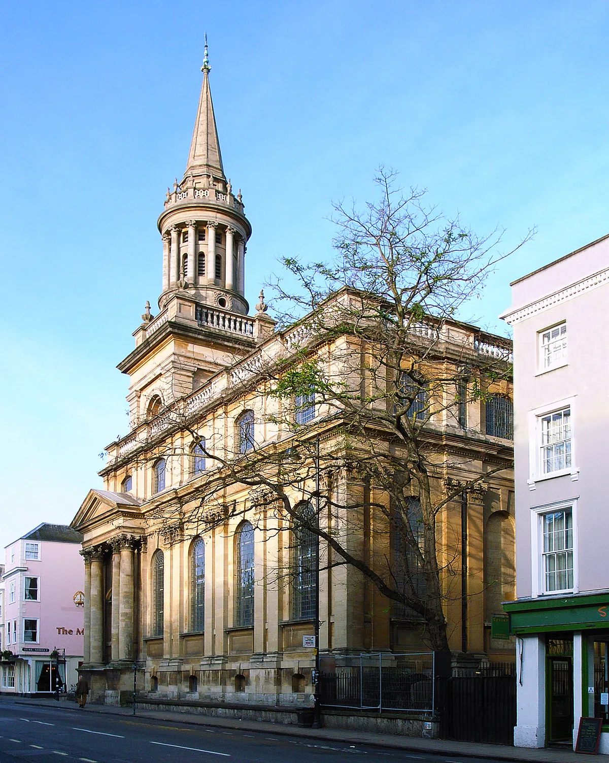
All Saints Church
All Saints Church — church building in Oxford, UK.
 📷 3
📷 3Historic churches · West Midlands
All Saints Church, Aldwincle
All Saints Church, Aldwincle — church in Aldwincle, Northamptonshire, UK.
 📷 3
📷 3Historic churches · West Midlands
All Saints Church, Allesley
All Saints Church, Allesley — Grade I listed church in Coventry, West Midlands, England, UK.
Frequently asked questions
- Where is Chorlton-on-Medlock?
- Chorlton-on-Medlock is in the West Midlands, United Kingdom (postcode M12 4BB), in the parish of Manchester, unparished area.
- Is Chorlton-on-Medlock free to visit?
- Yes, Chorlton-on-Medlock is free to enter.
- How do I get to Chorlton-on-Medlock?
- Drivers can navigate to postcode M12 4BB. It sits within the Manchester Rusholme parliamentary constituency.