Islands · North West England
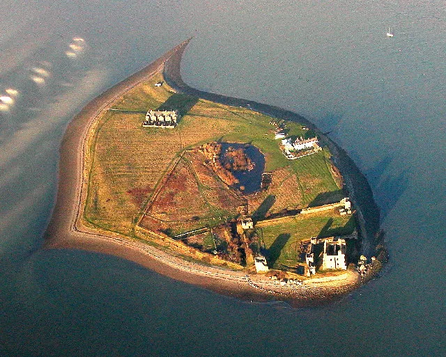
Chicken Rock
Chicken Rock — the southernmost island administered by the Isle of Man.

Wikimedia Commons contributors — see linked file page for photographer and licence licence
Plan your visit
- Typical visit
- 4 h–12 h
- Free entry
- Dog-friendly
About
Chicken Rock is a island in the United Kingdom. Wikidata describes it as: "the southernmost island administered by the Isle of Man". Coordinates: 54.0378°, -4.8386°.
Photo gallery
From the Wikipedia article
Chicken Rock (Manx: Carrick ny Kirkey) is an isolated rock and the southernmost island administered by the Isle of Man. Situated in the Irish Sea, it lies approximately 4.5 kilometres (2.8 mi) southwest of Spanish Head on the Manx mainland, and about 1 mile (1.6 km) south of the Calf of Man. Administratively, the rock falls under the parish of Rushen. The rock itself is largely a submerged reef at high tide, presenting a historical hazard to shipping navigating the southern coast of the Isle of Man. It is best known for its prominent 19th-century lighthouse.
Excerpt from Wikipedia under CC BY-SA 4.0. See the source article linked in Sources below.
- Coordinates
- 54.0378, -4.8386
- Address
- Irish Sea
Sources
- wikidata: Q125547 (CC0)
- wikipedia: Chicken Rock (CC BY-SA 4.0)
- commons: Chicken-rock.jpg (CC BY-SA 4.0)
Other places nearby
Loading nearby places…
Nearby
 📷 4
📷 4Gardens · North West England
Old House of Keys
Old House of Keys — a garden in england-north-west, United Kingdom.
 📷 3
📷 3Museums · North West England
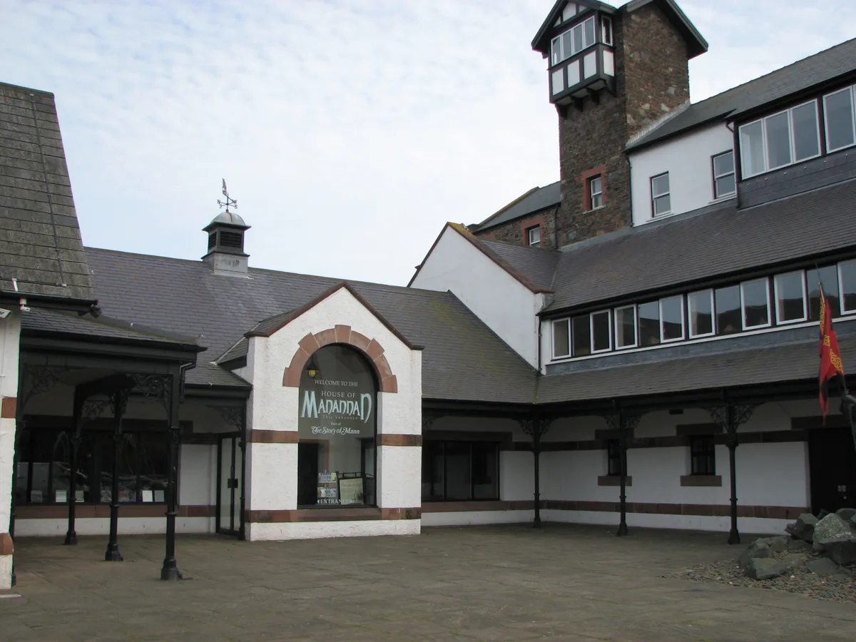
House of Manannan
House of Manannan — museum in the Isle of Man.
 📷 3
📷 3Theme parks · North West England
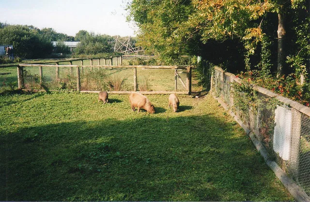
Curraghs Wildlife Park
Curraghs Wildlife Park — Wildlife park in the Isle of Man.
More places in this region
 Flagship📷 3
Islands · North West England
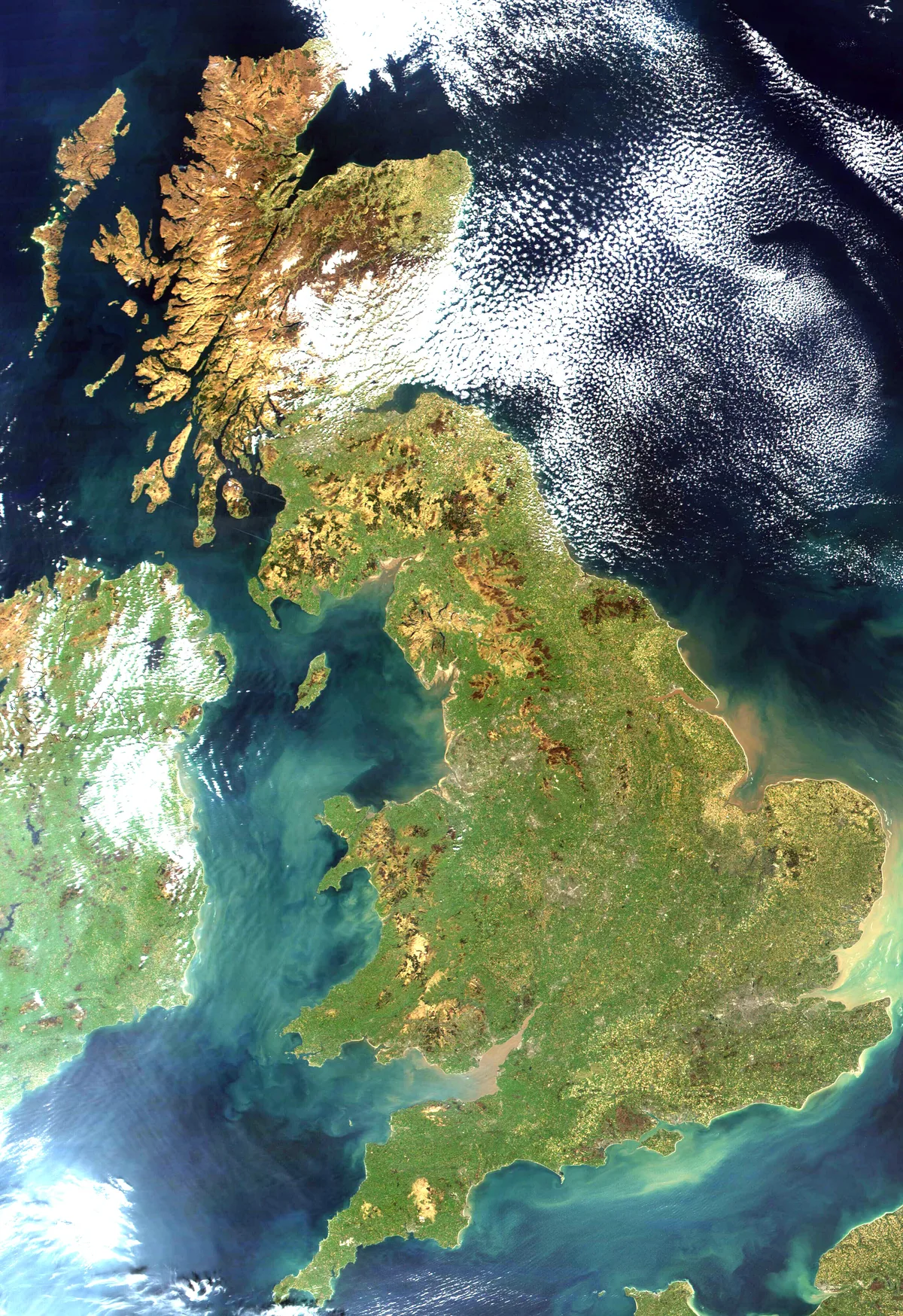
Great Britain
Great Britain — island in the North Atlantic Ocean off the northwest coast of continental Europe.
 Flagship📷 3
Islands · North West England
Piel Island
Piel Island — island in United Kingdom.
 Flagship📷 3
Islands · North West England
Roa Island
Roa Island — island in Morecambe Bay, Cumbria, England, UK.
 Flagship📷 5
Islands · North West England
Walney Island
Walney Island — island in Cumbria, England, UK.
Frequently asked questions
- Where is Chicken Rock?
- Chicken Rock is in North West England, in the United Kingdom — coordinates 54.0378°, -4.8386°.
- Is Chicken Rock free to visit?
- Yes — admission to Chicken Rock is free.