Natural landmarks · South East England
Chart Gunpowder Mill
Chart Gunpowder Mill — a other in england-south-east, United Kingdom.

S Westerman — CC BY-SA 2.0 via Wikimedia Commons licence
Plan your visit
- Typical visit
- 1 h–2 h
- Free entry
- Family-friendly
- Dog-friendly
About
Chart Gunpowder Mill is a other located in england-south-east, United Kingdom. Sourced from OpenStreetMap (ODbL licence); see local listings for visitor information, opening hours and admission details.
Photo gallery
Place summary
Chart Gunpowder Mill is located in South-East England. This historical site is notable for its industrial heritage, reflecting the significance of gunpowder production in Britain's past.
AI-generated from the structured facts on this page (operator, designation, listing, era). Not a substitute for visiting.
- Coordinates
- 51.3148, 0.8823
- County
- Kent
- District
- Swale
- Parish
- Faversham
- Postcode
- ME13 7SE
- Parliamentary constituency
- Faversham and Mid Kent
- Opening
- Sa,Su 14:00-17:00
- Official site
- favershamsociety.org
Sources
- osm: node/350238637 (ODbL)
Other places nearby
Loading nearby places…
Nearby
 ★ Iconic📷 10
Breweries · South East England
Shepherd Neame
Britain's oldest brewer, in Faversham since 1698.
.jpg?width=1200) 📷 5
📷 5Holy wells · South East England
Wall And Postern Gate To East Of Davington Priory
Wall And Postern Gate To East Of Davington Priory — wall in Faversham, Swale, Kent, England, UK.
 📷 5
📷 5Museums · South East England
Davington Priory
Davington Priory was a priory on the north Kent coast of England. It sits on Davington Hill, now a northern suburb of Faversham but then an isolated rural location.
 📷 5
📷 5Manor houses · South East England
Davington Manor
Davington Manor — Grade II listed building-listed manor in england-south-east, United Kingdom.
 📷 5
📷 5Escape rooms · South East England
Clever Dilemma Escape Room & VR Centre
Clever Dilemma Escape Room & VR Centre — a escape room in england-south-east, United Kingdom.
 📷 5
📷 5Museums · South East England
Fleur de Lis Heritage Centre
Fleur de Lis Heritage Centre — a museum in england-south-east, United Kingdom.
More natural landmarks in this region
 📷 5
📷 5Natural landmarks · South East England
Bexhill Rotary Club Coin Collector
Bexhill Rotary Club Coin Collector — Public artwork (sculpture) by Jordan Whitewood-Neal and Michael Whiting.
 📷 5
📷 5Natural landmarks · South East England
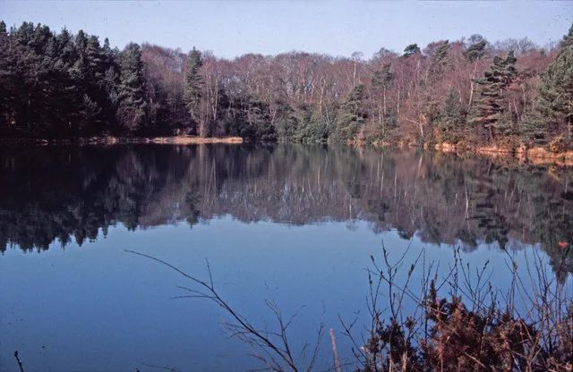
Blue Pool
Blue Pool — lake in Dorset, England, UK.
 📷 5
📷 5Natural landmarks · South East England
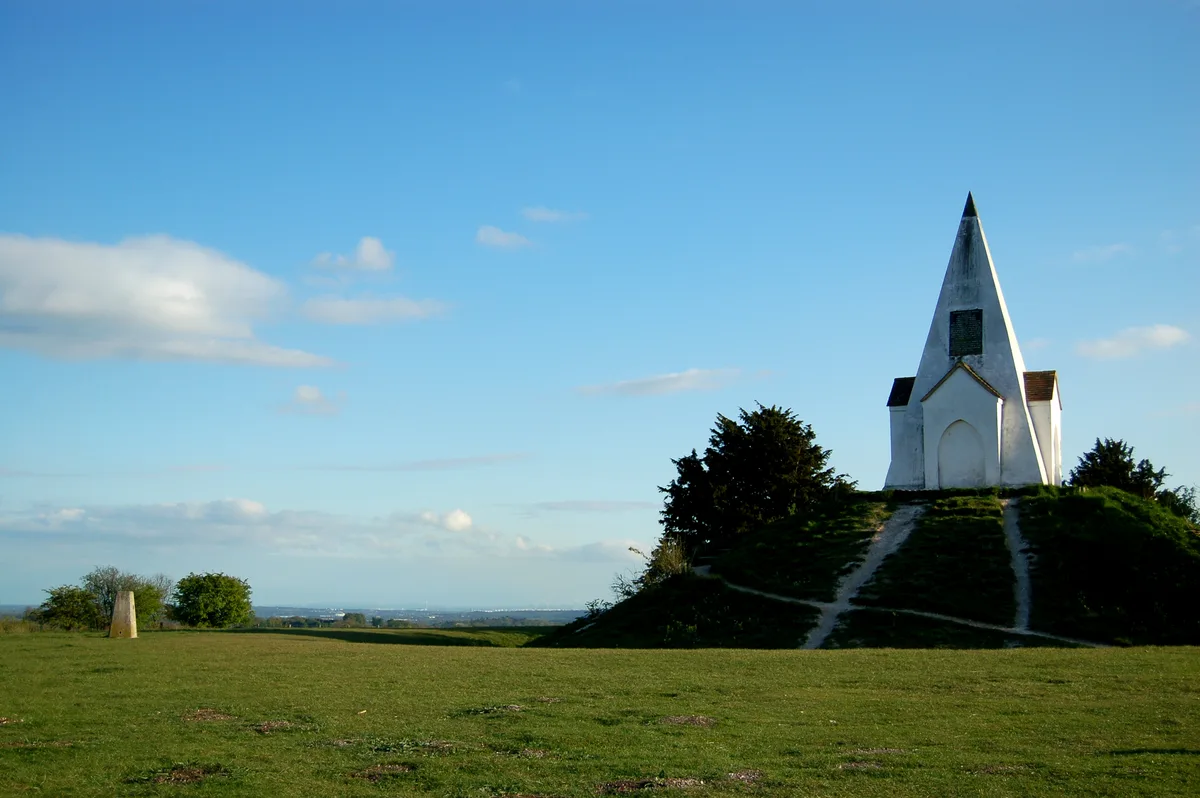
Farley Mount
Farley Mount — hill in Hampshire, United Kingdom.
 📷 5
📷 5Natural landmarks · South East England
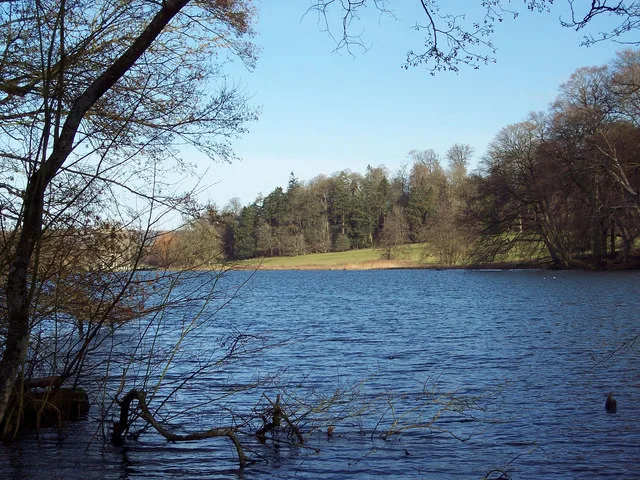
Fonthill Lake
Fonthill Lake — lake in Wiltshire, England, UK.
Frequently asked questions
- Where is Chart Gunpowder Mill?
- Chart Gunpowder Mill is in Kent, South-East England, United Kingdom (postcode ME13 7SE), in the parish of Faversham.
- Is Chart Gunpowder Mill free to visit?
- Yes, Chart Gunpowder Mill is free to enter.
- How do I get to Chart Gunpowder Mill?
- Drivers can navigate to postcode ME13 7SE. It sits within the Faversham and Mid Kent parliamentary constituency.