Viewpoints · Scottish Highlands
Chanonry Point
Also known as: Rubha na Cananaich
Chanonry Point is a viewpoint in the United Kingdom.

Wikimedia Commons contributors — see linked file page for photographer and licence licence
Plan your visit
- Typical visit
- 20 min–45 min
- Best time of year
- Clear days year-round
- Nearest railway station
- Inverness Airport · 5.0 km
- Free entry
- Dog-friendly
About
Chanonry Point is a named viewpoint in the United Kingdom. Also known as: Rubha na Cananaich. Coordinates: 57.5741°, -4.0918°. This entry is part of The Great Britain Guide, a free, ad-free, open-data tourist directory.
Photo gallery
From the Wikipedia article
Chanonry Point (Scottish Gaelic: Rubha na Cananaich) lies at the end of Chanonry Ness, a spit of land extending into the Moray Firth between Fortrose and Rosemarkie on the Black Isle, Scotland.
Excerpt from Wikipedia under CC BY-SA 4.0. See the source article linked in Sources below.
- Coordinates
- 57.5741, -4.0918
- District
- Highland
- Postcode
- IV10 8SD
- Parliamentary constituency
- Caithness, Sutherland and Easter Ross
- Nearest railway station
- Inverness Airport — 5 km
Sources
- osm: n429637701 (ODbL)
- wikipedia: Chanonry Point (CC BY-SA 4.0)
- commons: Chanonry Point2006-11.jpg (CC BY-SA 4.0)
Other places nearby
Loading nearby places…
Nearby
 📷 3
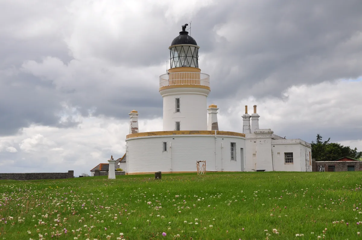
📷 3Lighthouses · Scottish Highlands
Chanonry Point Lighthouse
Chanonry Point Lighthouse — lighthouse in Highland, Scotland, UK.
 📷 5
📷 5Piers · Scottish Highlands
Jetty, Chanonry Point
Jetty, Chanonry Point — category C listed building-listed pier in scotland-highlands, United Kingdom.
 📷 3
📷 3Memorials & monuments · Scottish Highlands
Brahan Seer's Stone
Brahan Seer's Stone — a memorial in scotland-highlands, United Kingdom.
 📷 3
📷 3Memorials & monuments · Scottish Highlands
Salerno Platoon National Servicemen Memorial
Salerno Platoon National Servicemen Memorial — a memorial in scotland-highlands, United Kingdom.
 📷 3
📷 3Memorials & monuments · Scottish Highlands
Seaforth Highlanders and Cameron Highlanders Liberation of Waalwijk Memorial
Seaforth Highlanders and Cameron Highlanders Liberation of Waalwijk Memorial — a memorial in scotland-highlands, United Kingdom.
Caravan parks · Scottish Highlands
Fortrose Bay Campsite
Fortrose Bay Campsite — a caravan park in scotland highlands.
More viewpoints in this region
 📷 3
📷 3Viewpoints · Scottish Highlands
Achtercairn
Achtercairn is a viewpoint in the United Kingdom.
 📷 3
📷 3Viewpoints · Scottish Highlands
An Ceann Mòr - Inveruglas Pyramid
An Ceann Mòr - Inveruglas Pyramid is a viewpoint in the United Kingdom.
 📷 3
📷 3Viewpoints · Scottish Highlands
An Torr
An Torr is a viewpoint in the United Kingdom.
 📷 3
📷 3Viewpoints · Scottish Highlands
Balmashanner Hill
Balmashanner Hill is a viewpoint in the United Kingdom.
Frequently asked questions
- Where is Chanonry Point?
- Chanonry Point is in the Scottish Highlands, United Kingdom (postcode IV10 8SD).
- Is Chanonry Point free to visit?
- Yes, Chanonry Point is free to enter.
- How do I get to Chanonry Point?
- The nearest railway station is Inverness Airport, about 5.0 km away. Drivers can navigate to postcode IV10 8SD.