Towns & cities · West Midlands
Chalfont St Giles
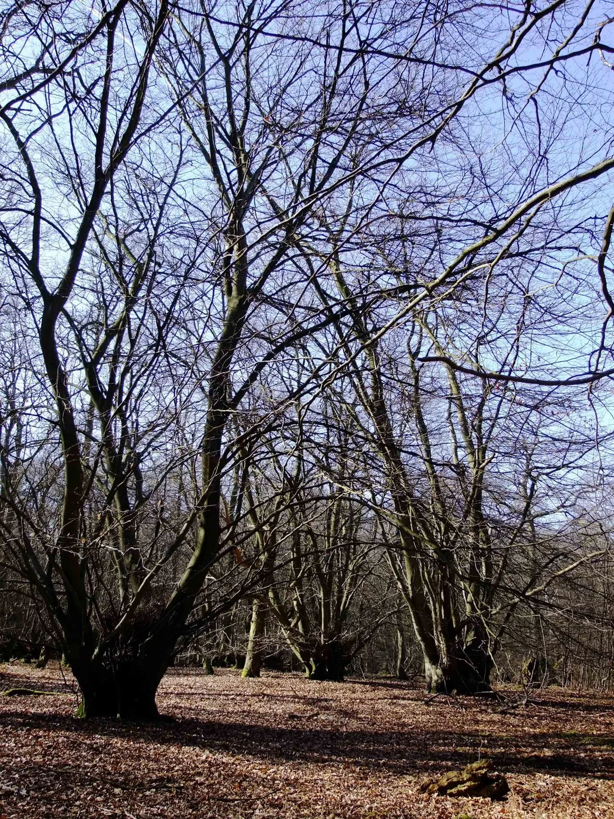
Chalfont St Giles — village and civil parish in Buckinghamshire, England.
.jpg?width=1200)
Wikimedia Commons contributors — see linked file page for photographer and licence licence
.jpg)
Plan your visit
- Typical visit
- 3 h–6 h
- Nearest railway station
- Seer Green and Jordans · 3.3 km
- Free entry
- Family-friendly
- Dog-friendly
About
Chalfont St Giles is a town, city, village or settlement in the United Kingdom. Recent population estimates put it at around 5,905 people. Address: HP8. Wikidata describes it as: "village and civil parish in Buckinghamshire, England". Coordinates: 51.6320°, -0.5760°.
Photo gallery
Protected designations
- Area of Outstanding Natural Beauty: Chilterns
Designations sourced from Natural England open data under OGL v3.
From the Wikipedia article
Chalfont St Giles is a village and civil parish in southeast Buckinghamshire, England. It is in a group of villages called The Chalfonts, which also includes Chalfont St Peter and Little Chalfont. It lies on the edge of the Chiltern Hills, 20.9 miles (33.6 km) west-northwest of Charing Cross, central London, and near Seer Green, Jordans, Chalfont St Peter, Little Chalfont and Amersham. The cockney rhyming slang term "chalfonts", meaning haemorrhoids (piles), is derived from the name of the village. The village has a duck pond that is fed by the River Misbourne. The village sign was designed and painted by Doreen Wilcockson ARCA in 2001. Chalfont St Giles is famous for the poet Milton’s only surviving home.
Excerpt from Wikipedia under CC BY-SA 4.0. See the source article linked in Sources below.
Background
History
In the Domesday Book of 1086, Chalfont St Giles and Chalfont St Peter were listed as separate Manors with different owners, called 'Celfunte', which is likely derived from "cealc funta" - the Old English for chalk stream. They were separate holdings before the Norman Conquest. The Church of England parish church of Saint Giles is of Norman architecture and dates from the 12th century. The church features a lychgate and wall paintings from the early 14th century. During the English Civil War, some iron cannonballs were embedded in the stonework around the east window; they were believed to have been fired by Oliver Cromwell's troops when camped in the neighbouring field after the Battle of…
Sourced from Wikipedia under CC BY-SA 4.0.
- Coordinates
- 51.6320, -0.5760
- District
- Buckinghamshire
- Parish
- Chalfont St Giles
- Postcode
- HP8
- Parliamentary constituency
- Chesham and Amersham
- Population
- 5,905
- Nearest railway station
- Seer Green and Jordans — 3.3 km
- Official site
- www.chalfontstgiles.org.uk
Sources
- wikidata: Q1170470 (CC0)
- wikipedia: Chalfont St Giles (CC BY-SA 4.0)
- commons: Chalfont St Giles (7311004032).jpg (CC BY-SA 4.0)
Other places nearby
Loading nearby places…
Nearby
 📷 3
📷 3Museums · West Midlands
Milton's Cottage
Milton's Cottage — a museum in england-west-midlands, United Kingdom.
 📷 3
📷 3Historic churches · West Midlands
Parish Church of St Giles, Chalfont St Giles
Parish Church of St Giles, Chalfont St Giles — church in Chiltern, UK.
 📷 4
📷 4Memorials & monuments · West Midlands
Riverside Path
Riverside Path — a memorial in england-west-midlands, United Kingdom.
 📷 3
📷 3Cemeteries · West Midlands
Bowstridge Lane Cemetery
Bowstridge Lane Cemetery is a cemetery in the United Kingdom.
Campsites · West Midlands
Highclere Farm Campsite
Highclere Farm Campsite — a campsite in england west midlands.
 📷 3
📷 3Archaeological sites · West Midlands
Hodgemoor Wood
Hodgemoor Wood — biological Site of Special Scientific Interest in Chalfont St Giles in Buckinghamshire, England.
More towns in this region
 Flagship📷 3
Towns & cities · West Midlands
Adderbury
Adderbury — village and civil parish in Cherwell district, Oxfordshire, England.
 Flagship📷 3
Towns & cities · West Midlands
Admington
Admington — village in Warwickshire, England, UK.
 Flagship📷 3
Towns & cities · West Midlands
Aldington
Aldington — village in Worcestershire, United Kingdom.
 Flagship📷 5
Towns & cities · West Midlands
Anstey
Anstey — large village in Leicestershire, England.
Frequently asked questions
- Where is Chalfont St Giles?
- Chalfont St Giles is in the West Midlands, United Kingdom (postcode HP8), in the parish of Chalfont St Giles.
- Is Chalfont St Giles a protected site?
- Yes — Chalfont St Giles is part of the Chilterns National Landscape (AONB).
- Is Chalfont St Giles free to visit?
- Yes, Chalfont St Giles is free to enter.
- How do I get to Chalfont St Giles?
- The nearest railway station is Seer Green and Jordans, about 3.3 km away. Drivers can navigate to postcode HP8.