Hill forts · North Wales
Cefn yr Ogof
Also known as: Cefn Ogo
Cefn yr Ogof — hill (204.4m) in Conwy County Borough.

Wikimedia Commons contributors — see linked file page for photographer and licence licence
Plan your visit
- Typical visit
- 1 h–2 h
- Nearest railway station
- Abergele and Pensarn · 3.3 km
- Free entry
- Dog-friendly
About
Cefn yr Ogof is a hill fort in the United Kingdom. Wikidata describes it as: "hill (204.4m) in Conwy County Borough". Coordinates: 53.2816°, -3.6273°.
Photo gallery
From the Wikipedia article
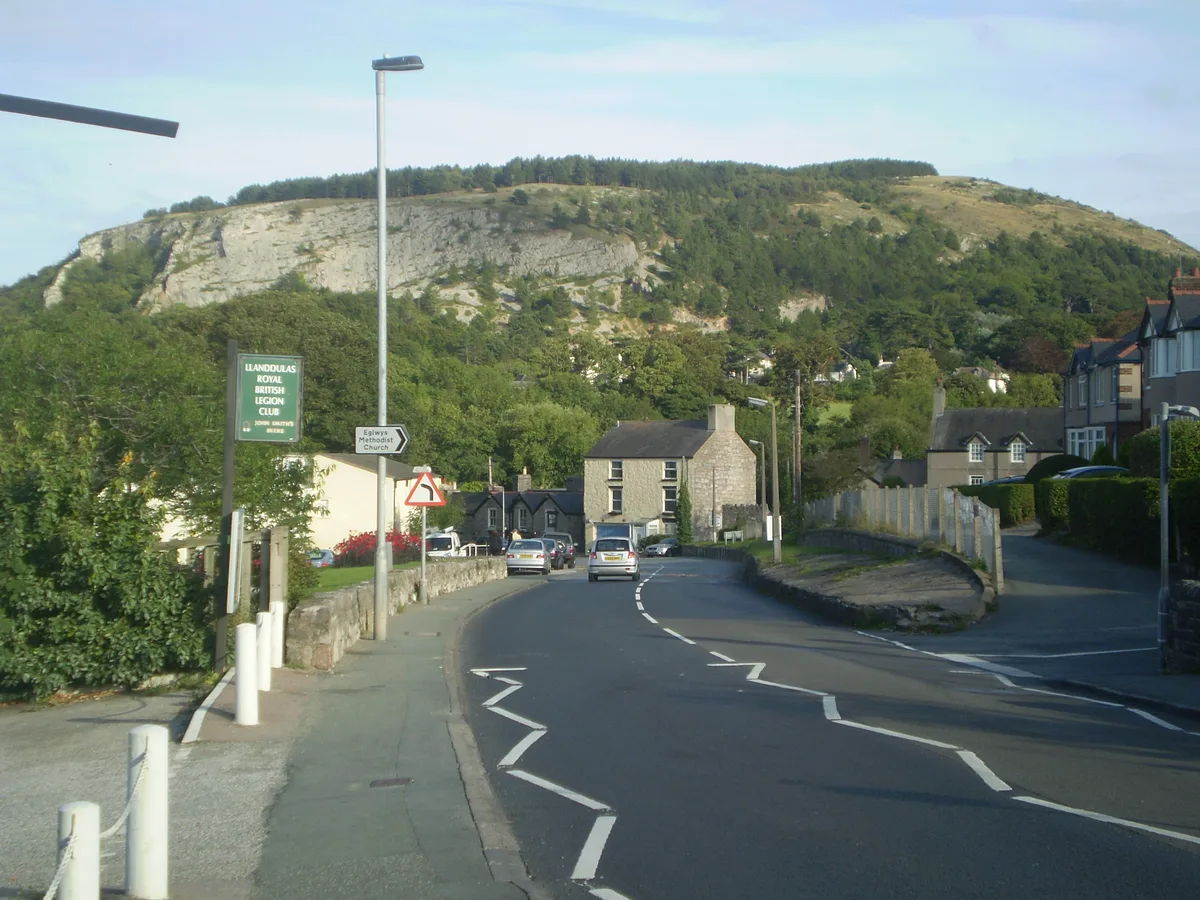
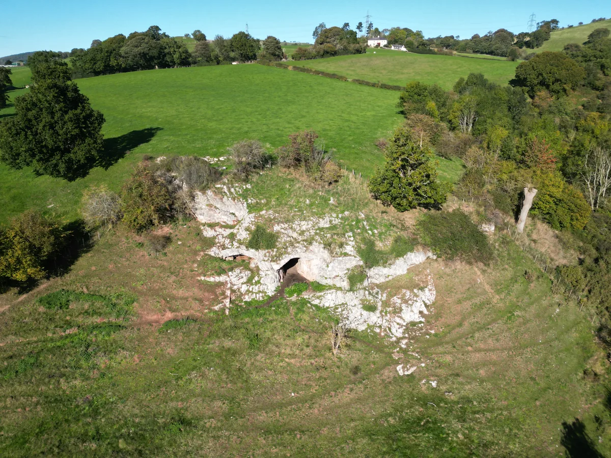
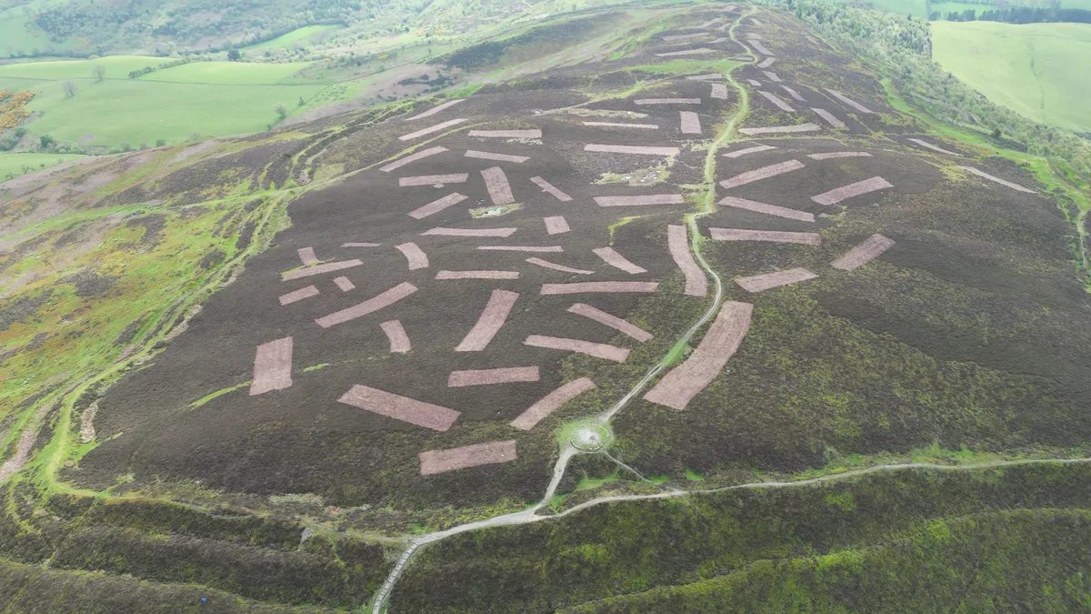
Cefn yr Ogof is the highest point of the hill to the west of Gwrych Castle near Abergele and Llanddulas. Ownership of the hillside is divided into three categories; an area managed by Welsh National Resources on behalf of the National Assembly of Wales, private ownership including the land immediately around Gwrych Castle and the western slopes which are predominantly common land and therefore open access. It is 204 m (669 ft) high, with views towards the Clwydian Hills, Denbigh Moors, (Mynydd Hiraethog) Snowdonia, the Great Orme, Anglesey and the Dulas valley. The name refers to the caves located on the hill. It has recently been promoted to HuMP status, having a prominence of over 100 metres. Large parts of Cefn yr Ogof are designated an SSSI.
Excerpt from Wikipedia under CC BY-SA 4.0. See the source article linked in Sources below.
- Coordinates
- 53.2816, -3.6273
- District
- Conwy
- Parish
- Llanddulas and Rhyd-y-Foel
- Postcode
- LL22 8EG
- Parliamentary constituency
- Clwyd North
- Nearest railway station
- Abergele and Pensarn — 3.3 km
Sources
- wikidata: Q5057277 (CC0)
- wikipedia: Cefn yr Ogof (CC BY-SA 4.0)
- commons: Cefn-yr-ogof from llanddulas.jpg (CC BY-SA 4.0)
Other places nearby
Loading nearby places…
Nearby
 📷 3
📷 3Mountains & hills · North Wales
Cefn Yr Ogof
Cefn Yr Ogof — Named summit at 204 m.
 📷 3
📷 3Castles · North Wales
Gwyrch Castle Northern Towers
Gwyrch Castle Northern Towers — a castle in wales-north, United Kingdom.
Vineyards · North Wales
Pen y corddyn Mawr
Pen y corddyn Mawr — a UK vineyard in wales north, producing English or Welsh wine from cool-climate grape varieties.
 📷 3
📷 3Hill forts · North Wales
Pen-y-Corddyn Mawr Hillfort
Pen-y-Corddyn Mawr Hillfort — a hill fort in wales-north, United Kingdom.
 📷 4
📷 4Mountains & hills · North Wales
Craig y Forwyn
Craig y Forwyn — a mountain in wales-north, United Kingdom, 190 m.
📷 3Mountains & hills · North Wales
Pen-y-corddwyn-mawr
Pen-y-corddwyn-mawr — a mountain in wales-north, United Kingdom, 175 m.
More places in this region
 📷 3
📷 3Hill forts · North Wales
Ffynnon Beuno and Cae Gwyn Caves
Ffynnon Beuno and Cae Gwyn Caves — Site of Special Scientific Interest in Wales.
 📷 5
📷 5Hill forts · North Wales
Penycloddiau
Penycloddiau — hillfort primarily located in Ysceifiog community, Flintshire.
 📷 5
📷 5Hill forts · North Wales
Barclodiad y Gawres
Barclodiad y Gawres — neolithic burial chamber in Anglesey, Wales, UK.
 📷 3
📷 3Hill forts · North Wales
Bodowyr Burial Chamber
Bodowyr Burial Chamber — Neolithic burial chamber in Llanidan, Anglesey, Wales, UK.
Frequently asked questions
- Where is Cefn yr Ogof?
- Cefn yr Ogof is in North Wales, United Kingdom (postcode LL22 8EG), in the parish of Llanddulas and Rhyd-y-Foel.
- Is Cefn yr Ogof free to visit?
- Yes, Cefn yr Ogof is free to enter.
- How do I get to Cefn yr Ogof?
- The nearest railway station is Abergele and Pensarn, about 3.3 km away. Drivers can navigate to postcode LL22 8EG.