Hill forts · East Midlands
Castrum Branodunum
Castrum Branodunum is a hill fort in the United Kingdom.

Wikimedia Commons contributors — see linked file page for photographer and licence licence
-_aerial_2018_(1)_(geograph_5773220).jpg)
Plan your visit
- Typical visit
- 1 h–2 h
- Free entry
- Family-friendly
- Dog-friendly
About
Castrum Branodunum is a hill fort in the United Kingdom. Part of Saxon Shore. Coordinates: 52.9639°, 0.6519°. This entry is part of The Great Britain Guide, a free, ad-free, open-data tourist directory.
Photo gallery
Protected designations
- Site of Special Scientific Interest: North Norfolk Coast SSSI
- Area of Outstanding Natural Beauty: Norfolk Coast
- Ramsar wetland: North Norfolk Coast
Designations sourced from Natural England open data under OGL v3.
From the Wikipedia article
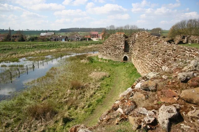
Branodunum was an ancient Roman fort to the east of the modern English village of Brancaster in Norfolk.
Excerpt from Wikipedia under CC BY-SA 4.0. See the source article linked in Sources below.
Background
History
view of the site of Branodunum]] The fort, built in the 230s, became later part of the eleven forts along the south and east coasts of England, known as the Saxon Shore fortification system built during the 3rd millennium AD. It was built to guard the Wash approaches and is of a typical rectangular castrum layout. According to the 4th-century document Notitia Dignitatum, the fort was garrisoned by the Equites Dalmatae Brandodunenses ("Dalmatian cavalry of Bran[d]odunum"), although a tile found on the site stamped Cohors I Aquitanorum suggests that its original garrison was the "First cohort from Aquitania". There is possible evidence (burials and grave goods) of later Anglo-Saxon use of the…
Sourced from Wikipedia under CC BY-SA 4.0.
- Coordinates
- 52.9639, 0.6519
- County
- Norfolk
- District
- King's Lynn and West Norfolk
- Parish
- Brancaster
- Postcode
- PE31 8XD
- Parliamentary constituency
- North West Norfolk
Sources
- wikidata: Q1735340 (CC0)
- wikipedia: Branodunum (CC BY-SA 4.0)
- commons: Brancaster Fort (Branodunum)- aerial 2018 (1) (geograph 5773220).jpg (CC BY-SA 4.0)
Other places nearby
Loading nearby places…
Nearby
 📷 3
📷 3Archaeological sites · East Midlands
Branodunum Roman Fort (Site of)
Branodunum Roman Fort (Site of) — a archaeological in england-east-midlands, United Kingdom.
 📷 3
📷 3Archaeological sites · East Midlands
Branodunum Roman Fort
Branodunum Roman Fort — a other in england-east-midlands, United Kingdom.
Caravan parks · East Midlands
The Croft Caravan Park
The Croft Caravan Park — a caravan park in england east midlands.
Caravan parks · East Midlands
Lifeboat Caravan Park
Lifeboat Caravan Park — a caravan park in england east midlands.
 📷 3
📷 3Memorials & monuments · East Midlands
Brancaster War Memorial
Brancaster War Memorial is a memorial in the United Kingdom.
 📷 3
📷 3Public art & sculpture · East Midlands
Brancaster Staithe Village Sign
Brancaster Staithe Village Sign — a public art in england-east-midlands, United Kingdom.
More places in this region
 📷 3
📷 3Hill forts · East Midlands
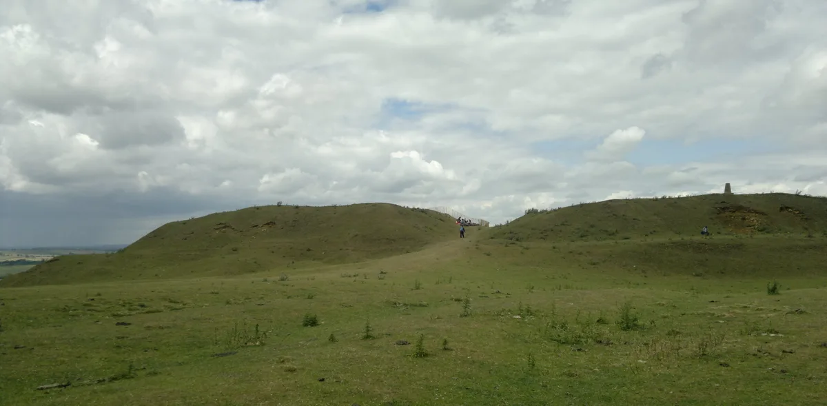
Burrough Hill
Burrough Hill — Iron Age hill fort in Leicestershire, England, UK.
 📷 5
📷 5Hill forts · East Midlands
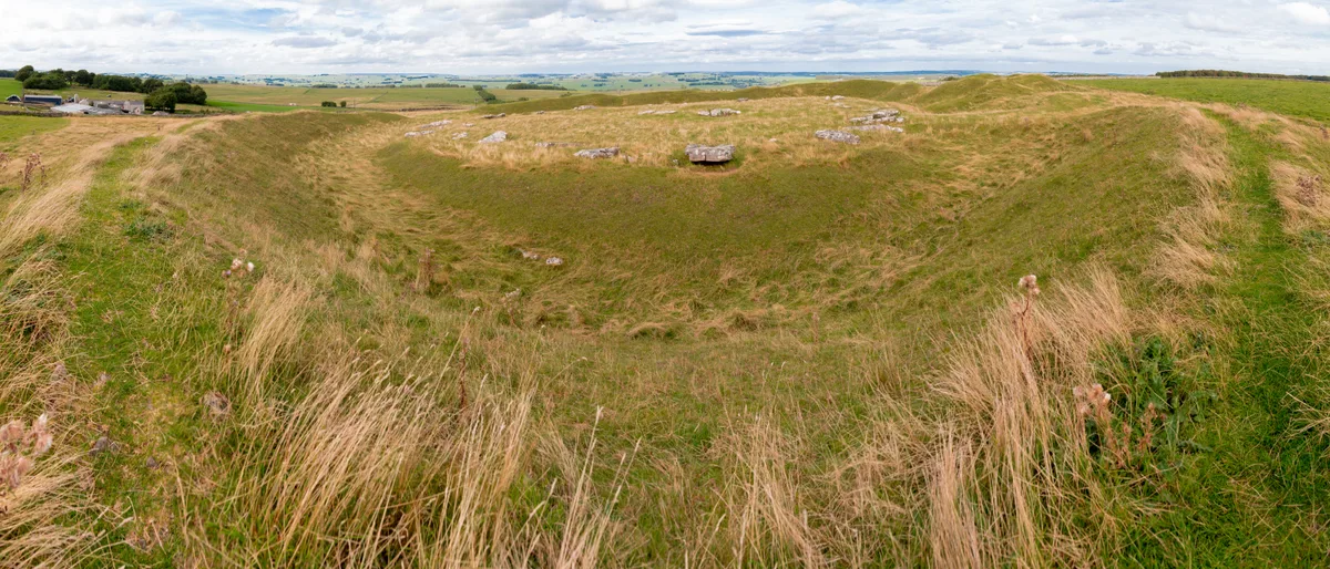
Arbor Low
Arbor Low — Neolithic henge monument.
 📷 5
📷 5Hill forts · East Midlands
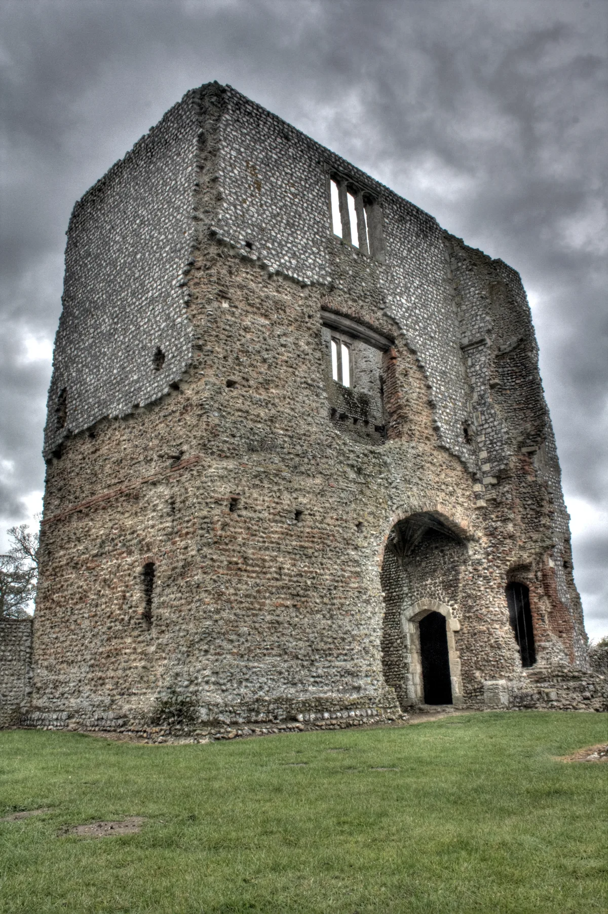
Baconsthorpe Castle
Baconsthorpe Castle — Grade I listed castle in Norfolk, England, UK.
 📷 5
📷 5Hill forts · East Midlands
Bolingbroke Castle
Bolingbroke Castle — castle in Bolingbroke, England.
Frequently asked questions
- Where is Castrum Branodunum?
- Castrum Branodunum is in Norfolk, the East Midlands, United Kingdom (postcode PE31 8XD), in the parish of Brancaster.
- Is Castrum Branodunum a protected site?
- Yes — Castrum Branodunum is part of the North Norfolk Coast SSSI Site of Special Scientific Interest and the Norfolk Coast National Landscape (AONB).
- Is Castrum Branodunum free to visit?
- Yes, Castrum Branodunum is free to enter.
- How do I get to Castrum Branodunum?
- Drivers can navigate to postcode PE31 8XD. It sits within the North West Norfolk parliamentary constituency.