Museums · East Midlands
Carlton, Nottinghamshire
Carlton is a town in the Borough of Gedling, Nottinghamshire, England. It is to the east of Nottingham. The population at the 2011 Census was 6,881. It was an urban district until 1974, whose wards (C

Alan Murray-Rust — CC BY-SA 2.0 via Wikimedia Commons licence
Plan your visit
- Typical visit
- 1.5 h–3 h
- Best time of year
- Year-round
- Family-friendly
- Limited wheelchair access
About
Carlton is a town in the Borough of Gedling, Nottinghamshire, England. It is to the east of Nottingham. The population at the 2011 Census was 6,881. It was an urban district until 1974, whose wards (Carlton Hill, Carlton, Cavendish, Colwick, Gedling, Netherfield, Phoenix and Porchester) had a population of 53,555 according to the 2021–2022 United Kingdom censuses. Owing to the growth of residential, commercial and industrial in the wider Gedling borough, City of Nottingham, Broxtowe, Rushcliffe and Ashfield, as well as the Amber Valley and Erewash in Derbyshire which have become quite urban around Nottingham, Carlton and Gedling, as well as Netherfield form a contiguous urban area.
Photo gallery
From the Wikipedia article
Carlton is a town in the Borough of Gedling, Nottinghamshire, England. It is to the east of Nottingham. The population at the 2011 Census was 6,881. It was an urban district until 1974, whose wards (Carlton Hill, Carlton, Cavendish, Colwick, Gedling, Netherfield, Phoenix and Porchester) had a population of 53,555 according to the 2021–2022 United Kingdom censuses. Owing to the growth of residential, commercial and industrial in the wider Gedling borough, City of Nottingham, Broxtowe, Rushcliffe and Ashfield, as well as the Amber Valley and Erewash in Derbyshire which have become quite urban around Nottingham, Carlton and Gedling, as well as Netherfield form a contiguous urban area.
Excerpt from Wikipedia under CC BY-SA 4.0. See the source article linked in Sources below.
Background
History
In the Domesday Book of 1086, Carlton is referred to as Carentune. The town grew significantly in the 19th century, largely due to the textile industry, which was a significant driver of its development. In the early days, Carlton was a small township within the manor and parish of Gedling, home to farmers and framework knitters. Its strategic location on the edge of Nottingham and proximity to railways led to a steady increase in the population from the 1840s. By 1850, Carlton had evolved into a suburban settlement, with its own housing, churches, schools, and other facilities. The establishment of the Carlton Urban District Council in 1849 marked a significant milestone, recognising the…
Sourced from Wikipedia under CC BY-SA 4.0.
- Coordinates
- 52.9670, -1.0880
- County
- Nottinghamshire
- District
- Gedling
- Parish
- Gedling, unparished area
- Postcode
- NG4 1SR
- Parliamentary constituency
- Gedling
- Official site
- www.gedling.gov.uk
Sources
- wikipedia: Carlton, Nottinghamshire (CC BY-SA 4.0)
Other places nearby
Loading nearby places…
Nearby
 📷 3
📷 3Historic churches · East Midlands
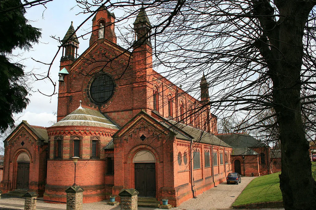
St. Paul's Church, Carlton-in-the-Willows
St. Paul's Church, Carlton-in-the-Willows — grade II listed church in Gedling, Nottinghamshire, England, UK.
 📷 3
📷 3Cemeteries · East Midlands
Carlton Cemetery
Carlton Cemetery is a cemetery in the United Kingdom.
 📷 5
📷 5Museums · East Midlands
Netherfield, Nottinghamshire
Netherfield is a town in the Borough of Gedling in Nottinghamshire, England. It is situated to the east of Nottingham's city boundary and is approximately 3 miles (4.8 km) between Colwick and Carlton
 📷 3
📷 3Memorials & monuments · East Midlands
Gedling Miners' Memorial
Gedling Miners' Memorial — a memorial in england-east-midlands, United Kingdom.
 📷 3
📷 3Historic churches · East Midlands
Church of All Hallows, Gedling
Church of All Hallows, Gedling — Grade I listed building-listed church in england-east-midlands, United Kingdom.
 📷 5
📷 5Museums · East Midlands
Borough of Gedling
Gedling is a local government district with borough status in Nottinghamshire, England. The council is based in Arnold. The borough also includes Carlton along with villages and rural areas to the nor
More museums in this region
 📷 3
📷 3Museums · East Midlands
6 Former Filter Beds, Water Tank With Gazebo, And Steps At Swithland Reservoir Water Works
6 Former Filter Beds, Water Tank With Gazebo, And Steps At Swithland Reservoir Water Works — architectural ensemble in Quorndon, Charnwood, Leicestershire, England, UK.
 📷 3
📷 3Museums · East Midlands
Abbeydale Industrial Hamlet
Abbeydale Industrial Hamlet — hamlet and industrial museum in Sheffield, UK.
 📷 3
📷 3Museums · East Midlands
Alstonefield Geohut
Alstonefield Geohut — museum in Alstonefield, Staffordshire, England, UK.
 📷 3
📷 3Museums · East Midlands
Ashby de la Zouch Museum
Ashby de la Zouch Museum — local museum in Ashby de la Zouch, Leicestershire, United Kingdom.
Frequently asked questions
- Where is Carlton, Nottinghamshire?
- Carlton, Nottinghamshire is in East Midlands, in the United Kingdom — coordinates 52.9670°, -1.0880°.
- Is Carlton, Nottinghamshire wheelchair accessible?
- Partially — OpenStreetMap notes limited wheelchair access at Carlton, Nottinghamshire. Check ahead for specific facilities.