Natural landmarks · Scottish Lowlands
Cairnsmore of Fleet
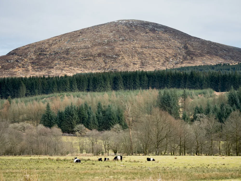
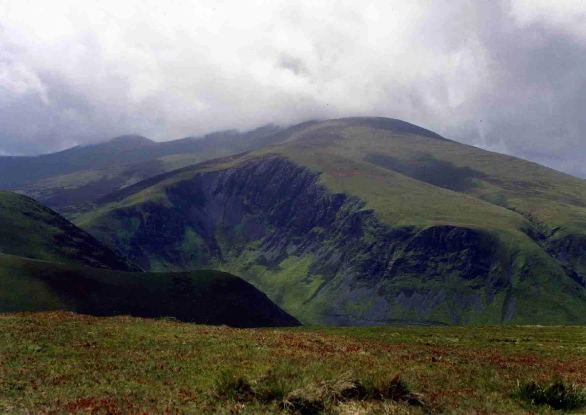
Cairnsmore of Fleet — mountain in Dumfries and Galloway, Scotland, UK.

Wikimedia Commons contributors — see linked file page for photographer and licence licence
Plan your visit
- Typical visit
- 1 h–2 h
- Free entry
- Dog-friendly
About
Cairnsmore of Fleet is a named natural landmark in the United Kingdom. Part of Southern Uplands. Wikidata describes it as: "mountain in Dumfries and Galloway, Scotland, UK". Coordinates: 54.9754°, -4.3416°.
Photo gallery
From the Wikipedia article
Cairnsmore of Fleet is an isolated mountain in the Southern Uplands of Scotland. The mountain forms an unafforested granite massif, whose highest point is about ten kilometres (six miles) east of Newton Stewart. It is the highest of the "Solway Hills" sub-range, and the southernmost of Scotland's 219 Grahams, thus making it, or rather its subsidiary top, Knee of Cairnsmore, the most southerly mountain in Scotland. The view to the south takes in the Cree Estuary and Wigtown Bay, and extends as far as the Lake District, the Isle of Man and Snowdonia. The highest summits of the Galloway Hills can be seen to the north, and Ireland is in the view to the west. It is home to the most extensive area of open moorland in Galloway, and has been designated as a Site of Special Scientific Interest (SSSI). The summit and eastern flanks of the mountain (an area of 1,922 hectares) are designated as a national nature reserve, which is managed by NatureScot. Cairnsmore of Fleet lies in the south of the council area Dumfries and Galloway, and in the historic county of the Stewartry of Kirkcudbright.
Excerpt from Wikipedia under CC BY-SA 4.0. See the source article linked in Sources below.
Background
History
The earliest evidence of human occupation at Cairnsmore of Fleet dates to the Bronze Age: sites showing evidence of the cultivation of land on the southern side of the mountain and cairns on the summit all date from this period. During the 18th and early 19th centuries land use changed with the clearance of small tenants during the process of enclosure. The population in the area dropped as the main activity became sheep farming, with small numbers of shepherds looking after large flocks. Hunting also declined, and the mining of minerals (chiefly lead) commenced. The latter part of the 19th century saw the arrival of the Portpatrick and Wigtownshire Railway, which opened in 1860: the…
Visiting
The usual route of ascent is the "Tourist Route", which is one of the most popular hikes in Galloway. It starts in the south-west, near Stronord, before climbing through the Bardrochwood Moor forest on to the summit. The Cairnsmore estate, near the start of this path, is the location mentioned in John Buchan's 1915 thriller The Thirty-nine Steps. Another route reaches the summit from the south, starting near the NNR visitor centre. This takes in the subsidiary summits of the Knee of Cairnsmore and Meikle Mulltaggart to form a circular route on the eastern side of the mountain. include Craignelder, Loch Grannoch and the Clints of Dromore. National Cycle Route 7 runs to the south of…
Sourced from Wikipedia under CC BY-SA 4.0.
- Coordinates
- 54.9754, -4.3416
- Address
- Dumfries and Galloway, Scotland
Sources
- wikidata: Q5017736 (CC0)
- wikipedia: Cairnsmore of Fleet (CC BY-SA 4.0)
- commons: Cairnsmore of Fleet from the west.jpg (CC BY-SA 4.0)
Other places nearby
Loading nearby places…
Nearby
 📷 3
📷 3Memorials & monuments · Scottish Lowlands
Air Crash Memorial
Air Crash Memorial — a memorial in scotland-lowlands, United Kingdom.
 📷 5
📷 5Mountains & hills · Scottish Lowlands
Cairnsmore of Fleet
Cairnsmore of Fleet — Named summit at 711 m.
 📷 3
📷 3Archaeological sites · Scottish Lowlands
Machars Hill, Motte
Machars Hill, Motte — a archaeological in scotland-lowlands, United Kingdom.
 📷 3
📷 3Memorials & monuments · Scottish Lowlands
Memorial to Maggie
Memorial to Maggie — a memorial in scotland-lowlands, United Kingdom.
 📷 5
📷 5Historic bridges · Scottish Lowlands
Bargaly Bridge
Bargaly Bridge — category C listed building-listed bridge in scotland-lowlands, United Kingdom.
Mountain bike trails · Scottish Lowlands
Kirroughtree Black Loop
Kirroughtree Black Loop — a mtb trail in scotland lowlands.
More natural landmarks in this region
 Flagship📷 3
Natural landmarks · Scottish Lowlands
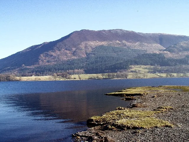
Bassenthwaite Lake
Bassenthwaite Lake — lake in Cumbria, England, UK.
 Flagship📷 3
Natural landmarks · Scottish Lowlands
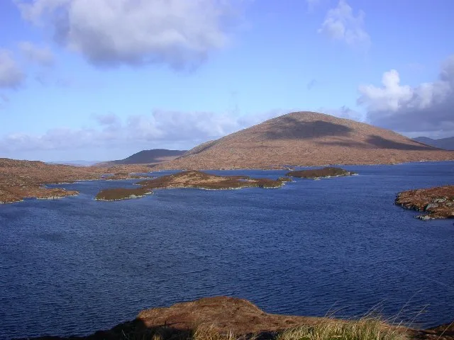
Loch Enoch
Loch Enoch — lake in Dumfries and Galloway, Scotland, UK.
 📷 5
📷 5Natural landmarks · Scottish Lowlands
Annandale Water
Annandale Water — lake in Dumfries and Galloway, Scotland, UK.
 📷 3
📷 3Natural landmarks · Scottish Lowlands
Bakestall
Bakestall — mountain in United Kingdom.
Frequently asked questions
- Where is Cairnsmore of Fleet?
- Cairnsmore of Fleet is in Scottish Lowlands, in the United Kingdom — coordinates 54.9754°, -4.3416°.
- Is Cairnsmore of Fleet free to visit?
- Yes — admission to Cairnsmore of Fleet is free.