Mountains & hills · Mid Wales
Caer Caradoc
Caer Caradoc — Named summit at 459 m.

Wikimedia Commons contributors — see linked file page for photographer and licence licence
Plan your visit
- Typical visit
- 3 h–8 h
- Best time of year
- Late spring – early autumn (May–Oct)
- Nearest railway station
- Church Stretton · 2.8 km
- Free entry
- Dog-friendly
About
Caer Caradoc is a named summit in the United Kingdom. Wikidata describes it as: "Named summit at 459 m.". Coordinates: 52.5539°, -2.7720°.
Photo gallery
Protected designations
- Area of Outstanding Natural Beauty: Shropshire Hills
Designations sourced from Natural England open data under OGL v3.
From the Wikipedia article
Caer Caradoc (Welsh: Caer Caradog, the fort of Caradog) is a hill in the English county of Shropshire. It overlooks the town of Church Stretton and the village of All Stretton and offers panoramic views to the north towards the Wrekin, east to Wenlock Edge, and west over the nearby Long Mynd. It is not to be confused with another hillfort of the same name 1 km west of Chapel Lawn near Bucknell. Caer Caradoc rises sharply out of a narrow valley known as the Stretton Gap. It is the highest point on a high, narrow, northeast–southwest "whaleback ridge", sometimes called a hogsback ridge. The Wrekin is a very similarly shaped hill and on the same alignment, some 10 miles (16 km) to the north-east. Caer Caradoc can be fairly easily climbed from Church Stretton but the ascent/descent is steep; a more gentle climb is from the village of Cardington, which lies two miles (3 km) east. Much of the hill is composed from volcanic rocks, like the Wrekin and other hills, formed of narrow ridges of resistant Precambrian rock thrust upwards by movements deep down along the Church Stretton Fault. This fault line runs from Staffordshire in England to Pembrokeshire in Wales and can be seen on Ordnance Survey maps as a line of springs on this hill. The summit has an Ancient British Iron Age or late Bronze Age hill fort. It is this which the hill is named after – Caer Caradog in Welsh meaning Caradog's fort. Local legend has it that this was the site of Caratacus' last battle against the Roman legions during the Roman conquest of Britain, and that after the battle he hid in the cave near its summit. However, there is no river nearby and Tacitus refers to a river in his description of the site.
Excerpt from Wikipedia under CC BY-SA 4.0. See the source article linked in Sources below.
- Coordinates
- 52.5539, -2.7720
- District
- Shropshire
- Parish
- Church Stretton
- Postcode
- SY6 6JN
- Parliamentary constituency
- South Shropshire
- Nearest railway station
- Church Stretton — 2.8 km
Sources
- osm: n270666596 (ODbL)
- wikipedia: Caer Caradoc (CC BY-SA 4.0)
- commons: Caer Caradoc - 2007-04-15.jpg (CC BY-SA 4.0)
Featured in this guide
Other places nearby
Loading nearby places…
Nearby
Vineyards · Mid Wales
Caer Caradoc
Caer Caradoc — a UK vineyard in wales mid, producing English or Welsh wine from cool-climate grape varieties.
 📷 3
📷 3Historic houses · Mid Wales
Cwms Cottage
Cwms Cottage — a historic house in wales-mid, United Kingdom.
Campsites · Mid Wales
Barnfield Farm Camping
Barnfield Farm Camping — a campsite in wales mid.
 📷 3
📷 3Memorials & monuments · Mid Wales
All Stretton War Memorial
All Stretton War Memorial — Grade II listed building-listed memorial in wales-mid, United Kingdom.
 📷 3
📷 3Castles · Mid Wales
Worsley Castle Hill
Worsley Castle Hill — scheduled monument-listed castle in wales-mid, United Kingdom.
Hostels · Mid Wales
All Stretton Bunkhouse
All Stretton Bunkhouse — a hostel in wales mid.
More mountains in this region
 📷 3
📷 3Mountains & hills · Mid Wales
Black Hill
Black Hill — Named summit at 640 m.
 📷 3
📷 3Mountains & hills · Mid Wales
Black Mixen
Black Mixen — Named summit at 650 m.
 📷 5
📷 5Mountains & hills · Mid Wales
Cadair Idris
Cadair Idris — Named summit at 893 m.
 📷 3
📷 3Mountains & hills · Mid Wales
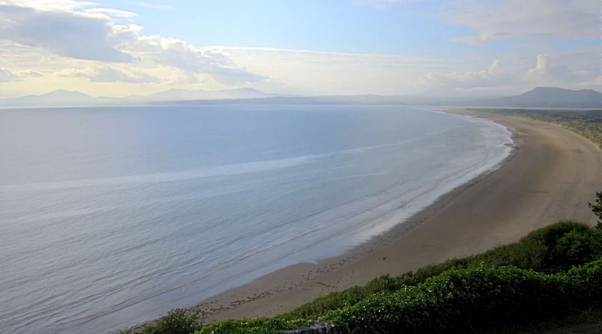
Cardigan Bay
Cardigan Bay is a mountain or hill in the United Kingdom.
Frequently asked questions
- Where is Caer Caradoc?
- Caer Caradoc is in Mid Wales, United Kingdom (postcode SY6 6JN), in the parish of Church Stretton.
- Is Caer Caradoc a protected site?
- Yes — Caer Caradoc is part of the Shropshire Hills National Landscape (AONB).
- Is Caer Caradoc free to visit?
- Yes, Caer Caradoc is free to enter.
- How do I get to Caer Caradoc?
- The nearest railway station is Church Stretton, about 2.8 km away. Drivers can navigate to postcode SY6 6JN.