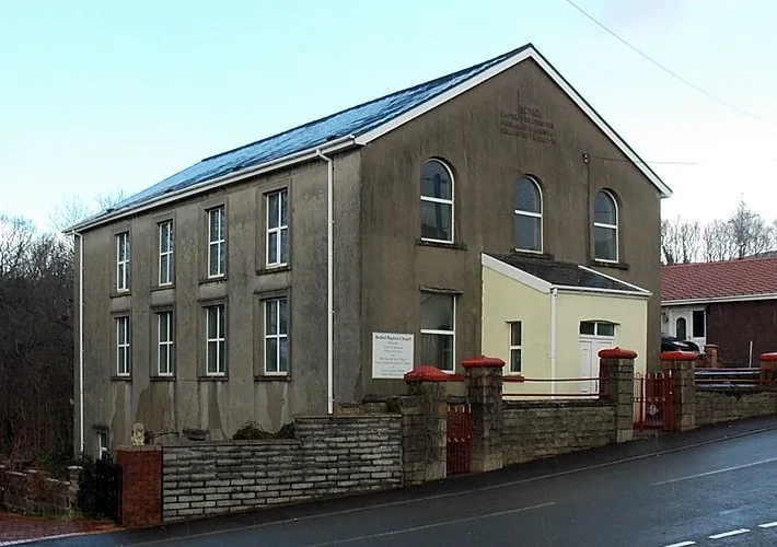
Historic churches · South Wales
Bwlch
Bwlch (Welsh for 'a pass') (Welsh pronunciation: [ˈbʊlχ]) is a village and an electoral ward in the community of Cwmdu and District, Powys, south Wales. The settlement is strung out along the A40 road

Jaggery — CC BY-SA 2.0 via Wikimedia Commons licence
Plan your visit
- Typical visit
- 30 min–1 h
- Free entry
About
Bwlch (Welsh for 'a pass') (Welsh pronunciation: [ˈbʊlχ]) is a village and an electoral ward in the community of Cwmdu and District, Powys, south Wales. The settlement is strung out along the A40 road which crosses a low col above the Usk Valley at this point on its route between Brecon and Crickhowell.
Photo gallery
From the Wikipedia article
Bwlch (Welsh for 'a pass') (Welsh pronunciation: [ˈbʊlχ]) is a village and an electoral ward in the community of Cwmdu and District, Powys, south Wales. The settlement is strung out along the A40 road which crosses a low col above the Usk Valley at this point on its route between Brecon and Crickhowell.
Excerpt from Wikipedia under CC BY-SA 4.0. See the source article linked in Sources below.
Background
History
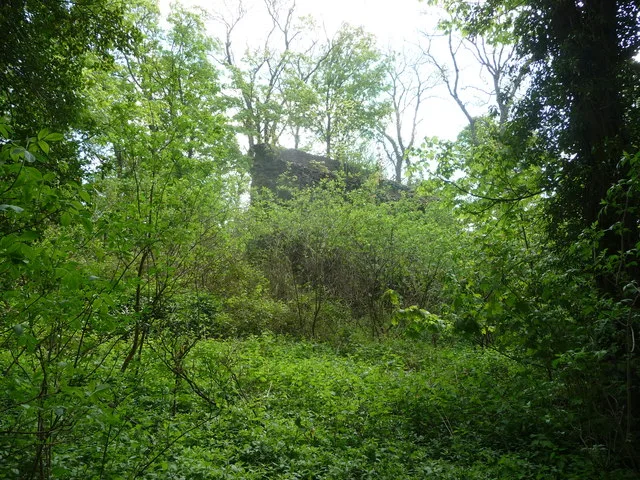
The remains of a defensive enclosure on the slopes of Cefn Moel to the north of the village date from prehistoric times. There is also a standing stone of unknown origin and purpose set alone in a field within the hairpin of the A40 road. A further standing stone of similarly unknown age is found at Llygad Wy on the slopes dropping down eastwards below the A40. Rising from the Roman auxiliary fort at Pen-y-gaer, east of the village, the Romans constructed a road between Abergavenny and Brecon which passed through the col before crossing the slopes of Allt yr Esgair. The pass was formerly known as Bwlch'r Allwys and was once guarded by Blaenllynfi Castle, a Norman castle, now a ruin. Three…
Sourced from Wikipedia under CC BY-SA 4.0.
- Coordinates
- 51.8900, -3.2370
- District
- Powys
- Parish
- Cwmdu and District
- Postcode
- LD3 7RQ
- Parliamentary constituency
- Brecon, Radnor and Cwm Tawe
- Official site
- www.neighbourhood.statistics.gov.uk
Sources
- wikipedia: Bwlch (CC BY-SA 4.0)
Other places nearby
Loading nearby places…
Nearby
Hostels · South Wales
Star Inn Bunkhouse
Star Inn Bunkhouse — a hostel in wales south.
Hostels · South Wales
Beacons Backpackers
Beacons Backpackers — a hostel in wales south.
 📷 3
📷 3Stone circles · South Wales
Bwlch Standing Stone
Bwlch Standing Stone — a stone circle in wales-south, United Kingdom.
 📷 5
📷 5Memorials & monuments · South Wales
Bwlch War Memorial
Bwlch War Memorial — Grade II listed building-listed memorial in wales-south, United Kingdom.
 📷 3
📷 3Castles · South Wales
Blaenllyfni Castle
Blaenllyfni Castle — scheduled monument in Wales.
 📷 3
📷 3Castles · South Wales
Blaenllynfi Castle
Blaenllynfi Castle — a castle in wales-south, United Kingdom.
More places in this region
 📷 3
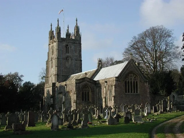
📷 3Historic churches · South Wales
All Saints Church, Wraxall
All Saints Church, Wraxall — church in Wraxall, North Somerset, England, UK.
 📷 4
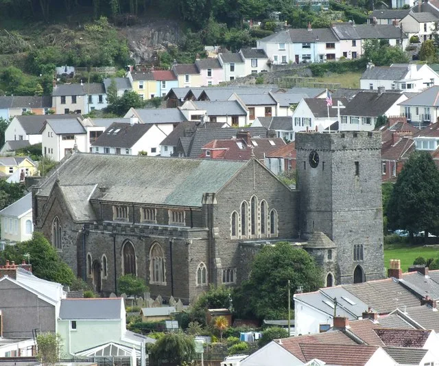
📷 4Historic churches · South Wales
All Saints' Church
All Saints' Church — church in Oystermouth, Swansea, Wales.
 📷 3
📷 3Historic churches · South Wales
Bethania Presbyterian Church
Bethania Presbyterian Church — Calvinistic Methodist chapel in Aberdare.
 📷 3
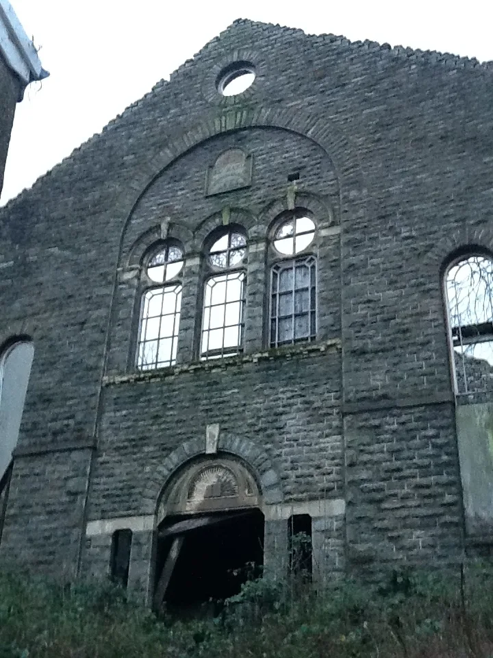
📷 3Historic churches · South Wales
Bethel, Abernant
Bethel, Abernant — church in Rhondda Cynon Taf, UK.
Frequently asked questions
- Where is Bwlch?
- Bwlch is in South Wales, United Kingdom (postcode LD3 7RQ), in the parish of Cwmdu and District.
- Is Bwlch free to visit?
- Yes, Bwlch is free to enter.
- How do I get to Bwlch?
- Drivers can navigate to postcode LD3 7RQ. It sits within the Brecon, Radnor and Cwm Tawe parliamentary constituency.