Cemeteries · North West England
Burnley Cemetery
Also known as: Burnley
Burnley Cemetery is a cemetery in the United Kingdom.

robert wade — CC BY-SA 2.0 via Wikimedia Commons licence
Plan your visit
- Typical visit
- 30 min–1 h
- Nearest railway station
- Rose Grove · 0.6 km
- Free entry
- Dog-friendly
About
Burnley Cemetery is a named cemetery in the United Kingdom. Coordinates: 53.7805°, -2.2829°. This entry is part of The Great Britain Guide, a free, ad-free, open-data tourist directory.
Photo gallery
From the Wikipedia article
Burnley () is a town and the administrative centre of the wider Borough of Burnley in Lancashire, England, with a 2021 population of 78,266. It is 21 miles (34 km) north of Manchester and 20 miles (32 km) east of Preston, at the confluence of the River Calder and River Brun. The town is located near the countryside to the south and east, with the towns of Padiham and Brierfield to the west and north respectively. It has a reputation as a regional centre of excellence for the manufacturing and aerospace industries. The town began to develop in the early medieval period as a number of farming hamlets surrounded by manor houses and royal forests, and has held a market for more than 700 years. During the Industrial Revolution it became one of Lancashire's most prominent mill towns; at its peak, it was one of the world's largest producers of cotton cloth and a major centre of engineering. Burnley has retained a strong manufacturing sector, and has strong economic links with the cities of Manchester and Leeds, as well as neighbouring towns along the M65 corridor. In 2013, in recognition of its success, it received an Enterprising Britain award from the UK Government as the Most Enterprising Area in the UK. For the first time in more than 50 years, a direct train service now operates between the town's Manchester Road railway station and Manchester's Victoria station and onward to Headbolt Lane via the restored Todmorden Curve, which opened in May 2015.
Excerpt from Wikipedia under CC BY-SA 4.0. See the source article linked in Sources below.
Background
History
Stone Age flint tools and weapons have been found on the moors around the town, as have numerous tumuli, stone circles, and some hill forts (see: Castercliff, which dates from around 600 BC). Modern-day Back Lane, Stump Hall Lane and Noggarth Road broadly follow the route of a classic ridgeway running east–west to the north of the town, suggesting that the area was populated during pre-history and probably controlled by the Brigantes. Limited coin finds indicate a Roman presence, but no evidence of a settlement has been found in the town. Gorple Road (running east from Worsthorne) appears to follow the route of a Roman road that may have crossed the present-day centre of town, on the way to…
Sourced from Wikipedia under CC BY-SA 4.0.
- Coordinates
- 53.7805, -2.2829
- County
- Lancashire
- District
- Burnley
- Parish
- Habergham Eaves
- Postcode
- BB11 5UB
- Parliamentary constituency
- Burnley
- Nearest railway station
- Rose Grove — 0.6 km
- Official site
- burnley.co.uk
Sources
Other places nearby
Loading nearby places…
Nearby
 📷 3
📷 3Public art & sculpture · North West England
Desmond Family Canoe Trail
Desmond Family Canoe Trail — a public art in england-north-west, United Kingdom.
Hotels · North West England
Travelodge
Travelodge — a hotel in england north west.
 📷 3
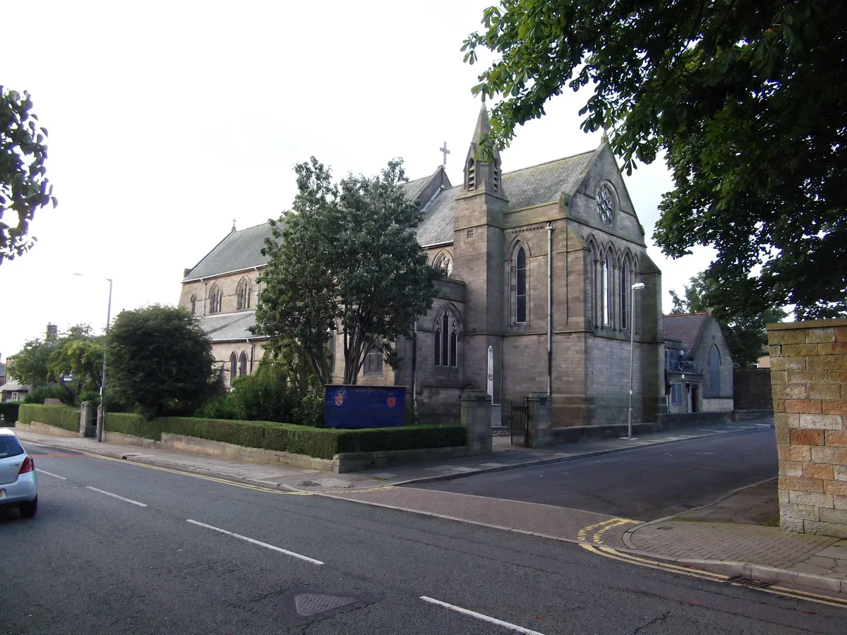
📷 3Historic churches · North West England
St Matthew's Church, Burnley
St Matthew's Church, Burnley — church in United Kingdom.
 📷 3
📷 3Memorials & monuments · North West England
Habergham Eaves War Memorial
Habergham Eaves War Memorial — Grade II listed building-listed memorial in england-north-west, United Kingdom.
 📷 3
📷 3Historic bridges · North West England
Canal Bridge Number 121
Canal Bridge Number 121 — Grade II listed building-listed bridge in england-north-west, United Kingdom.
📷 5Castles · North West England
Hapton, Lancashire
Hapton, Lancashire — a castle in england-north-west, United Kingdom.
More cemeteries in this region
 📷 4
📷 4Cemeteries · North West England
Accrington Cemetery
Accrington Cemetery is a cemetery in the United Kingdom.
 📷 3
📷 3Cemeteries · North West England
Agecroft Cemetery
Agecroft Cemetery is a cemetery in the United Kingdom.
 📷 5
📷 5Cemeteries · North West England
Barrowford Cemetery
Barrowford Cemetery is a cemetery in the United Kingdom.
 📷 3
📷 3Cemeteries · North West England
Blackley Crematorium
Blackley Crematorium is a cemetery in the United Kingdom.
Frequently asked questions
- Where is Burnley Cemetery?
- Burnley Cemetery is in North West England, in the United Kingdom — coordinates 53.7805°, -2.2829°. The nearest railway station is Rose Grove, around 0.6 km away.
- Is Burnley Cemetery free to visit?
- Yes — admission to Burnley Cemetery is free.