Reservoirs & lochs · Scottish Lowlands
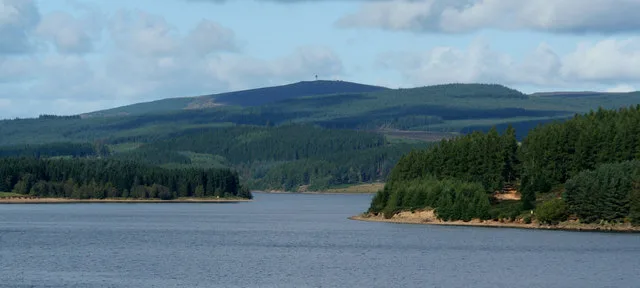
Burnhope Reservoir
Burnhope Reservoir — lake in the United Kingdom.

Wikimedia Commons contributors — see linked file page for photographer and licence licence
Plan your visit
- Typical visit
- 1 h–2.5 h
- Free entry
- Dog-friendly
About
Burnhope Reservoir is a reservoir in the United Kingdom. Wikidata describes it as: "lake in the United Kingdom". Coordinates: 54.7444°, -2.2444°.
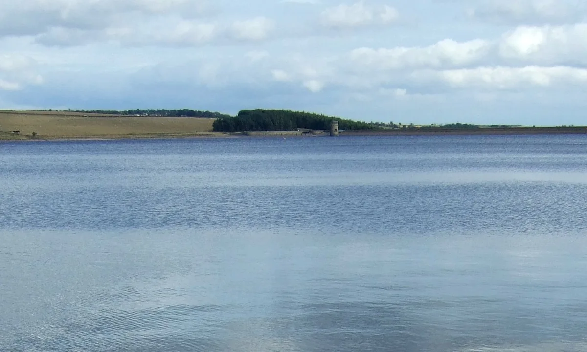
Photo gallery
Protected designations
- Area of Outstanding Natural Beauty: North Pennines
Designations sourced from Natural England open data under OGL v3.
From the Wikipedia article
Burnhope Reservoir ( BUUN-əp) is a reservoir above the village of Wearhead, County Durham, England. The reservoir was created by the construction of an earth embankment dam across the valley of Burnhope Burn, a tributary of the River Wear, 1 kilometre (0.62 mi) above Wearhead. Construction of the dam began in 1931 and was completed in 1937; an extensive network of narrow gauge railways, the Burnhope Reservoir railway, was used during the construction of the dam. Filling of the reservoir commenced in 1936 and resulted in the drowning of the former village of Burnhope. Burnhope Reservoir was a joint project of the Durham County Water Board and the Sunderland and South Shields Water Company. It is now owned and operated by Northumbrian Water. The reservoir supplies water to the Wear Valley treatment works at Wearhead and there is a pipeline connection to Waskerley Reservoir, which supplies Honey Hill water treatment works. The reservoir serves as the source to meet regulated discharges into the River Wear and to compensate for abstraction of water at Chester-le-Street further downstream.
Excerpt from Wikipedia under CC BY-SA 4.0. See the source article linked in Sources below.
- Coordinates
- 54.7444, -2.2444
- District
- County Durham
- Parish
- Stanhope
- Postcode
- DL13 1DJ
- Parliamentary constituency
- Bishop Auckland
- Official site
- www.britishdams.org
Sources
- wikidata: Q4999766 (CC0)
- wikipedia: Burnhope Reservoir (CC BY-SA 4.0)
- commons: Burnhope Reservoir - geograph.org.uk - 270675.jpg (CC BY-SA 4.0)
Other places nearby
Loading nearby places…
Nearby
 📷 3
📷 3Reservoirs & lochs · North East England
Far High House Meadows
Far High House Meadows in England North East, United Kingdom.
 📷 3
📷 3Historic houses · Scottish Lowlands
Former Limekiln
Former Limekiln — a historic house in scotland-lowlands, United Kingdom.
 📷 4
📷 4Other places · North East England
Wearhead
Wearhead in England North East, United Kingdom.
 📷 4
📷 4Heritage railway stations · North East England
Wearhead railway station
Wearhead railway station in England North East, United Kingdom.
 📷 4
📷 4Memorials & monuments · North East England
Cowshill
Cowshill in England North East, United Kingdom.
📷 4Other places · North East England
Copthill
Copthill in England North East, United Kingdom.
More places in this region
 Flagship📷 5
Reservoirs & lochs · Scottish Lowlands
Kielder Water
Kielder Water — reservoir in Northumberland, England, UK, on the River North Tyne.
 Flagship📷 3
Reservoirs & lochs · Scottish Lowlands
Q1200405
Q1200405 — reservoir on the border between County Durham and Northumberland, in England.
 📷 3
📷 3Reservoirs & lochs · Scottish Lowlands
Alemoor Reservoir
Alemoor Reservoir — reservoir lake in Scottish Borders, Scotland, UK, on Ale Water.
 📷 3
📷 3Reservoirs & lochs · Scottish Lowlands
Aucha Lochy
Aucha Lochy — reservoir on Kintyre, Argyll and Bute, Scotland, UK, outflows south to Auchalochy Burn.
Frequently asked questions
- Where is Burnhope Reservoir?
- Burnhope Reservoir is in the Scottish Lowlands, United Kingdom (postcode DL13 1DJ), in the parish of Stanhope.
- Is Burnhope Reservoir a protected site?
- Yes — Burnhope Reservoir is part of the North Pennines National Landscape (AONB).
- How do I get to Burnhope Reservoir?
- Drivers can navigate to postcode DL13 1DJ. It sits within the Bishop Auckland parliamentary constituency.