Historic churches · West Midlands
Burnage
Burnage is an area of Manchester, in Greater Manchester, England, 4 miles (6.4 km) south of the city centre and bisected by Kingsway. The population at the 2011 census was 15,227. It lies within the G

Anthony Parkes — CC BY-SA 2.0 via Wikimedia Commons licence
Plan your visit
- Typical visit
- 30 min–1 h
- Free entry
About
Burnage is an area of Manchester, in Greater Manchester, England, 4 miles (6.4 km) south of the city centre and bisected by Kingsway. The population at the 2011 census was 15,227. It lies within the Greater Manchester Metropolitan area, in the historic county of Lancashire, between Withington to the west, Levenshulme to the north, Heaton Chapel to the east and Didsbury and Heaton Mersey to the south.
Photo gallery
From the Wikipedia article
Burnage is an area of Manchester, in Greater Manchester, England, 4 miles (6.4 km) south of the city centre and bisected by Kingsway. The population at the 2011 census was 15,227. It lies within the Greater Manchester Metropolitan area, in the historic county of Lancashire, between Withington to the west, Levenshulme to the north, Heaton Chapel to the east and Didsbury and Heaton Mersey to the south.
Excerpt from Wikipedia under CC BY-SA 4.0. See the source article linked in Sources below.
- Coordinates
- 53.4258, -2.2108
- District
- Manchester
- Parish
- Manchester, unparished area
- Postcode
- M19 1NG
- Parliamentary constituency
- Gorton and Denton
Sources
- wikipedia: Burnage (CC BY-SA 4.0)
Other places nearby
Loading nearby places…
Nearby
📷 5Theatres · West Midlands
Concorde Cinema
Concorde Cinema — a cinema heritage in england-west-midlands, United Kingdom.
 📷 5
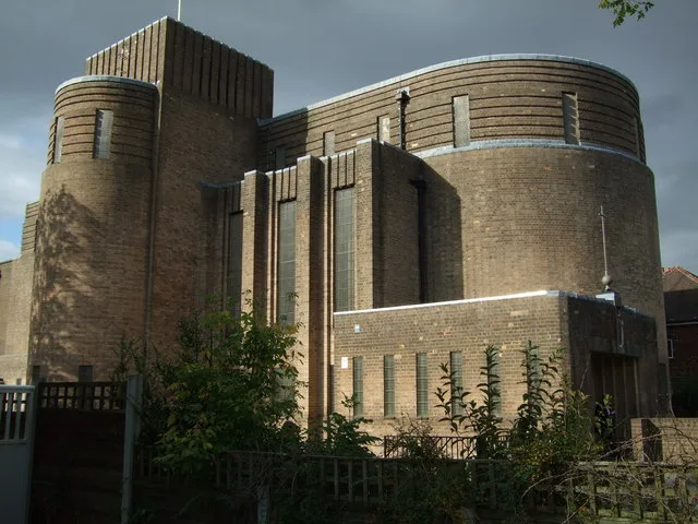
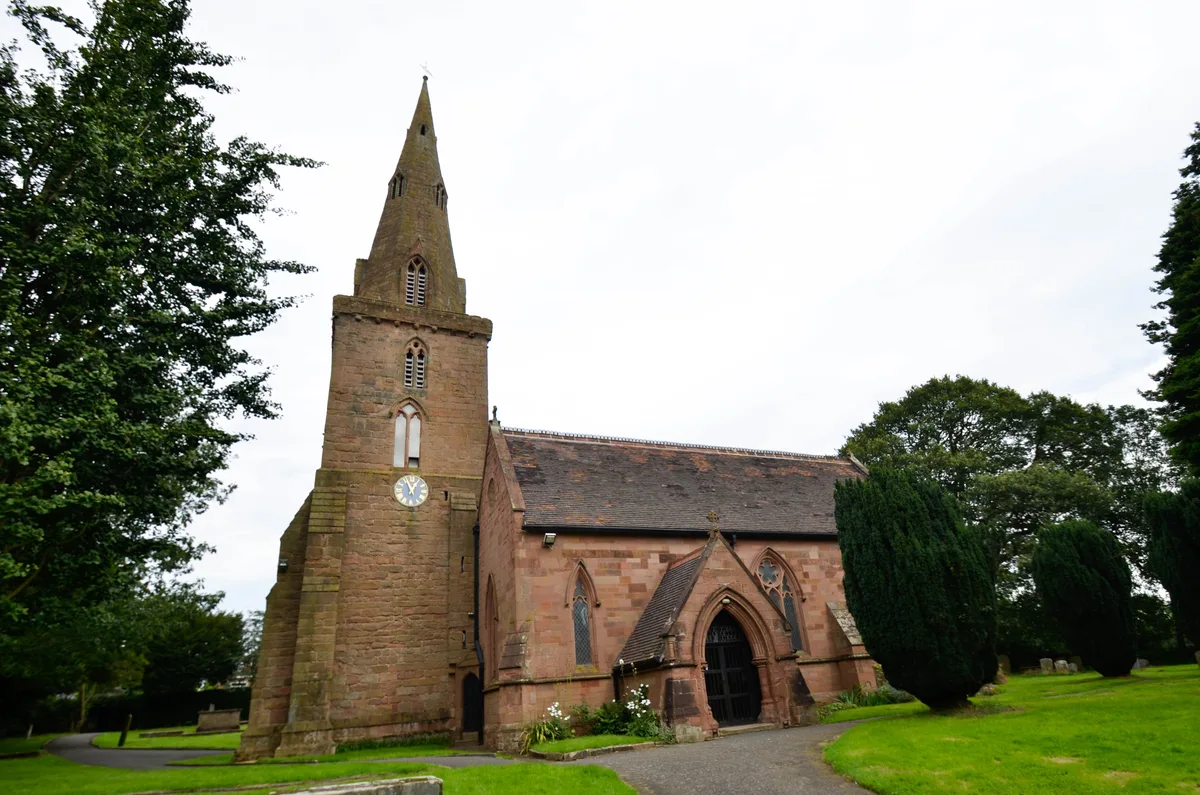
📷 5Historic churches · West Midlands
Church of St Nicholas, Burnage
Church of St Nicholas, Burnage — church in Manchester, UK.
 📷 3
📷 3Country parks · West Midlands
Ladybarn Park
Ladybarn Park — urban park in Withington, Manchester, England, United Kingdom.
 📷 5
📷 5Memorials & monuments · West Midlands
James Prince Lee
James Prince Lee — a memorial in england-west-midlands, United Kingdom.
 📷 5
📷 5Historic churches · West Midlands
Khanqah Naqshbandia
Khanqah Naqshbandia — a church in england-west-midlands, United Kingdom.
.jpg?width=1200) 📷 4
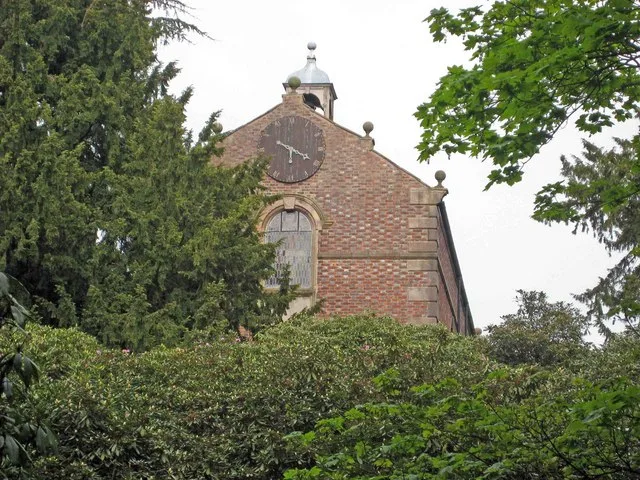
📷 4Historic churches · West Midlands
St Margaret's Church
St Margaret's Church — grade II listed church in Burnage, Manchester, United Kingdom.
More places in this region
 📷 3
📷 3Historic churches · West Midlands
All Saints Chapel, Somerford
All Saints Chapel, Somerford — church in Cheshire East, Cheshire, England, UK.
 📷 4
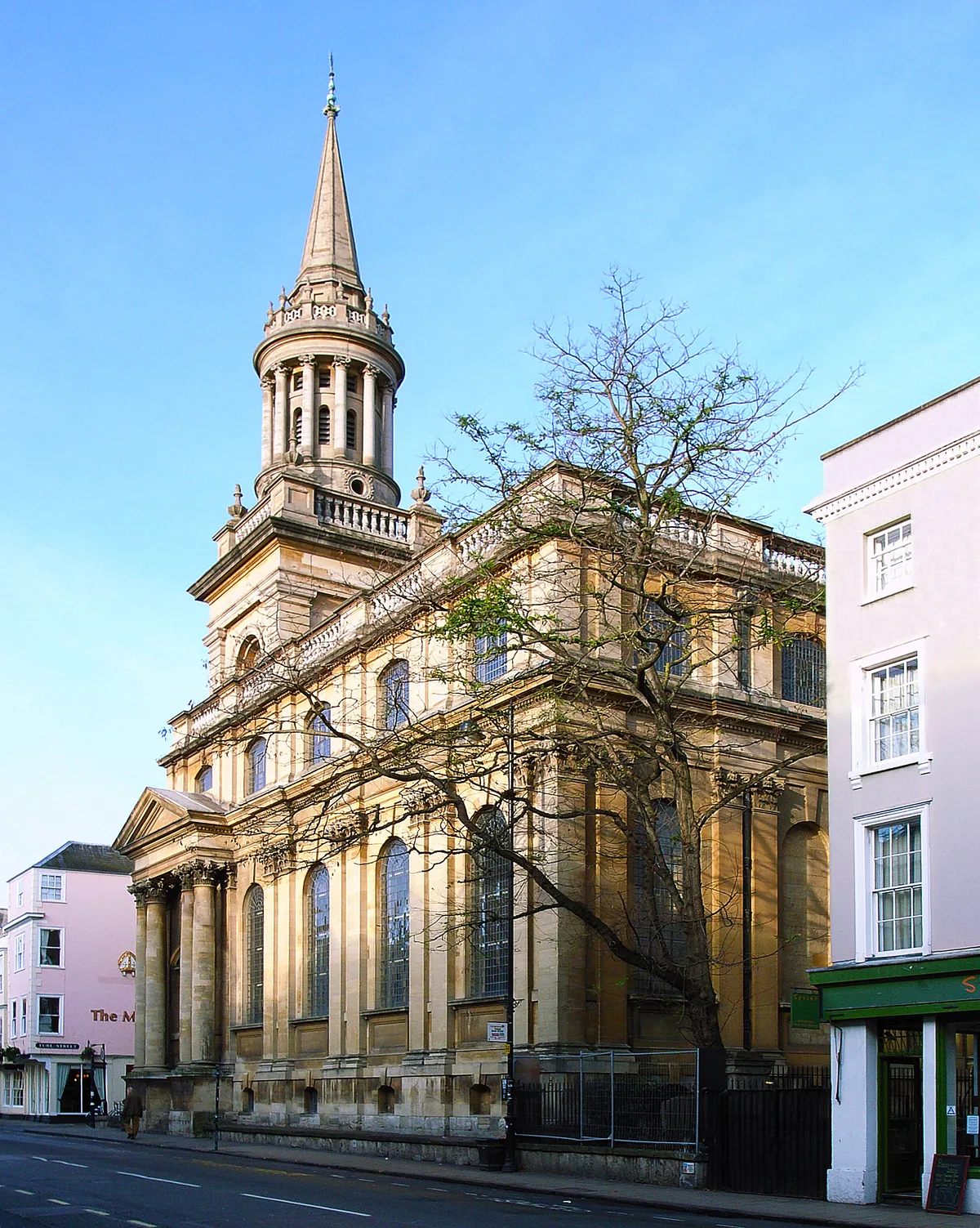
📷 4Historic churches · West Midlands
All Saints Church
All Saints Church — church building in Oxford, UK.
 📷 3
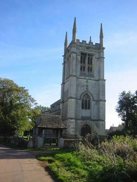
📷 3Historic churches · West Midlands
All Saints Church, Aldwincle
All Saints Church, Aldwincle — church in Aldwincle, Northamptonshire, UK.
 📷 3
📷 3Historic churches · West Midlands
All Saints Church, Allesley
All Saints Church, Allesley — Grade I listed church in Coventry, West Midlands, England, UK.
Frequently asked questions
- Where is Burnage?
- Burnage is in the West Midlands, United Kingdom (postcode M19 1NG), in the parish of Manchester, unparished area.
- Is Burnage free to visit?
- Yes, Burnage is free to enter.
- How do I get to Burnage?
- Drivers can navigate to postcode M19 1NG. It sits within the Gorton and Denton parliamentary constituency.