Public art & sculpture · East Midlands
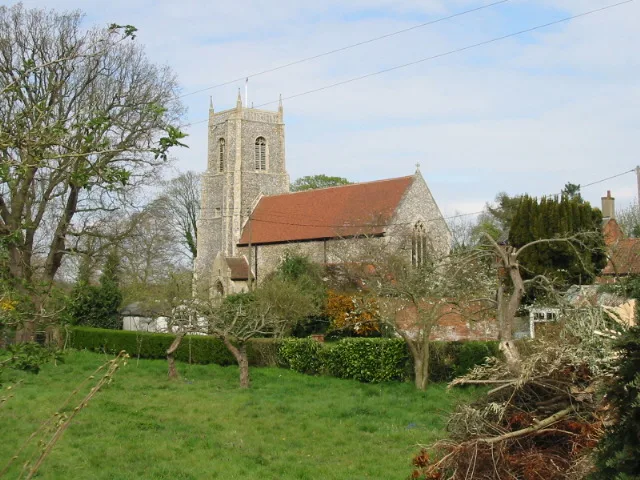
Bure Valley Path
Bure Valley Path — a public art in england-east-midlands, United Kingdom.

Glen Denny — CC BY-SA 2.0 via Wikimedia Commons licence
Plan your visit
- Typical visit
- 1 h–2 h
- Free entry
- Dog-friendly
About
Bure Valley Path is a public art located in england-east-midlands, United Kingdom. Sourced from OpenStreetMap (ODbL licence); see local listings for visitor information, opening hours and admission details.
Photo gallery
From the Wikipedia article
The Bure Valley Path is a 9-mile (14 km) long walking trail and cycling trail in Norfolk, England. It runs alongside the Bure Valley Railway, a heritage railway from Wroxham to Aylsham.
Excerpt from Wikipedia under CC BY-SA 4.0. See the source article linked in Sources below.
- Coordinates
- 52.7262, 1.4015
- County
- Norfolk
- District
- Broadland
- Parish
- Coltishall
- Postcode
- NR12 7AG
- Parliamentary constituency
- Broadland and Fakenham
Sources
- osm: node/11037355662 (ODbL)
- wikipedia: Bure Valley Path (CC BY-SA 4.0)
Other places nearby
Loading nearby places…
Nearby
 📷 3
📷 3National landscapes (AONB) · East Midlands
Tunstead Village Sign
Tunstead Village Sign is a place of interest in the United Kingdom.
 📷 3
📷 3Natural landmarks · East Midlands
Wroxham Barns
Wroxham Barns — a other in england-east-midlands, United Kingdom.
Caravan parks · East Midlands
Poplars Farm
Poplars Farm — a caravan park in england east midlands.
 📷 3
📷 3Natural landmarks · East Midlands
Mystleigh Model Railway
Mystleigh Model Railway — a other in england-east-midlands, United Kingdom.
 📷 3
📷 3Public art & sculpture · East Midlands
Belaugh Village Sign
Belaugh Village Sign — a public art in england-east-midlands, United Kingdom.
 Flagship📷 3
Towns & cities · East Midlands
Belaugh
Belaugh — a village located in Broadland, United Kingdom.
More places in this region
 📷 5
📷 5Public art & sculpture · East Midlands
Aspire
Aspire in England East Midlands, United Kingdom.
 📷 3
📷 3Public art & sculpture · East Midlands
Braunston Goddess
Braunston Goddess in England East Midlands, United Kingdom.
 📷 4
📷 4Public art & sculpture · East Midlands
A Spire for Mansfield
A Spire for Mansfield in England East Midlands, United Kingdom.
 📷 3
📷 3Public art & sculpture · East Midlands
Sculpture Depicting Pomona In Belvoir Castle Sculpture Garden (one Of Seven Statues)
Sculpture Depicting Pomona In Belvoir Castle Sculpture Garden (one Of Seven Statues) in England East Midlands, United Kingdom.
Frequently asked questions
- Where is Bure Valley Path?
- Bure Valley Path is in Norfolk, the East Midlands, United Kingdom (postcode NR12 7AG), in the parish of Coltishall.
- Is Bure Valley Path free to visit?
- Yes, Bure Valley Path is free to enter.
- How do I get to Bure Valley Path?
- Drivers can navigate to postcode NR12 7AG. It sits within the Broadland and Fakenham parliamentary constituency.