Towns & cities · South East England
Burbage
Also known as: Burbage, Wiltshire
Burbage — village and civil parish in Wiltshire, England.
_-_geograph.org.uk_-_1328747.jpg?width=1200)
Wikimedia Commons contributors — see linked file page for photographer and licence licence
_-_geograph.org.uk_-_1328747.jpg)
Plan your visit
- Typical visit
- 3 h–6 h
- Nearest railway station
- Bedwyn · 6.1 km
- Free entry
- Family-friendly
- Dog-friendly
About
Burbage is a town, city, village or settlement in the United Kingdom. Recent population estimates put it at around 1,660 people. Address: SN8. Wikidata describes it as: "village and civil parish in Wiltshire, England". Coordinates: 51.3490°, -1.6710°.
Photo gallery
Protected designations
- Area of Outstanding Natural Beauty: Cotswolds
- Area of Outstanding Natural Beauty: North Wessex Downs
Designations sourced from Natural England open data under OGL v3.
From the Wikipedia article
Burbage is a village and civil parish in the Vale of Pewsey, Wiltshire, England. It is about 6 miles (9.7 km) south of Marlborough and 20 miles (32 km) west of Newbury. The parish includes the hamlets of Durley, Eastcourt, Marr Green, Ram Alley, Stibb Green, The Warren (which is close to Tottenham House), and Westcourt.
Excerpt from Wikipedia under CC BY-SA 4.0. See the source article linked in Sources below.
Background
History
The name Burbage derives from the Old English burh bæc meaning 'fortification by a stream', or 'fortification by a ridge'. The 1086 Domesday survey recorded a church, four landholders and 15 households, and a further eight households at the settlement later known as Wulfhall or Wolfhall, about three-quarters of a mile to the east. In the 16th century, Wulfhall was the seat of the Seymour family; among them Jane Seymour, who was queen to Henry VIII. The Seymour manor house was demolished in 1723 and replaced by a larger house nearby. Wulfhall was anciently a tithing of Great Bedwyn parish and was transferred to Burbage parish in the late 19th century. The Kennet and Avon Canal, completed in…
Sourced from Wikipedia under CC BY-SA 4.0.
- Coordinates
- 51.3490, -1.6710
- District
- Wiltshire
- Parish
- Burbage
- Postcode
- SN8
- Parliamentary constituency
- East Wiltshire
- Population
- 1,660
- Nearest railway station
- Bedwyn — 6.1 km
- Official site
- www.burbage-pc.org.uk
Sources
- wikidata: Q693399 (CC0)
- wikipedia: Burbage, Wiltshire (CC BY-SA 4.0)
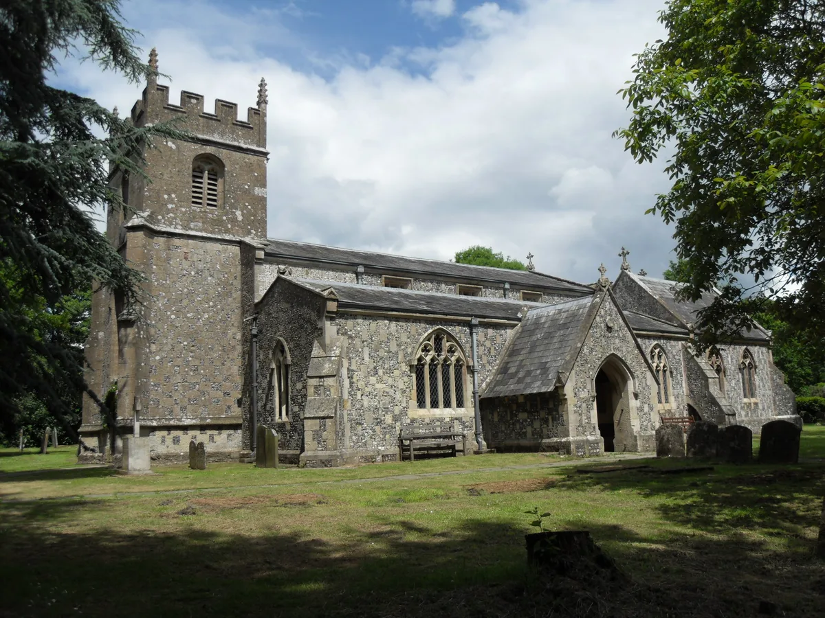
- commons: Church of All Saints, Burbage (5) - geograph.org.uk - 1328747.jpg (CC BY-SA 4.0)
Other places nearby
Loading nearby places…
Nearby
 📷 5
📷 5Memorials & monuments · South East England
Kingston Monument In Churchyard, Approximately 7 Metres South Of South Aisle, Church Of All Saints
Kingston Monument In Churchyard, Approximately 7 Metres South Of South Aisle, Church Of All Saints — Grade II listed building-listed memorial in england-south-east, United Kingdom.
 📷 5
📷 5Abbeys & priories · South East England
Church of All Saints
Church of All Saints — church in Burbage, Wiltshire, England, UK.
_(geograph_7393873).jpg?width=1200) 📷 5
📷 5Historic houses · South East England
Barn House
Barn House — house in Burbage, Wiltshire, England, UK.
 📷 5
📷 5Manor houses · South East England
Wolfhall
Wolfhall — a manor in england-south-east, United Kingdom.
📷 5Manor houses · South East England
Wolfhall Manor
Wolfhall Manor — Grade II listed building-listed manor in england-south-east, United Kingdom.
 📷 5
📷 5Historic bridges · South East England
Wolfhall Bridge At Su 244624
Wolfhall Bridge At Su 244624 — Grade II listed building-listed bridge in england-south-east, United Kingdom.
More towns in this region
 Flagship📷 10
Towns & cities · South East England
Aldermaston
Aldermaston — village and civil parish in West Berkshire in England, UK.
 Flagship📷 10
Towns & cities · South East England
Aldingbourne
Aldingbourne — village and civil parish in Arun, West Sussex, UK.
 Flagship📷 10
Towns & cities · South East England
Aldington
Aldington — village and civil parish in the Ashford District of Kent, England.
 Flagship📷 10
Towns & cities · South East England
Aldworth
Aldworth — village and civil parish in the English county of Berkshire.
Frequently asked questions
- Where is Burbage?
- Burbage is in South-East England, United Kingdom (postcode SN8), in the parish of Burbage.
- Is Burbage a protected site?
- Yes — Burbage is part of the Cotswolds National Landscape (AONB) and the North Wessex Downs National Landscape (AONB).
- Is Burbage free to visit?
- Yes, Burbage is free to enter.
- How do I get to Burbage?
- The nearest railway station is Bedwyn, about 6.1 km away. Drivers can navigate to postcode SN8.