Museums · East of England
Broadland
Broadland is a local government district in Norfolk, England, named after the Norfolk Broads. Its council is based at the Broadland Business Park on the outskirts of Norwich. The district includes the

Wikimedia Commons licence
Plan your visit
- Typical visit
- 1.5 h–3 h
- Best time of year
- Year-round
- Family-friendly
- Limited wheelchair access
About
Broadland is a local government district in Norfolk, England, named after the Norfolk Broads. Its council is based at the Broadland Business Park on the outskirts of Norwich. The district includes the towns of Acle, Aylsham, Reepham, Sprowston and Thorpe St Andrew. Several of the district's settlements (including Sprowston and Thorpe St Andrew) form part of the Norwich built-up area, lying outside the city's boundaries to the north-west and north-east. The district also includes numerous villages and surrounding rural areas. Some eastern parts of the district lie within The Broads. The neighbouring districts are North Norfolk, Great Yarmouth, South Norfolk, Norwich and Breckland. In 2013, Broadland was ranked as the most peaceful locality within the United Kingdom, having the lowest level of violent crime in the country.
Photo gallery
From the Wikipedia article
Broadland is a local government district in Norfolk, England, named after the Norfolk Broads. Its council is based at the Broadland Business Park on the outskirts of Norwich. The district includes the towns of Acle, Aylsham, Reepham, Sprowston and Thorpe St Andrew. Several of the district's settlements (including Sprowston and Thorpe St Andrew) form part of the Norwich built-up area, lying outside the city's boundaries to the north-west and north-east. The district also includes numerous villages and surrounding rural areas. Some eastern parts of the district lie within The Broads. The neighbouring districts are North Norfolk, Great Yarmouth, South Norfolk, Norwich and Breckland. In 2013, Broadland was ranked as the most peaceful locality within the United Kingdom, having the lowest level of violent crime in the country.
Excerpt from Wikipedia under CC BY-SA 4.0. See the source article linked in Sources below.
Background
History
The district was created on 1 April 1974 under the Local Government Act 1972, covering the whole of one former district and parts of another, which were both abolished at the same time: The new district was named Broadland after the Broads. The council appointed a shared managing director with neighbouring South Norfolk Council in 2018. The two councils' staff were merged in 2020 and the councils moved to a new shared building in 2023. Under upcoming local government reform plans the area of the district will be split between the new Greater Norwich and East Norfolk unitary authorities from 2028.
Sourced from Wikipedia under CC BY-SA 4.0.
- Coordinates
- 52.6337, 1.3523
- County
- Norfolk
- District
- Broadland
- Parish
- Thorpe St. Andrew
- Postcode
- NR7 0XW
- Parliamentary constituency
- Norwich North
Sources
- wikipedia: Broadland (CC BY-SA 4.0)
Other places nearby
Loading nearby places…
Nearby
 📷 5
📷 5Natural landmarks · East of England
Thorpe St Andrew School
Thorpe St Andrew School — a school heritage in england-east, United Kingdom.
 📷 5
📷 5Museums · East of England
Thorpe St Andrew
Thorpe St Andrew — a museum in england-east, United Kingdom.
 📷 5
📷 5Forests & woodlands · East of England
NWT Thorpe Marshes
NWT Thorpe Marshes is a forest or woodland in the United Kingdom.
 📷 3
📷 3Public art & sculpture · East of England
Thorpe St Andrew Village Sign
Thorpe St Andrew Village Sign — a public art in england-east, United Kingdom.
 📷 5
📷 5Memorials & monuments · East of England
War Memorial
War Memorial is a memorial in the United Kingdom.
 📷 3
📷 3Memorials & monuments · East of England
Thorpe St Andrew War Memorial
Thorpe St Andrew War Memorial — Grade II listed building-listed memorial in england-east, United Kingdom.
More museums in this region
 📷 3
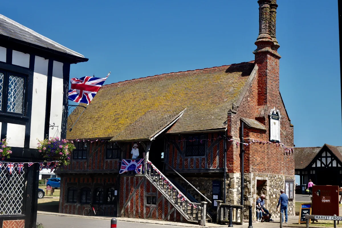
📷 3Museums · East of England
Aldeburgh Museum
Aldeburgh Museum — independent Museum in the East of England, United Kingdom.
 📷 3
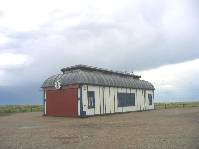
📷 3Museums · East of England
Alfred Corry Lifeboat Museum
Alfred Corry Lifeboat Museum — UK museum in Southwold, East Suffolk, England.
 📷 3
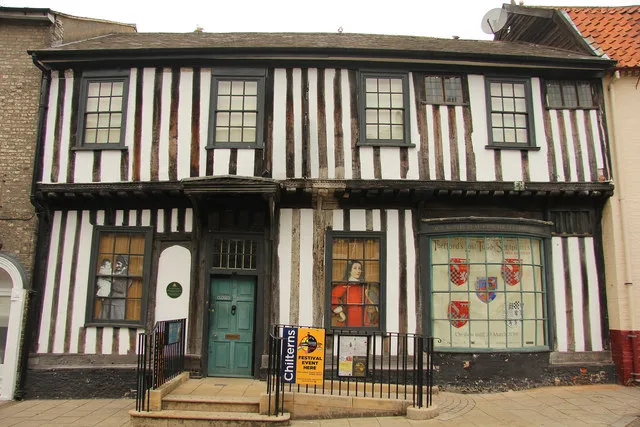
📷 3Museums · East of England
Ancient House Museum
Ancient House Museum — Grade I listed building in Thetford, Breckland District, Norfolk, England, United Kingdom.
 📷 3
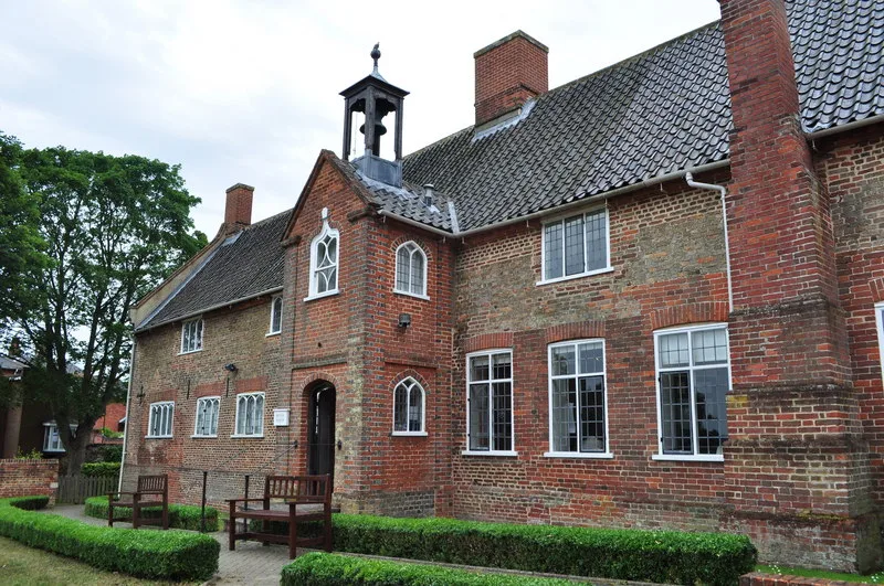
📷 3Museums · East of England
Beccles and District Museum
Beccles and District Museum — Museum in United Kingdom.
Frequently asked questions
- Where is Broadland?
- Broadland is in Norfolk, East of England, United Kingdom (postcode NR7 0XW), in the parish of Thorpe St. Andrew.
- Who owns Broadland?
- Broadland is owned by Broadland District Council.
- How do I get to Broadland?
- Drivers can navigate to postcode NR7 0XW. It sits within the Norwich North parliamentary constituency.