Mountains & hills · West Midlands
Brierley Hill
Also known as: Church Hill
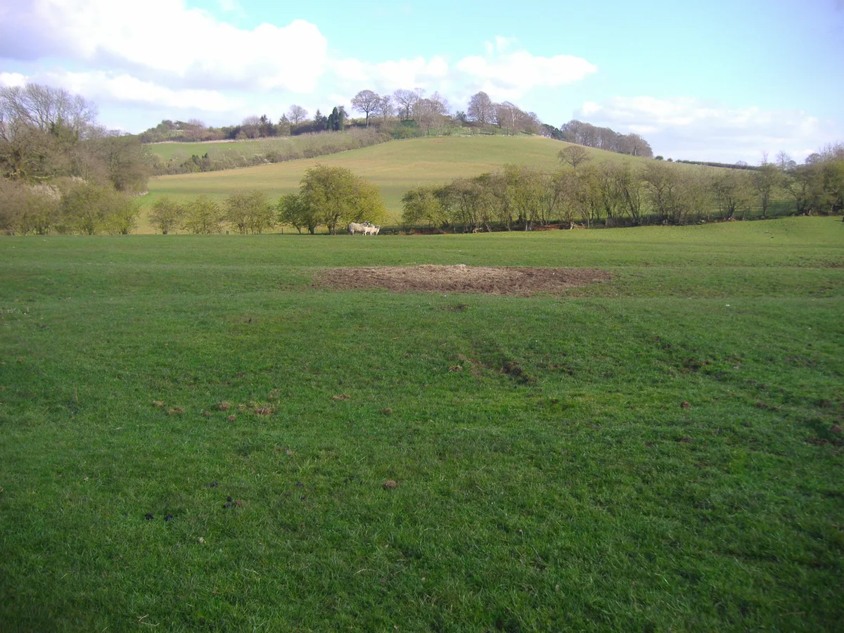
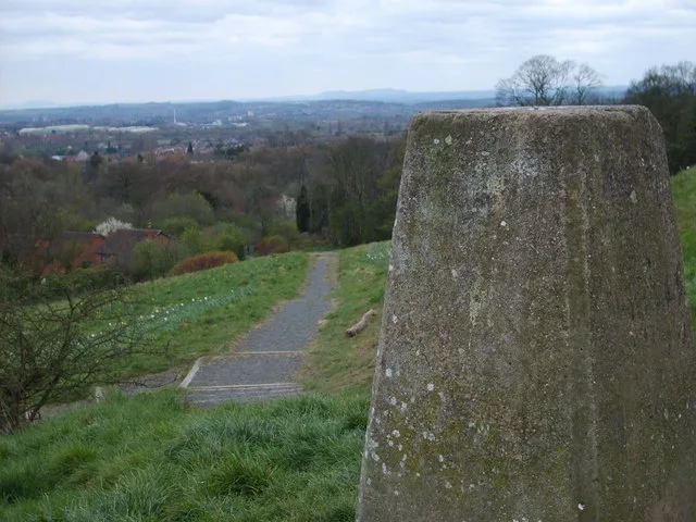
Brierley Hill — Named summit at 158 m.

Wikimedia Commons contributors — see linked file page for photographer and licence licence
Plan your visit
- Typical visit
- 3 h–8 h
- Best time of year
- Late spring – early autumn (May–Oct)
- Nearest railway station
- Lye · 2.3 km
- Free entry
- Dog-friendly
About
Brierley Hill is a named summit in the United Kingdom. Also known as: Church Hill. Wikidata describes it as: "Named summit at 158 m.". Coordinates: 52.4796°, -2.1248°.
Photo gallery
From the Wikipedia article
Brierley Hill is a town and electoral ward in the Metropolitan Borough of Dudley, West Midlands (originally in Staffordshire), England. It is located three miles (five kilometres) south of Dudley and one mile (1.5 kilometres) north of Stourbridge. Part of the Black Country and in a heavily industrialised area, it had a population of 13,935 at the 2011 census. It is best known for glass and steel manufacturing, although the industry has declined considerably since the 1970s. One of the largest factories in the area was the Round Oak Steelworks, which closed down and was redeveloped in the 1980s to become the Merry Hill Shopping Centre. Since 2008, Brierley Hill has been designated as the Strategic Town Centre of the Dudley Borough.
Excerpt from Wikipedia under CC BY-SA 4.0. See the source article linked in Sources below.
Background
History
Largely a product of the Industrial Revolution, Brierley Hill has a relatively recent history, with the first written records of the town dating back to the 17th century. A National School was opened in the town in 1835 and a market area had developed along the High Street. with the closure of the Round Oak Steelworks in December 1982 resulting in a further 1,300 redundancies. The steelworks site, along with the adjacent Merry Hill Farm, were subsequently designated as an Enterprise Zone and were redeveloped to create the Merry Hill Shopping Centre and The Waterfront business park. In recent years, proposals have been drawn up by the local authority to regenerate Brierley Hill, with the…
Sourced from Wikipedia under CC BY-SA 4.0.
- Coordinates
- 52.4796, -2.1248
- District
- Dudley
- Parish
- Dudley, unparished area
- Postcode
- DY5 3EX
- Parliamentary constituency
- Stourbridge
- Nearest railway station
- Lye — 2.3 km
- Official site
- www.neighbourhood.statistics.gov.uk
Sources
- osm: n12523930127 (ODbL)
- wikipedia: Brierley Hill (CC BY-SA 4.0)
- commons: Brierley Hill Market - geograph.org.uk - 1275896.jpg (CC BY-SA 4.0)
Other places nearby
Loading nearby places…
Nearby
 📷 4
📷 4Memorials & monuments · West Midlands
Brierley Hill War Memorial
Brierley Hill War Memorial — Grade II listed building-listed memorial in england-west-midlands, United Kingdom.
 📷 3
📷 3Public art & sculpture · West Midlands
Youthful Endeavour
Youthful Endeavour — a public art in england-west-midlands, United Kingdom.
 📷 5
📷 5Historic churches · West Midlands
Jamia Masjid Rizvia
Jamia Masjid Rizvia — a church in england-west-midlands, United Kingdom.
 📷 3
📷 3Canal locks · West Midlands
Delph Locks
Delph Locks — lock in Dudley, West Midlands, England, UK.
 📷 3
📷 3Breweries · West Midlands
Daniel Batham and Son Ltd
Daniel Batham and Son Ltd — brewery in Brierley Hill.
 📷 5
📷 5Historic churches · West Midlands
Fat Yue Temple
Fat Yue Temple — a church in england-west-midlands, United Kingdom.
More mountains in this region
 📷 5
📷 5Mountains & hills · West Midlands
Arbury Hill
Arbury Hill — Named summit at 224.3 m.
Mountains & hills · West Midlands
Barr Beacon
Barr Beacon — Named summit at 227 m.
 📷 3
📷 3Mountains & hills · West Midlands
Barrow Hill
Barrow Hill — Named summit at 179 m.
Mountains & hills · West Midlands
Beacon Hill
Beacon Hill — Named summit at 237 m.
Frequently asked questions
- Where is Brierley Hill?
- Brierley Hill is in the West Midlands, United Kingdom (postcode DY5 3EX), in the parish of Dudley, unparished area.
- Is Brierley Hill free to visit?
- Yes, Brierley Hill is free to enter.
- How do I get to Brierley Hill?
- The nearest railway station is Lye, about 2.3 km away. Drivers can navigate to postcode DY5 3EX.