Forests & woodlands · South West England
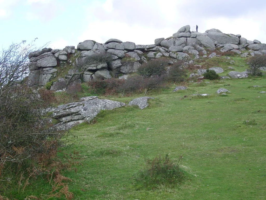
Breney Common
Breney Common is a forest or woodland in the United Kingdom.

Wikimedia Commons contributors — see linked file page for photographer and licence licence
Plan your visit
- Typical visit
- 1 h–3 h
- Nearest railway station
- Luxulyan · 3.0 km
- Free entry
- Family-friendly
- Dog-friendly
About
Breney Common is a named forest, woodland or nature reserve in the United Kingdom. Coordinates: 50.4167°, -4.7368°. This entry is part of The Great Britain Guide, a free, ad-free, open-data tourist directory.
Photo gallery
Protected designations
- Site of Special Scientific Interest: Mid Cornwall Moors SSSI
- Area of Outstanding Natural Beauty: Cornwall
Designations sourced from Natural England open data under OGL v3.
From the Wikipedia article
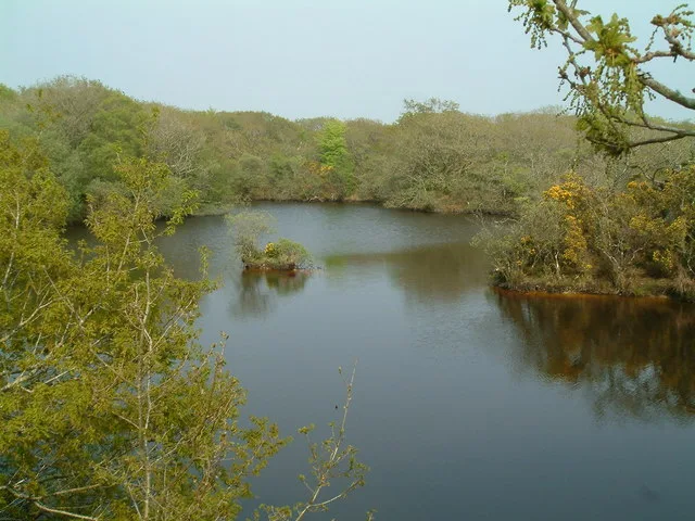
Breney Common is a nature reserve and Site of Special Scientific Interest, noted for its biological characteristics, in mid Cornwall, England, UK. It is located mainly in Lanlivery civil parish, with the Saints' Way footpath running through it. The common forms part of Breney Common and Goss and Tregoss Moors Special Area of Conservation. The nature reserve is owned by the Cornwall Wildlife Trust/Cornwall Trust for Nature.
Excerpt from Wikipedia under CC BY-SA 4.0. See the source article linked in Sources below.
Background
History
This SSSI used to belong to the Red Moor–Breney Common SSSI, the two sites having split in the 1986 revision where both sites were expanded. There are now three adjacent nature reserves Breney Common, Red Moor and Helman Tor which have been renamed as Helman Tor Nature Reserve.
Sourced from Wikipedia under CC BY-SA 4.0.
- Coordinates
- 50.4167, -4.7368
- District
- Cornwall
- Parish
- Luxulyan
- Postcode
- PL30 5DU
- Parliamentary constituency
- St Austell and Newquay
- Nearest railway station
- Luxulyan — 3 km
- Official site
- www.cornwallwildlifetrust.org.uk
Sources
- osm: w186826694 (ODbL)
- wikipedia: Breney Common (CC BY-SA 4.0)
- commons: Breney Common, Luxulyan - geograph.org.uk - 61643.jpg (CC BY-SA 4.0)
Other places nearby
Loading nearby places…
Nearby
Vineyards · South West England
Earlier prehistoric hillfort, stone hut circle settlement and field system at Helman Tor
Earlier prehistoric hillfort, stone hut circle settlement and field system at Helman Tor — a UK vineyard in england south west, producing English or Welsh wine from cool-climate grape varieties.
 📷 5
📷 5Mountains & hills · South West England
Helman Tor
Helman Tor — Named summit at 209 m.
 📷 5
📷 5Forests & woodlands · South West England
Helman Tor
Helman Tor is a forest or woodland in the United Kingdom.
 📷 3
📷 3Forests & woodlands · South West England
Lowerton Moor
Lowerton Moor is a forest or woodland in the United Kingdom.
 📷 2
📷 2Wildlife reserves · South West England
Red Moor nature reserve
Red Moor nature reserve — nature reserve near Lanlivery in mid Cornwall, England, UK.
 📷 2
📷 2Forests & woodlands · South West England
Red Moor
Red Moor is a forest or woodland in the United Kingdom.
More forests in this region
 📷 5
📷 5Forests & woodlands · South West England
Axmouth to Lyme Regis Undercliffs NNR
Axmouth to Lyme Regis Undercliffs NNR is a forest or woodland in the United Kingdom.
 📷 5
📷 5Forests & woodlands · South West England
Bowling Green Marsh
Bowling Green Marsh is a forest or woodland in the United Kingdom.
 📷 5
📷 5Forests & woodlands · South West England
Callington Road Nature Reserve
Callington Road Nature Reserve is a forest or woodland in the United Kingdom.
 📷 5
📷 5Forests & woodlands · South West England
Coney's Castle Hill Fort
Coney's Castle Hill Fort is a forest or woodland in the United Kingdom.
Frequently asked questions
- Where is Breney Common?
- Breney Common is in South-West England, United Kingdom (postcode PL30 5DU), in the parish of Luxulyan.
- Is Breney Common a protected site?
- Yes — Breney Common is part of the Mid Cornwall Moors SSSI Site of Special Scientific Interest and the Cornwall National Landscape (AONB).
- Is Breney Common free to visit?
- Yes, Breney Common is free to enter.
- How do I get to Breney Common?
- The nearest railway station is Luxulyan, about 3.0 km away. Drivers can navigate to postcode PL30 5DU.