Museums · East of England
Breckland District
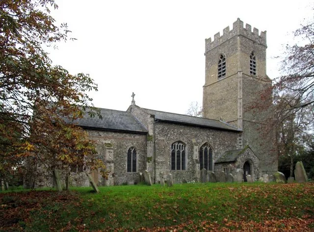
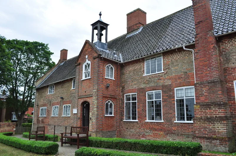
Breckland is a local government district in Norfolk, England. Its council is based in Dereham, although the largest town is Thetford. The district also includes the towns of Attleborough, Swaffham and

habiloid — CC BY-SA 2.0 via Wikimedia Commons licence
Plan your visit
- Typical visit
- 1.5 h–3 h
- Best time of year
- Year-round
- Family-friendly
- Limited wheelchair access
About
Breckland is a local government district in Norfolk, England. Its council is based in Dereham, although the largest town is Thetford. The district also includes the towns of Attleborough, Swaffham and Watton, along with numerous villages and surrounding rural areas. The district derives its name from the Breckland landscape region, a gorse-covered sandy heath of south Norfolk and north Suffolk. The term "Breckland" dates back to at least the 13th century. The neighbouring districts are King's Lynn and West Norfolk, North Norfolk, Broadland, South Norfolk, Mid Suffolk and West Suffolk.
Photo gallery
From the Wikipedia article
Breckland is a local government district in Norfolk, England. Its council is based in Dereham, although the largest town is Thetford. The district also includes the towns of Attleborough, Swaffham and Watton, along with numerous villages and surrounding rural areas. The district derives its name from the Breckland landscape region, a gorse-covered sandy heath of south Norfolk and north Suffolk. The term "Breckland" dates back to at least the 13th century. The neighbouring districts are King's Lynn and West Norfolk, North Norfolk, Broadland, South Norfolk, Mid Suffolk and West Suffolk.
Excerpt from Wikipedia under CC BY-SA 4.0. See the source article linked in Sources below.
Background
History
The district was created on 1 April 1974 under the Local Government Act 1972, covering six former districts which were all abolished at the same time: The new district was named Breckland after the distinctive landscape which covers parts of the area. The name was chosen following a competition organised by the outgoing authorities which invited local schools, organisations and individuals to put forward suggested names. Under upcoming local government reform plans the area of the district will become part of the larger West Norfolk unitary authority from 2028.
Sourced from Wikipedia under CC BY-SA 4.0.
- Coordinates
- 52.6333, 0.9833
- County
- Norfolk
- District
- Breckland
- Parish
- Garvestone, Reymerston and Thuxton
- Postcode
- NR9 4QT
- Parliamentary constituency
- Mid Norfolk
Sources
- wikipedia: Breckland District (CC BY-SA 4.0)
Other places nearby
Loading nearby places…
Nearby
 📷 3
📷 3Public art & sculpture · East of England
Garvestone Village Sign
Garvestone Village Sign — a public art in england-east, United Kingdom.
Caravan parks · East of England
Penny Meadows
Penny Meadows — a caravan park in england east.
 📷 3
📷 3Memorials & monuments · East of England
Thuxton with Garvestone War Memorial
Thuxton with Garvestone War Memorial — Grade II listed building-listed memorial in england-east, United Kingdom.
 Flagship📷 3
Towns & cities · East of England
Garvestone
Garvestone — village in Breckland District, Norfolk, England.
 📷 3
📷 3Public art & sculpture · East of England
Whinburgh Village Sign
Whinburgh Village Sign — a public art in england-east, United Kingdom.
 📷 4
📷 4Gardens · East of England
Reymerston Hall
Reymerston Hall — a garden in england-east, United Kingdom.
More museums in this region
 📷 3
📷 3Museums · East of England
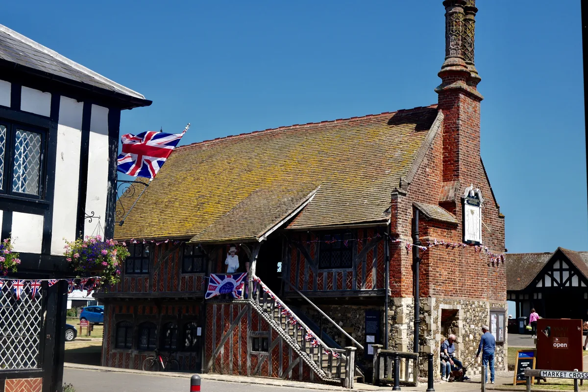
Aldeburgh Museum
Aldeburgh Museum — independent Museum in the East of England, United Kingdom.
 📷 3
📷 3Museums · East of England
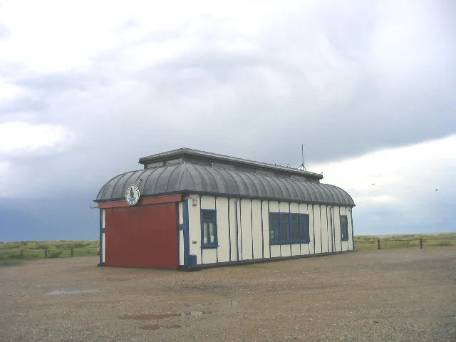
Alfred Corry Lifeboat Museum
Alfred Corry Lifeboat Museum — UK museum in Southwold, East Suffolk, England.
 📷 3
📷 3Museums · East of England
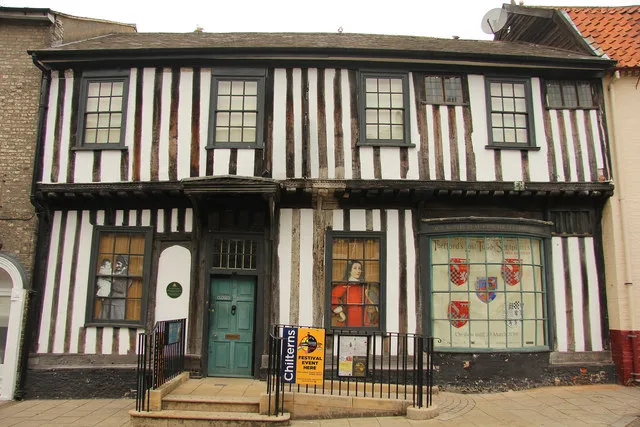
Ancient House Museum
Ancient House Museum — Grade I listed building in Thetford, Breckland District, Norfolk, England, United Kingdom.
 📷 3
📷 3Museums · East of England
Beccles and District Museum
Beccles and District Museum — Museum in United Kingdom.
Frequently asked questions
- Where is Breckland District?
- Breckland District is in Norfolk, East of England, United Kingdom (postcode NR9 4QT), in the parish of Garvestone, Reymerston and Thuxton.
- Who owns Breckland District?
- Breckland District is owned by Breckland District Council.
- How do I get to Breckland District?
- Drivers can navigate to postcode NR9 4QT. It sits within the Mid Norfolk parliamentary constituency.