Towns & cities · South East England
Boveney
Boveney — village in Buckinghamshire, United Kingdom.

Wikimedia Commons contributors — see linked file page for photographer and licence licence
Plan your visit
- Typical visit
- 3 h–6 h
- Nearest railway station
- Windsor and Eton Central · 2.7 km
- Free entry
- Family-friendly
- Dog-friendly
About
Boveney is a town, city, village or settlement in the United Kingdom. Address: SL4. Wikidata describes it as: "village in Buckinghamshire, United Kingdom". Coordinates: 51.4904°, -0.6481°.
Photo gallery
Protected designations
- Area of Outstanding Natural Beauty: Chilterns
Designations sourced from Natural England open data under OGL v3.
From the Wikipedia article
Boveney is a village in the civil parish of Dorney, in Buckinghamshire, England. It is situated near Windsor, between the villages of Eton Wick in Berkshire, and Dorney and Dorney Reach in Buckinghamshire. Since boundary changes in 1974 and 1995, Boveney is now the southernmost village in Buckinghamshire.
Excerpt from Wikipedia under CC BY-SA 4.0. See the source article linked in Sources below.
Background
History
Boveney historically formed a chapelry of the ancient parish of Burnham. Parish functions under the poor laws from the 17th century onwards were administered separately for the chapelry of Boveney and the rest of Burnham parish. As such, Boveney became a separate civil parish in 1866 when the legal definition of 'parish' was changed to be the areas used for administering the poor laws. Boveney was part of Eton Rural District from 1894 to 1934. The parish was abolished in 1934. The north-east of the old parish, which included part of the built up area of Eton Wick, was transferred to Eton Urban District. The remainder of the old parish was added to the parish of Dorney. At the 1931 census…
Sourced from Wikipedia under CC BY-SA 4.0.
- Coordinates
- 51.4904, -0.6481
- District
- Buckinghamshire
- Parish
- Dorney
- Postcode
- SL4
- Parliamentary constituency
- Beaconsfield
- Nearest railway station
- Windsor and Eton Central — 2.7 km
Sources
- wikidata: Q895350 (CC0)
- wikipedia: Boveney (CC BY-SA 4.0)
- commons: St Mary Magdalene Church Boveney.JPG (CC BY-SA 4.0)
Other places nearby
Loading nearby places…
Nearby
 📷 5
📷 5Historic churches · South East England
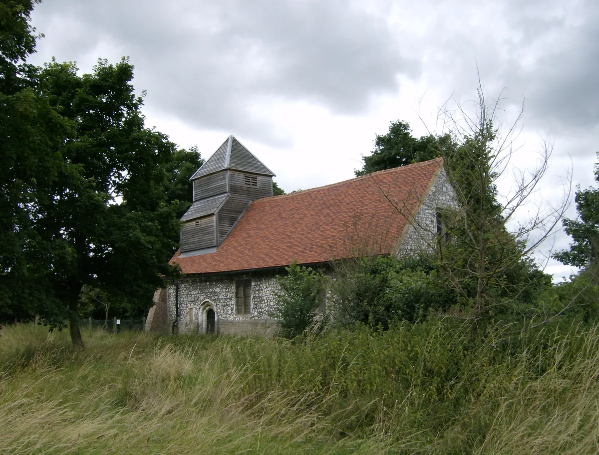
St Mary Magdalene's Church
St Mary Magdalene's Church — redundant Anglican church standing close to the river on the north bank of the Thames, near the village of Boveney, Buckinghamshire, England, UK.
 📷 5
📷 5Canal locks · South East England
Boveney Lock
Boveney Lock — lock on the River Thames situated on the Buckinghamshire bank.
 📷 5
📷 5Towns & cities · South East England
Eton Wick
Eton Wick — village in Berkshire, England, UK.
📷 5Memorials & monuments · South East England
Saint John the Baptist
Saint John the Baptist is a memorial in the United Kingdom.
 📷 5
📷 5Memorials & monuments · South East England
Mariquita Tennant
Mariquita Tennant — a memorial in england-south-east, United Kingdom.
 📷 5
📷 5Memorials & monuments · South East England
Dedworth and Clewer War Memorial
Dedworth and Clewer War Memorial — Grade II listed building-listed memorial in england-south-east, United Kingdom.
More towns in this region
 Flagship📷 10
Towns & cities · South East England
Aldermaston
Aldermaston — village and civil parish in West Berkshire in England, UK.
 Flagship📷 10
Towns & cities · South East England
Aldingbourne
Aldingbourne — village and civil parish in Arun, West Sussex, UK.
 Flagship📷 10
Towns & cities · South East England
Aldington
Aldington — village and civil parish in the Ashford District of Kent, England.
 Flagship📷 10
Towns & cities · South East England
Aldworth
Aldworth — village and civil parish in the English county of Berkshire.
Frequently asked questions
- Where is Boveney?
- Boveney is in South-East England, United Kingdom (postcode SL4), in the parish of Dorney.
- Is Boveney a protected site?
- Yes — Boveney is part of the Chilterns National Landscape (AONB).
- Is Boveney free to visit?
- Yes, Boveney is free to enter.
- How do I get to Boveney?
- The nearest railway station is Windsor and Eton Central, about 2.7 km away. Drivers can navigate to postcode SL4.