Historic houses · London
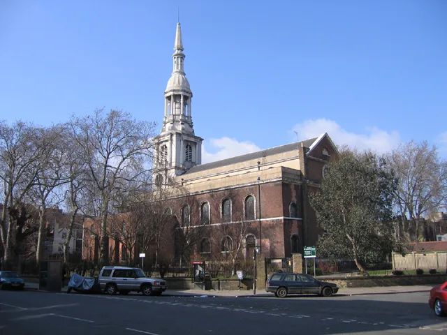
Boundary Estate
Boundary Estate — a Grade II*-listed historic house in england-london, United Kingdom.

Trevor Harris — CC BY-SA 2.0 via Wikimedia Commons licence
Plan your visit
- Typical visit
- 1 h–2 h
- Family-friendly
- Limited wheelchair access
About
Boundary Estate is a Grade II*-listed building in england-london, United Kingdom. Grade II* status is conferred by Historic England (or Cadw, Historic Environment Scotland or NIEA equivalents) on buildings of exceptional national interest. See the linked Wikipedia article for full historical and architectural details.
Photo gallery
From the Wikipedia article
The Boundary Estate is a housing development in the London Borough of Tower Hamlets, in the East End of London. The estate, constructed from 1890, was one of the earliest social housing schemes built by a local government authority. It was built on the site of the demolished Friars Mount rookery in the Old Nichol, with works begun by the Metropolitan Board of Works in 1893 and completed by the recently formed London County Council. Soil from the foundations was used to construct a mound in the middle of Arnold Circus at the centre of the development, surmounted by an extant bandstand. The estate consists of multistorey brick tenements radiating from the central circus, each of which bears the name of a town or village along the non-tidal reaches of the Thames. For administrative purposes, the estate lay just within the boundaries of the historical parish and (from 1900) Metropolitan Borough of Bethnal Green, which in 1965 became part of the new London Borough of Tower Hamlets. For ecclesiastical purposes, it lay within the parish of Holy Trinity, Shoreditch, created in 1866. The estate's name reflects its borderline location.
Excerpt from Wikipedia under CC BY-SA 4.0. See the source article linked in Sources below.
Background
Description
, Chairman of LCC]] The newly established London County Council (LCC) decided to rebuild an area of some 15 acre, including the Nichol and Snow estates, and a small piece on the Shoreditch side of Boundary Street, formerly Cock Lane. What became known as the Bethnal Green Improvement Scheme displaced 5,719 people and demolished 730 houses. It was initially planned as a series of rectangular plots, but in 1893, a radial plan that would house more people was approved. Owen Fleming designed the Boundary Street scheme. He retained only Boundary Street in the west and Mount Street in the east, though he widened both to 40 ft. Old Nichol Street was also widened and extended to Mount Street, then…
Sourced from Wikipedia under CC BY-SA 4.0.
- Coordinates
- 51.5259, -0.0748
- District
- Tower Hamlets
- Parish
- Tower Hamlets, unparished area
- Postcode
- E2 7HP
- Parliamentary constituency
- Bethnal Green and Stepney
Sources
- wikidata: Q4949934 (CC0)
- wikipedia: Boundary Estate (CC BY-SA 4.0)
Other places nearby
Loading nearby places…
Nearby
 📷 5
📷 5Galleries · London
Benjamin Rhodes Arts
Benjamin Rhodes Arts — a gallery in england-london, United Kingdom.
 📷 5
📷 5Historic churches · London
Shoreditch Masjid Trust
Shoreditch Masjid Trust — a church in england-london, United Kingdom.
 📷 5
📷 5Theatres · London
Electric Cinema Shoreditch
Electric Cinema Shoreditch — a cinema heritage in england-london, United Kingdom.
Hotels · London
One Hundred Shoreditch
One Hundred Shoreditch — a hotel in england london.
Hotels · London
Boundary
Boundary — a hotel in england london.
 📷 5
📷 5Historic churches · London
St Leonard's Church, Shoreditch
St Leonard's Church, Shoreditch — church in the London Borough of Hackney.
More historic houses in this region
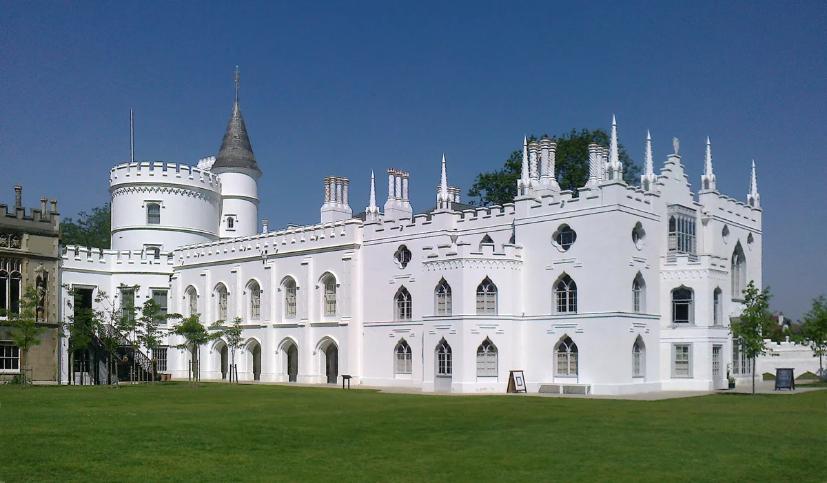 Flagship📷 10
Historic houses · London
Strawberry Hill House
Strawberry Hill House — villa and house museum in Twickenham, London, United Kingdom.
 📷 5
📷 5Historic houses · London
1 Old Palace Terrace
1 Old Palace Terrace — house in Richmond upon Thames, London, United Kingdom.
 📷 5
📷 5Historic houses · London
1 Palace Green
1 Palace Green — house on Palace Green, Kensington, London.
 📷 5
📷 5Historic houses · London
1–2 Orme Square
1–2 Orme Square — pair of houses in Orme Square, Bayswater, London.
Frequently asked questions
- Where is Boundary Estate?
- Boundary Estate is in London, United Kingdom (postcode E2 7HP), in the parish of Tower Hamlets, unparished area.
- Is Boundary Estate a listed building?
- Boundary Estate is officially recognised as Grade II* listed.
- How do I get to Boundary Estate?
- Drivers can navigate to postcode E2 7HP. It sits within the Bethnal Green and Stepney parliamentary constituency.