Museums · East of England
Borough of Great Yarmouth
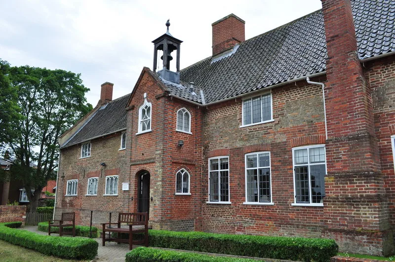
The Borough of Great Yarmouth is a local government district with borough status in Norfolk, England. It is named after its main town, Great Yarmouth, and also contains the town of Gorleston-on-Sea an

habiloid — CC BY-SA 2.0 via Wikimedia Commons licence
%2C_South_Market_Road%2C_Great_Yarmouth_-_geograph.org.uk_-_8068696.jpg)
Plan your visit
- Typical visit
- 1.5 h–3 h
- Best time of year
- Year-round
- Family-friendly
- Limited wheelchair access
About
The Borough of Great Yarmouth is a local government district with borough status in Norfolk, England. It is named after its main town, Great Yarmouth, and also contains the town of Gorleston-on-Sea and a number of villages and rural areas, including part of The Broads. Other notable settlements include Bastwick, Belton, Bradwell, Burgh Castle, Caister-on-Sea, California, Fleggburgh, Hemsby, Martham, Hopton-on-Sea, Ormesby St Margaret, Rollesby, St Olaves, Scratby, Stokesby and Winterton-on-Sea. The borough is on the east coast of Norfolk, facing the North Sea. It borders North Norfolk to the north, Broadland to the west, South Norfolk to the south-west, and East Suffolk to the south.
Photo gallery
Heritage listing
{{ubl|From left to right|Top: Caister-on-Sea High Street|Middle: South Quay in Great Yarmouth and the bandstand in Gorleston-on-Sea|Bottom: Ormesby St Margaret village centre and pastures near St Olaves}}
From the Wikipedia article
The Borough of Great Yarmouth is a local government district with borough status in Norfolk, England. It is named after its main town, Great Yarmouth, and also contains the town of Gorleston-on-Sea and a number of villages and rural areas, including part of The Broads. Other notable settlements include Bastwick, Belton, Bradwell, Burgh Castle, Caister-on-Sea, California, Fleggburgh, Hemsby, Martham, Hopton-on-Sea, Ormesby St Margaret, Rollesby, St Olaves, Scratby, Stokesby and Winterton-on-Sea. The borough is on the east coast of Norfolk, facing the North Sea. It borders North Norfolk to the north, Broadland to the west, South Norfolk to the south-west, and East Suffolk to the south.
Excerpt from Wikipedia under CC BY-SA 4.0. See the source article linked in Sources below.
Background
History
The town of Great Yarmouth was an ancient borough, having been granted a charter in 1208. The borough was enlarged in 1668 to take in the Southtown area (also known as Little Yarmouth) on the south side of the River Yare in the parish of Gorleston. In 1703 the borough was given the right to appoint a mayor. The borough was reformed to become a municipal borough in 1836, when it was also enlarged to include the rest of the parish of Gorleston. When elected county councils were created in 1889, Great Yarmouth was considered large enough to provide its own county-level services and so it became a county borough, independent from the new Norfolk County Council. The modern district was formed on…
Sourced from Wikipedia under CC BY-SA 4.0.
- Coordinates
- 52.6078, 1.7331
- County
- Norfolk
- District
- Great Yarmouth
- Parish
- Great Yarmouth, unparished area
- Postcode
- NR30 2FH
- Parliamentary constituency
- Great Yarmouth
- Official site
- www.joyland.org.uk
Sources
- wikipedia: Borough of Great Yarmouth (CC BY-SA 4.0)
Other places nearby
Loading nearby places…
Nearby
📷 5Beaches · East of England
Great Yarmouth
Great Yarmouth — a beach in england-east, United Kingdom.
 📷 3
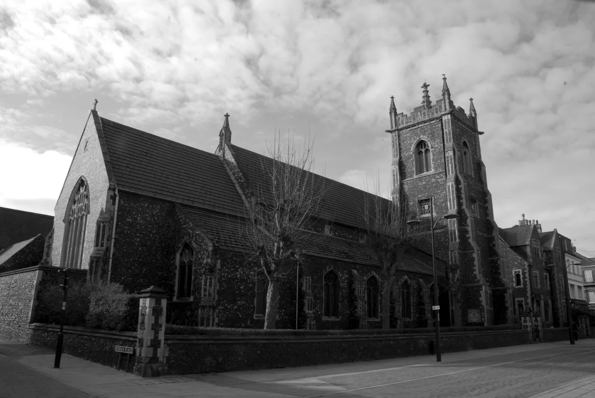
📷 3Historic churches · East of England
St Mary's Church, Great Yarmouth
St Mary's Church, Great Yarmouth — church in Great Yarmouth, Norfolk, England, UK.
📷 5Theatres · East of England
Cannon Great Yarmouth
Cannon Great Yarmouth — a cinema heritage in england-east, United Kingdom.
 📷 3
📷 3Public art & sculpture · East of England
George and the Dragon
George and the Dragon — a public art in england-east, United Kingdom.
Hotels · East of England
The Troll Cart
The Troll Cart — a hotel in england east.
 📷 4
📷 4Theatres · East of England
Empire Cinema
Empire Cinema in England East, United Kingdom.
More museums in this region
 📷 3
📷 3Museums · East of England
Aldeburgh Museum
Aldeburgh Museum — independent Museum in the East of England, United Kingdom.
 📷 3
📷 3Museums · East of England
Alfred Corry Lifeboat Museum
Alfred Corry Lifeboat Museum — UK museum in Southwold, East Suffolk, England.
 📷 3
📷 3Museums · East of England
Ancient House Museum
Ancient House Museum — Grade I listed building in Thetford, Breckland District, Norfolk, England, United Kingdom.
 📷 3
📷 3Museums · East of England
Beccles and District Museum
Beccles and District Museum — Museum in United Kingdom.
Frequently asked questions
- Where is Borough of Great Yarmouth?
- Borough of Great Yarmouth is in Norfolk, East of England, United Kingdom (postcode NR30 2FH), in the parish of Great Yarmouth, unparished area.
- Who owns Borough of Great Yarmouth?
- Borough of Great Yarmouth is owned by Great Yarmouth Borough Council.
- How do I get to Borough of Great Yarmouth?
- Drivers can navigate to postcode NR30 2FH. It sits within the Great Yarmouth parliamentary constituency.