Forts · South East England
Blood Point
Blood Point is a fort in the United Kingdom.

David Anstiss — CC BY-SA 2.0 via Wikimedia Commons licence
Plan your visit
- Typical visit
- 45 min–1.5 h
- Nearest railway station
- Minster · 6.0 km
About
Blood Point is a fortified site in Kent, South-East England. The site is within the Kent Downs National Landscape (AONB). It sits within the Herne Bay and Sandwich parliamentary constituency. The nearest railway station is Minster, about 6.0 km away. Postcode area CT3.
Photo gallery
Protected designations
- Area of Outstanding Natural Beauty: Kent Downs
Designations sourced from Natural England open data under OGL v3.
Place summary
Blood Point is a fort located in Stourmouth, Kent, within South-East England. It is situated in an Area of Outstanding Natural Beauty (AONB) designated as part of the Kent Downs.
AI-generated from the structured facts on this page (operator, designation, listing, era). Not a substitute for visiting.
- Coordinates
- 51.3251, 1.2304
- County
- Kent
- District
- Dover
- Parish
- Stourmouth
- Postcode
- CT3 1HT
- Parliamentary constituency
- Herne Bay and Sandwich
- Nearest railway station
- Minster — 6 km
Sources
- osm: n2091289481 (ODbL)
Other places nearby
Loading nearby places…
Nearby
 📷 5
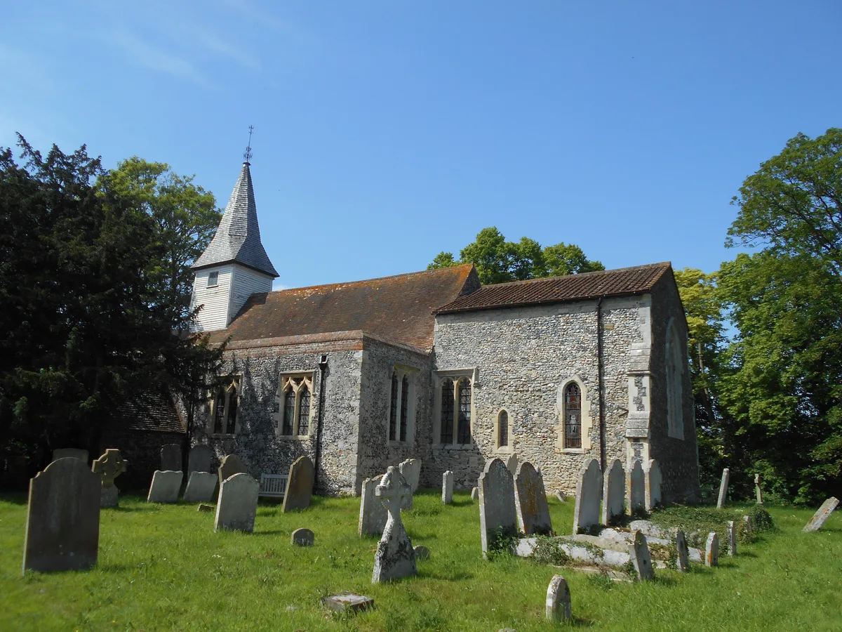
📷 5Historic churches · South East England
All Saints Church, West Stourmouth
All Saints Church, West Stourmouth — church in West Stourmouth, Kent, England, UK.
 📷 5
📷 5Manor houses · South East England
Paddledock Manor
Paddledock Manor — Grade II listed building-listed manor in england-south-east, United Kingdom.
 📷 5
📷 5Parks · South East England
Grove Ferry Picnic Area
Grove Ferry Picnic Area — park in Kent, England, UK.
 📷 5
📷 5Historic houses · South East England
Marleybrook House Wedding Venue
Marleybrook House Wedding Venue — a other in england-south-east, United Kingdom.
📷 5Natural landmarks · South East England
Marleybrook Wedding Venue
Marleybrook Wedding Venue — a other in england-south-east, United Kingdom.
 📷 5
📷 5Museums · South East England
Sarre, Kent
Sarre, Kent — a museum in england-south-east, United Kingdom.
More forts in this region
 📷 5
📷 5Forts · South East England
Admiralty Pier Turret
Admiralty Pier Turret is a fort in the United Kingdom.
 📷 5
📷 5Forts · South East England
Ashley Bombing Range(WW2)
Ashley Bombing Range(WW2) is a fort in the United Kingdom.
 📷 5
📷 5Forts · South East England
Battle of Aldbourne Chase
Battle of Aldbourne Chase — Battlefield site, dating to 1643-09-18.
'_-_cropped.jpg?width=1200) 📷 5
📷 5Forts · South East England
Battle of Cheriton
Battle of Cheriton is a fort in the United Kingdom.
Frequently asked questions
- Where is Blood Point?
- Blood Point is in Kent, South-East England, United Kingdom (postcode CT3 1HT), in the parish of Stourmouth.
- Is Blood Point a protected site?
- Yes — Blood Point is part of the Kent Downs National Landscape (AONB).
- How do I get to Blood Point?
- The nearest railway station is Minster, about 6.0 km away. Drivers can navigate to postcode CT3 1HT.