Mountains & hills · North West England
Blawith Knott
Blawith Knott — Named summit at 248 m.

Wikimedia Commons contributors — see linked file page for photographer and licence licence
Plan your visit
- Typical visit
- 3 h–8 h
- Best time of year
- Late spring – early autumn (May–Oct)
- Nearest railway station
- Foxfield · 5.9 km
- Free entry
- Dog-friendly
About
Blawith Knott is a named summit in the United Kingdom. Wikidata describes it as: "Named summit at 248 m.". Coordinates: 54.2858°, -3.1373°.
Photo gallery
Protected designations
- Site of Special Scientific Interest: Subberthwaite, Blawith and Torver Low Commons SSSI
Designations sourced from Natural England open data under OGL v3.
From the Wikipedia article
Blawith Knott is a hill in the south of the English Lake District, near Woodland, Cumbria. It is the subject of a chapter of Wainwright's book The Outlying Fells of Lakeland. It reaches 806 feet (246 m) and Wainwright's clockwise route from the fell road to the south-west also includes Tottlebank Height at 775 feet (236 m). He describes Blawith Knott as "a magnificent viewpoint", with both a panorama of Lake District fells to the north and, to the east to south, views which, on a clear day, include the Howgill Fells, Whernside and Ingleborough.
Excerpt from Wikipedia under CC BY-SA 4.0. See the source article linked in Sources below.
- Coordinates
- 54.2858, -3.1373
- District
- Westmorland and Furness
- Parish
- Blawith and Subberthwaite
- Postcode
- LA12 8EW
- Parliamentary constituency
- Westmorland and Lonsdale
- Nearest railway station
- Foxfield — 5.9 km
Sources
- osm: n5058004786 (ODbL)
- wikipedia: Blawith Knott (CC BY-SA 4.0)
- commons: Blawith Knott - geograph.org.uk - 318474.jpg (CC BY-SA 4.0)
Other places nearby
Loading nearby places…
Nearby
Caravan parks · North West England
Birch Bank
Birch Bank — a caravan park in england north west.
Campsites · North West England
Birch Bank Campsite
Birch Bank Campsite — a campsite in england north west.
 📷 3
📷 3Archaeological sites · North West England
Heathwaite Settlement
Heathwaite Settlement — a archaeological in england-north-west, United Kingdom.
 📷 3
📷 3Historic churches · North West England
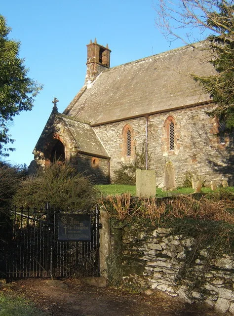
St John the Evangelist's Church, Woodland
St John the Evangelist's Church, Woodland — church in Cumbria, England.
Historic houses · North West England
Nutty Sheepfold
Nutty Sheepfold — a historic house in england-north-west, United Kingdom.
 📷 3
📷 3Historic churches · North West England
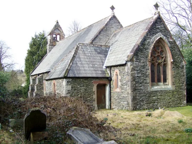
St John the Baptist's Church, Blawith
St John the Baptist's Church, Blawith — grade II listed church in Blawith and Subberthwaite, Westmorland and Furness, Cumbria , England, UK.
More mountains in this region
 📷 3
📷 3Mountains & hills · North West England
Allen Crags
Allen Crags — Named summit at 785 m.
 📷 3
📷 3Mountains & hills · North West England
Alum Pot
Alum Pot — Open shaft pothole in North Yorkshire.
 📷 3
📷 3Mountains & hills · North West England
Arnside Knott
Arnside Knott — Named summit at 159 m.
 📷 3
📷 3Mountains & hills · North West England
Aye Gill Pike
Aye Gill Pike — Named summit at 556.3 m.
Frequently asked questions
- Where is Blawith Knott?
- Blawith Knott is in North-West England, United Kingdom (postcode LA12 8EW), in the parish of Blawith and Subberthwaite.
- Is Blawith Knott a protected site?
- Yes — Blawith Knott is part of the Subberthwaite, Blawith and Torver Low Commons SSSI Site of Special Scientific Interest.
- Is Blawith Knott free to visit?
- Yes, Blawith Knott is free to enter.
- How do I get to Blawith Knott?
- The nearest railway station is Foxfield, about 5.9 km away. Drivers can navigate to postcode LA12 8EW.